Etter landing fikk vi en kort rundtur i byen før vi fortsatte mot Peloponnes, og den lille byen Tolo, hvor vi skulle bo de neste 14 dagene.
Hotel King Minos
 |
Athens
is the historical capital of
Europe, with a long history, dating from the first settlement in the Neolithic age. In the 5th Century BC (the “Golden Age of Pericles”) – the culmination of Athens’ long, fascinating history – the city’s values and civilization acquired a universal significance. Over the years, a multitude of conquerors occupied Athens, and erected unique, splendid monuments - a rare historical palimpsest. In 1834, it became the capital of the modern Greek state and in two centuries since it has become an attractive modern metropolis with unrivalled charm. A large part of the town’s historic centre has been converted into a 3-kilometre pedestrian zone (the largest in Europe), leading to the major archaeological sites (“archaeological park”), reconstructing – to a large degree – the ancient landscape. http://www.visitgreece.gr/en/main_cities/athens Athens is the capital and largest city of Greece and one of the oldest cities in the world with a recorded history that goes back 3,400 years. Classical Athens was a center for philosophy, art, and learning and considered the cradle of Western civilization and democracy. Today, Athens is a cosmopolitan metropolis that is the financial, political, cultural and economic center for the country. In 2016, Athens had an estimated population of over 665,000 in the city proper or 3.75 million in the metropolitan area. Athens Population 2023 (worldpopulationreview.com) (1. november 2023) Til høyre An acropolis (Ancient Greek: ἀκρόπολις, akropolis; from akros (άκρος) or akron (άκρον), "highest, topmost, outermost" and polis (πόλις), "city"; plural in English: acropoles, acropoleis or acropolises) was in ancient Greece a settlement, especially a citadel, built upon an area of elevated ground—frequently a hill with precipitous sides, chosen for purposes of defense. Acropoleis became the nuclei of large cities of classical antiquity, such as ancient Athens, and for this reason they are sometimes prominent landmarks in modern cities with ancient pasts, such as modern Athens. https://en.wikipedia.org/wiki/Acropolis |
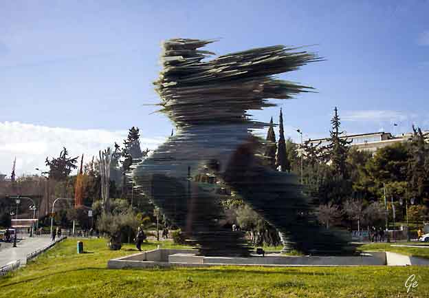
"Løpern" glasskulptur av Costas Varotsos.
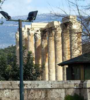 |
The Temple
of Olympian Zeus (Greek: Ναός του Ολυμπίου Διός, Naós tou Olympíou Diós), also known as the Olympieion or Columns of the Olympian Zeus, is a former colossal temple at the center of the Greece capital Athens. It was dedicated to "Olympian" Zeus, a name originating from his position as head of the Olympian gods. Construction began in the 6th century BC during the rule of the Athenian tyrants, who envisaged building the greatest temple in the ancient world, |
in the 2nd century AD, some 638 years after the project had begun.
During the Roman period the temple -that included 104 colossal columns-
was renowned as the largest temple in Greece and housed one of the largest
cult statues in the ancient world.
https://en.wikipedia.org/wiki/Temple_of_Olympian_Zeus,_Athens
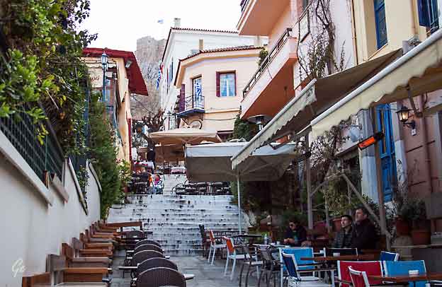
Restaurantgate med Akropolis i bakgrunnen.
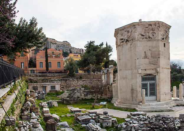
Tower of the Winds
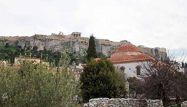
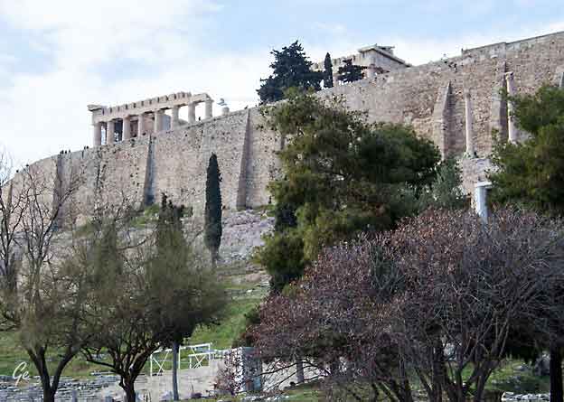
Akropolis
-Located just outside the northern corner of the Roman Agora, the library
was built on the site of Late Hellenistic and Early Roman housing.
Becoming the largest library in Athens it was built to house not only books
but also as a repository for the official state archives.
Several important schools of learning and philosophy also occupied the building.
https://www.ancient.eu/article/839/the-library-of-hadrian-athens/
The Tower of the Winds or the Horologion of Andronikos Kyrrhestes is an octagonal Pentelic marble clocktower in the Roman Agora in Athens that
functioned as a horologion or "timepiece". It is considered the world's first
meteorological station. Unofficially, the monument is also called Aerides
(Greek: Αέρηδες), which means Winds. The structure features a combination
of sundials, a water clock, and a wind vane. It was supposedly built by
Andronicus of Cyrrhus around 50 BC, but according to other sources, might
have been constructed in the 2nd century BC before the rest of the forum.
In summer of 2014, the Athens Ephorate of Antiquities began cleaning and
conserving the structure; restoration work was completed in August 2016.
https://en.wikipedia.org/wiki/Tower_of_the_Winds
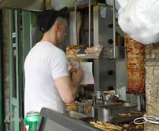 Dagens lunsj |
A gyro or gyros[
(Greek: γύρος, gyros [ˈʝiros],
literally 'turn') is a Greek dish made from meat cooked on a vertical rotisserie. Like shawarma and tacos al pastor, it is derived from the lamb-based doner kebab. In Greece it is now most often pork, or chicken, while a mixture of beef and lamb is common in the U.S. and other countries. It is usually served wrapped or stuffed in a flatbread such as pita, with tomato, onion, tzatziki sauce, and sometimes french fries. https://en.wikipedia.org/wiki/Gyro_(food) |
 |
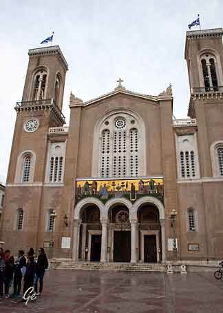 |
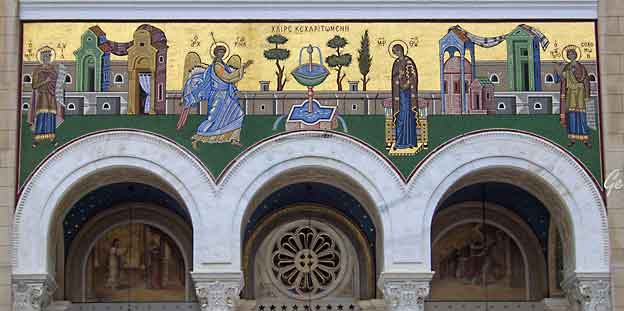
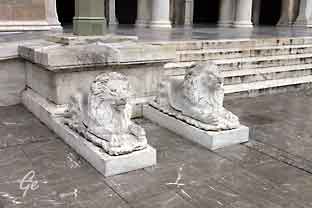 The Metropolitan Cathedral of the Annunciation is the cathedral church of the Archbishop of Athens and all Greece. Konstruction of the Cathedral began on Christmas Day, 1842, with the laying of the cornerstone by King Othon and Queen Amalia. https://www.athenskey.com/metropolis-cathedral-of-the- annunciation.html |
Turks the great powers decided that they needed a king and chose Otto of
Bavaria. Since he was too young to actually rule he came with a military
force and three regents who ruled as dictators, imposing heavy taxes, and
stealing from the country. When the king finally came of age the Greeks who
had fought to free the country from Turkish occupation were now fed up with
the tyranny of the Bavarians. With the support of British diplomats, two
Greek soldiers, Dimitrios Kallerges and Ioannes Makriyannis led their troops
to the palace and demanded the king get rid of the foreigners and within thirty
days produce a constitution. This was the end of foreign domination of Greece.
https://www.athensguide.com/syntagma.html
one-hour shifts around the clock, three times every two days. They work in pairs in
order to perfectly coordinate their movements which are done in slow motion to
preserve the guards circulation after standing completely still for one hour.
From Monday to Saturday, the Evzones dress in their
khaki summer service uniform
or in their black winter uniform, depending on the
season.
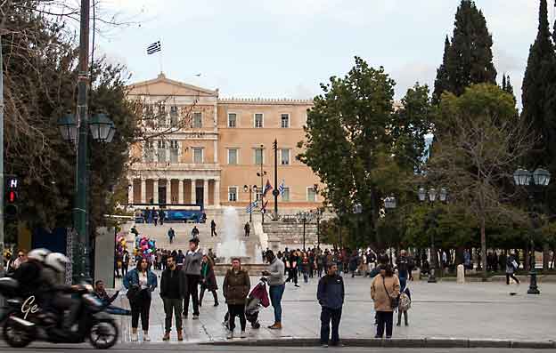
At the top of Syntagma is the Parliament Building, formerly the King's Palace,
built between 1836 and 1840 by King Otto and financed by his father
Ludwig I of Bavaria.
https://www.athensguide.com/syntagma.html
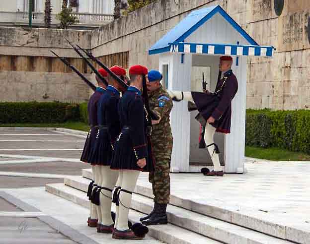
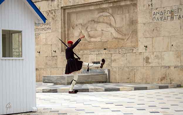
The tomb of the unknown soldier is guarded by Evzones, the elite soldiers
who also guard the Palace and are chosen for their height and strength.
https://www.athensguide.com/syntagma.html
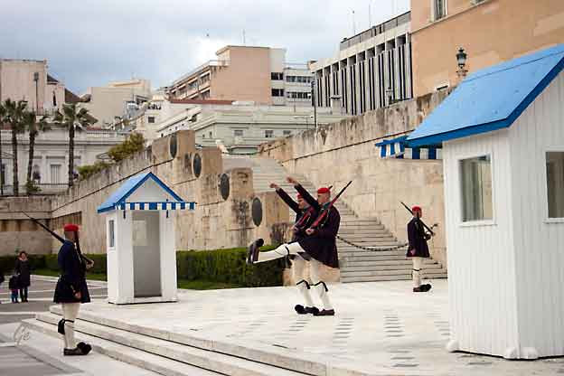
Etter vaktavløsingen kjørte vi mot hotellet vårt, King Minos, i Tolo.
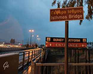
På veien stoppet vi ved Korintkanalen.
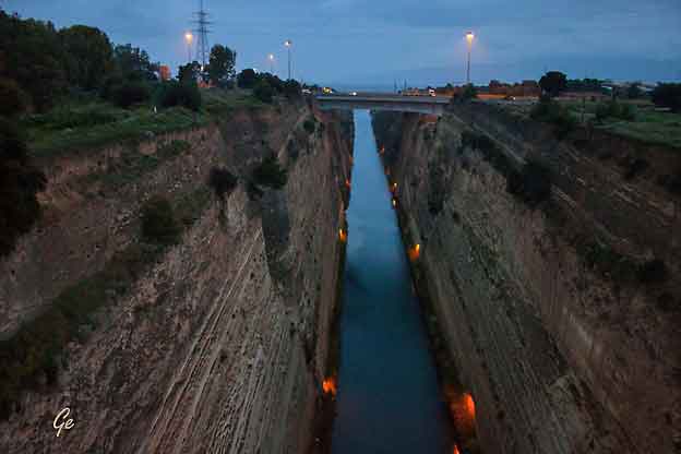
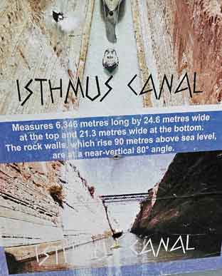
The Corinth Canal (Greek: Διώρυγα της Κορίνθου, translit.
Dhioryga tis Korinthou) connects the Gulf of Corinth with the
Saronic Gulf in the Aegean Sea.
 |
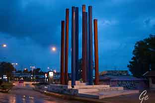 |
through the Isthmus at sea level and has no locks. It is 6.4 kilometres (4 mi) in
length and only 21.4 metres (70 ft) wide at its base, making it impassable for most modern ships.
Nowadays it has little economic importance and is mainly a tourist attraction.
The canal was initially proposed in classical times and a failed effort was made to
build it in the 1st century AD. Construction started in 1881 but was hampered by geological and financial problems that bankrupted the original builders.
It was completed in 1893 but, due to the canal's narrowness, navigational
problems and periodic closures to repair landslides from its steep walls, it failed
to attract the level of traffic expected by its operators.
https://en.wikipedia.org/wiki/Corinth_Canal
The rule of King Minos upon Crete was said to have been long and
prosperous, and it was said that the reign of King Minos was being
guided by the hand of Zeus himself.
During the rule of Minos the importance of Crete increased greatly,
and Minos built up the island’s The rule of King Minos was also
noted for the introduction of a fair and just legal system which
treated all citizens the same; indeed, so just was the laws of Crete
that Minos was consulted by other city states, including Sparta and
Corinth, about the re-codifying of their own systems.navy so that it
was amongst the most powerful military forces in the ancient world.
Minos was expected, by Poseidon, to sacrifice the white bull that had
been sent by the god, but taken by the magnificence of the beast,
King Minos substituted a lesser beast in its place. So, Poseidon,
transposed the love Minos had of the white bull onto Pasiphae,
who now had a physical attraction for the bull.
With the assistance of Daedalus, the master craftsman who was in
the servitude of Minos, Pasiphae was able to sate her urges, but by
doing so, Pasiphae became pregnant. A half-boy, half-bull child was
born to Pasiphae, a boy that would become known as the Minotaur,
the “bull of Minos”.
the rest of the story at
https://www.greeklegendsandmyths.com/minos.html
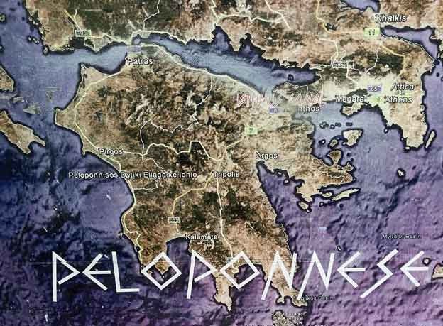
The Peloponnese (/ˈpɛləpəˌniːz/)or Peloponnesus (/ˌpɛləpəˈniːsəs/; Greek: Πελοπόννησος, Peloponnisos, Greek pronunciation: [peloˈponisos]) is a peninsula and geographic region in southern Greece. It is connected to the
central part of the country by the Isthmus of Corinth land bridge which
separates the Gulf of Corinth from the Saronic Gulf. During the late Middle Ages
and the Ottoman era, the peninsula was known as the Morea (Greek: Μωρέας),
a name still in colloquial use in its demotic form (Greek: Μωριάς).
https://en.wikipedia.org/wiki/Peloponnese
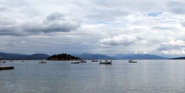
Tolo (Greek: Τολό), in Katharevousa known as Tolon (Τολόν) is a small village in Greece on the Peloponnese peninsula. It is part of the municipal unit Asini, in Argolis.
The bay of Tolon (part of the Argolic Gulf) was first written about by Homer, as
was Asini in the Iliad, named as one of the cities whose fleet took part in the
Trojan War. In the centuries to come the bay of Tolon gave refuge to battle ships
at various times and then during the Byzantine period was revived as an
auxiliary port to Nafplio.
https://en.wikipedia.org/wiki/Tolo,_Greece
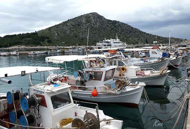
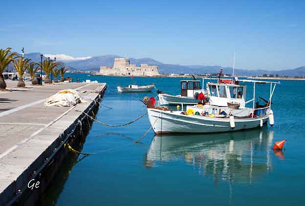
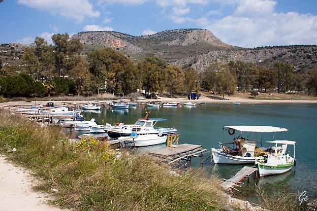
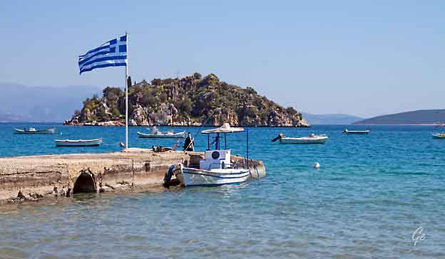
Fiskebåter i havna i Tolo.
Bak sees øya Romvi.
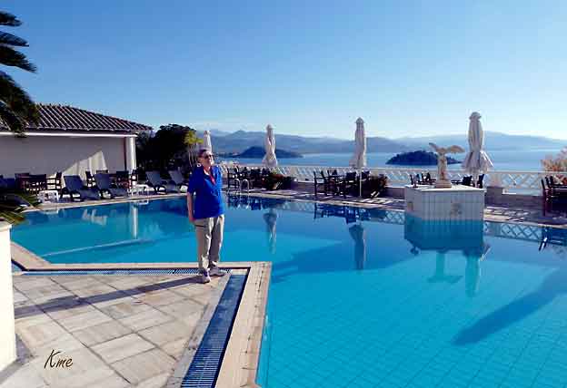
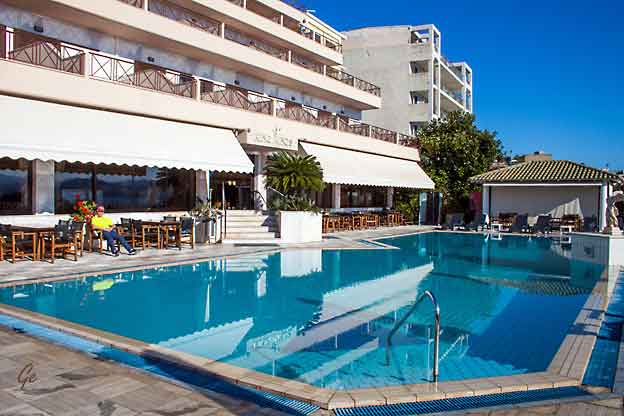
Bassenget på hotel King Minos
Program for dagen: Vi skulle gå fra hotell til utgravningene ved Asini.
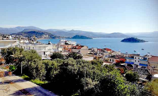
Tolo sett fra hotellet.
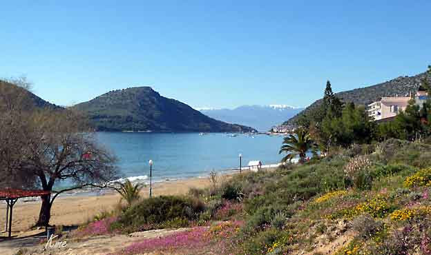
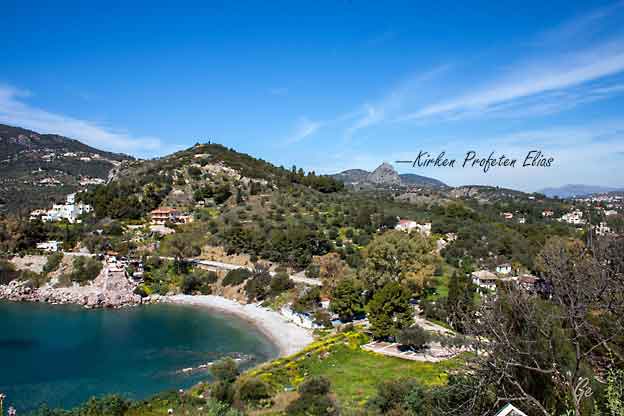
Sjø, strand, blomsterenger og snøfjell
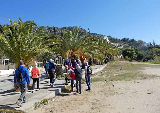
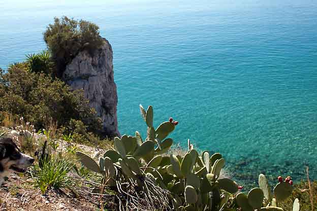
The archaeological site of Asine, a city mentioned by Homer, includes the
acropolis, built upon a triangular rocky hill by the sea, the surrounding
area and the hill of "Barbouna" to the west. Excavations have brought to
light a settlement inhabited during the Early and Middle Helladic, the
Mycenaean, the Geometric and the Archaic periods, the corresponding
cemeteries as well as an important mycenaean necropolis on the "Barbouna".
The walls of the acropolis with the large bastion date from the Hellenistic
period (3rd century B.C.). The acropolis was reconstructed during the
Byzantine times.
Excavations of both the acropolis and the Mycenaean cemetery of ancient
Asine were carried out by the Swedish Archaeological Mission in 1922-1930.
Work was resumed from 1970 onwards by the Greek Archaeological
Service and the Swedish Archaeological Institute.
https://www.gtp.gr/TDirectoryDetails.asp?ID=14591
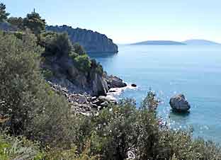 |
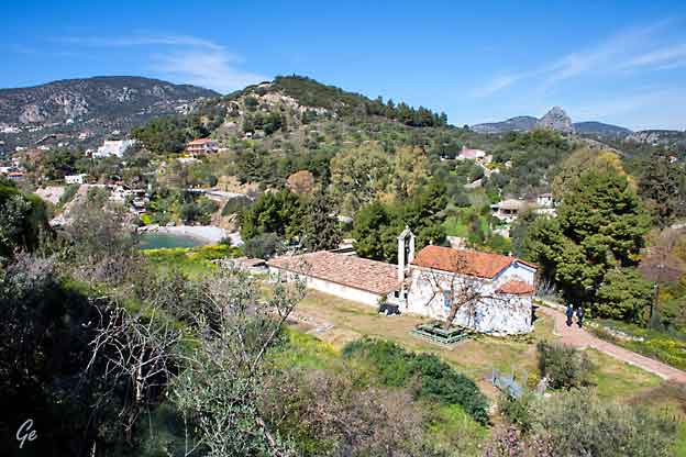
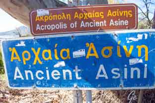 Ancient Asini ligger på klippen lengst ute. |
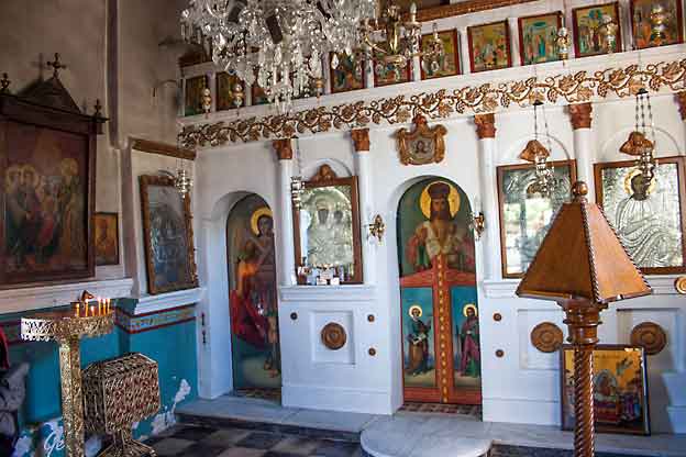
At the archaeological excavations of the Lower City is
a small chapel dedicated to the Virgin Mary.
 |
 |
Bildet til høyre:
På toppen av fjellet ligger kirken Profeten Elias
Vi gikk dit senere i ferien.
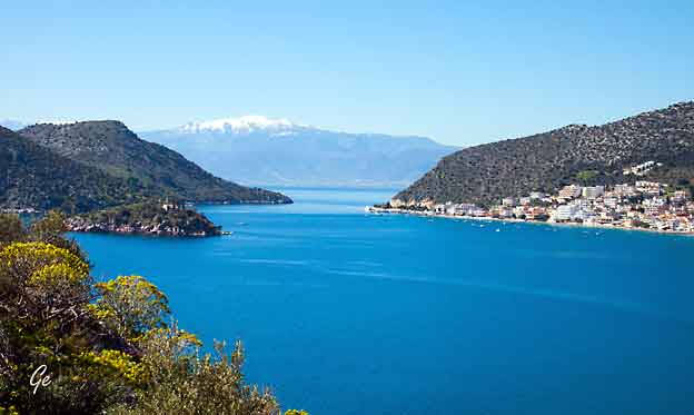
Snøfjellene er ikke langt unna.
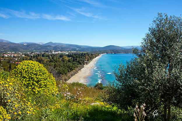
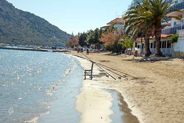
Lang badestrand
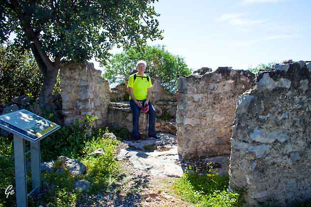
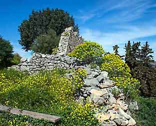
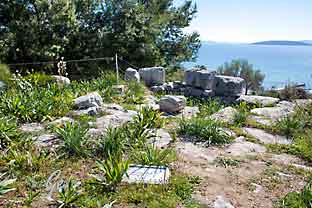 Bilder fra utgravingsområdet. |
 |
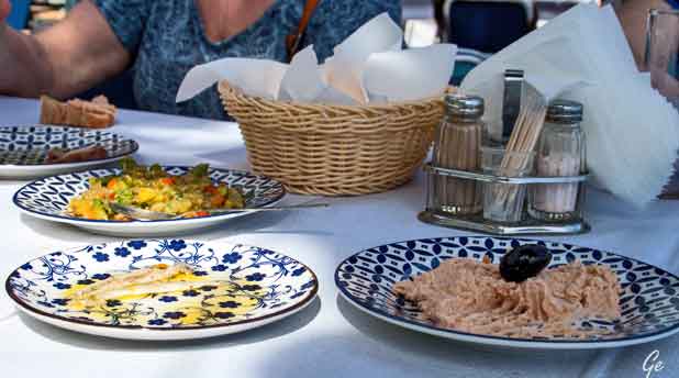
Etter turen fikk vi ouzo med tilbehør.
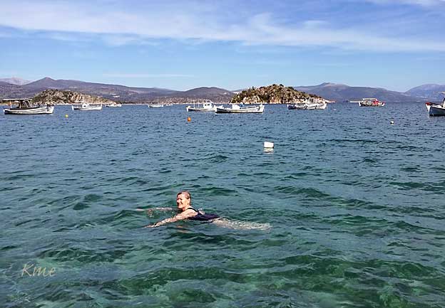
Og så et forfriskende bad, ca 16 grader tror jeg.
Programmet: Utflukt til Nafplio. Der var vi først i Palamidi-borgen.
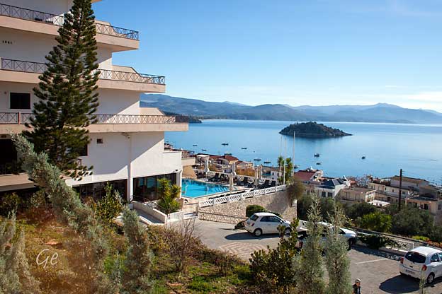
Hotel King Minos med basseng og utsikt.
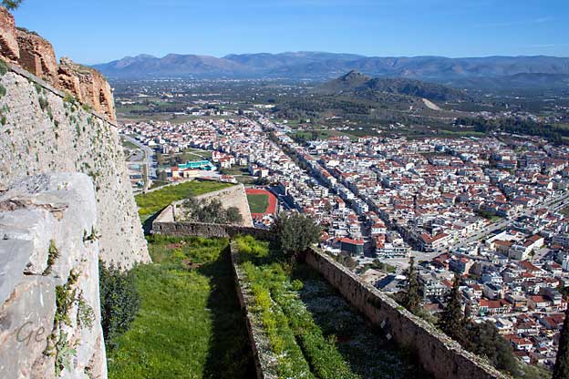
| Palamidi is the
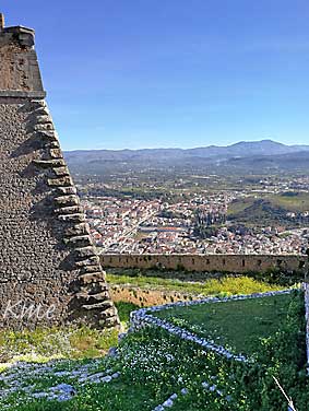
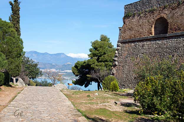
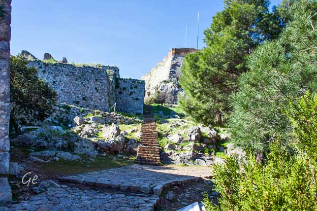
fortress that dominates the city, in the sense that it almost floats on a steep hill (216 m) over Nafplio. Between 1711 and 1714 the Venetians built the castle (an amazingly short time), and this is in fact the final fortress of importance the Venetians built outside their own country. It’s also considered one of the most impressive. Yet, in 1715, one year after completion, the Turks defeated the castle. Nafplio is one of the first places in Greece that won independence. November 29th, 1822, a group of Greek rebels overpowered the Turks in Palamidi, and the next day the town could celebrate its freedom. http://visitnafplio.com/palamidi.html |
 |
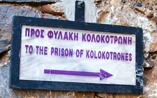
Theodoros Kolokotronis (Greek: Θεόδωρος Κολοκοτρώνης;
3 April 1770 – 4 February 1843) was a Greek general and the pre-eminent
leader of the Greek War of Independence (1821–1829) against the
Ottoman Empire.[1][2][3] Kolokotronis's greatest success was the defeat
of the Ottoman army under Mahmud Dramali Pasha at the Battle of
Dervenakia in 1822.[4] In 1825, he was appointed commander-in-chief of
the Greek forces in the Peloponnese. Today, Kolokotronis ranks among the
most prominent figures in Greece's War of Independence.
After the war, Kolokotronis became a supporter of Count Ioannis
Kapodistrias and a proponent of alliance with Russia. When the
count was assassinated on 8 October 1831, Kolokotronis created his own administration in support of Prince Otto of Bavaria as a King of Greece.
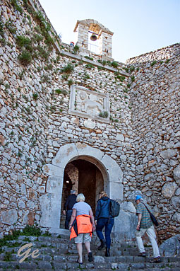 |
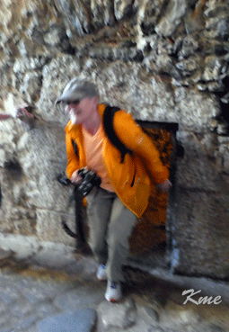 Grete kommer ut fra det stedet Kolokotrones satt fengslet |
| However, later he opposed the Bavarian-dominated regency during his rule. On 7 June 1834, he was charged with treason and sentenced to death though he was ultimately pardoned in 1835. Theodoros Kolokotronis died in 1843 in Athens one day after his son Konstantinos's (Kollinos) wedding and after a feast at the Royal Palace, in presence of King Otto. https://en.wikipedia.org/wiki/Theodoros_ Kolokotronis |
 |
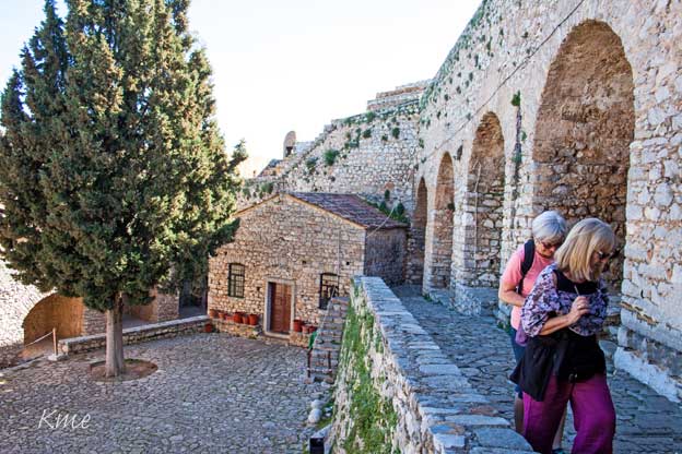
The central bastion of Aghios Andreas was the main headquarters and
was the best equipped. The chapel of Aghios Andreas is located here.
It was originally consecrated to St Gerardo, the patron saint of the Sagredo
family. It should be noted that the names of the bastions changed
according to the occupants of the fort.
https://nafplio.gr/en/arxaiologikoixoroiseimiamenu2/62-2011-03-20-10-43-36.html
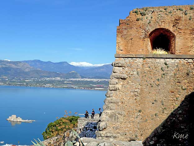
I havna ligger the fortress of Bourtzi.
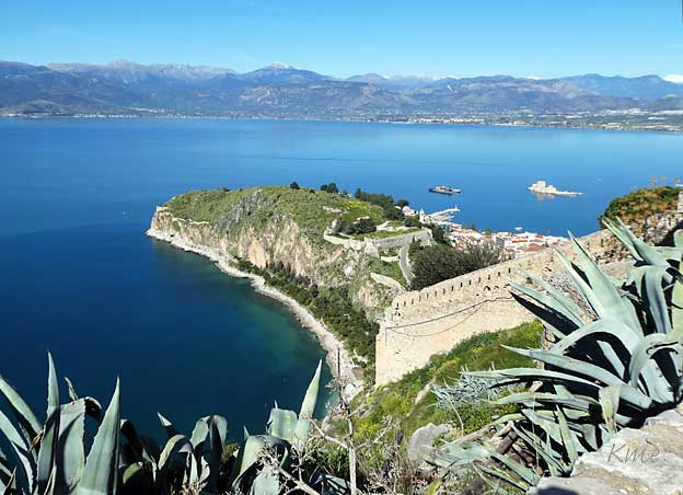
the fortress of Akronafplia, the oldest fortress of the city, is built.
It consists of 3 different castles, none of which is entirely preserved until
today.
The rocky peninsula of Acronafplia is built on three different levels, each
one of which constituted a separate wall of 900m in length, 400m in
width and 45m in height.
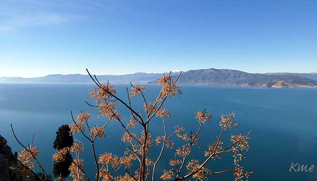
Due to its geographical position, Acronafplia had a key role in all the historical
periods of the city, from antiquity to today.
The first walling of Akronafplia is noted in the 4th century B.C. with polygonal
walls out of carved stones of the same rock. During the Byzantine era Leon Sgouros
continued the reinforcement of the walls and he made Acronafplia a great
commercial center of the time.
http://www.landlifetravel.com/the-castle-of-acronafplia-in-nafplio/
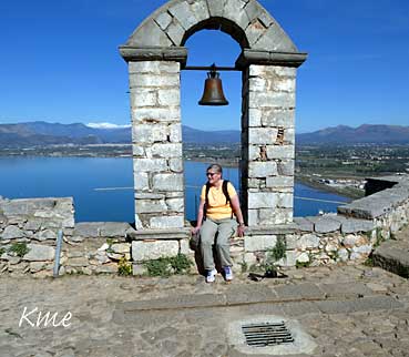 |
Klokketårnet
på Palamidi-borgen er et yndet fotomotiv. |
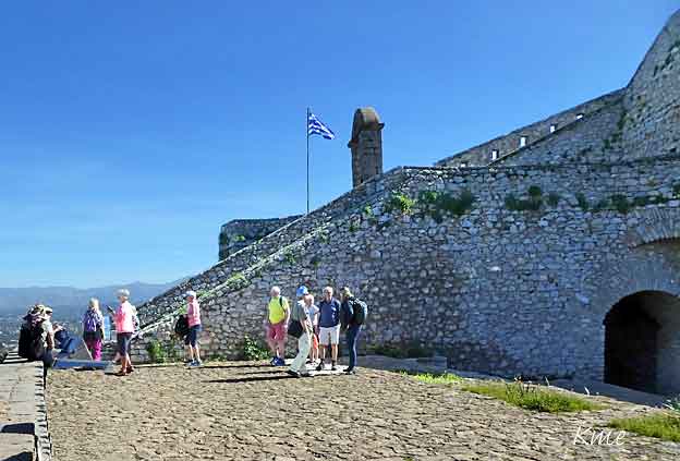
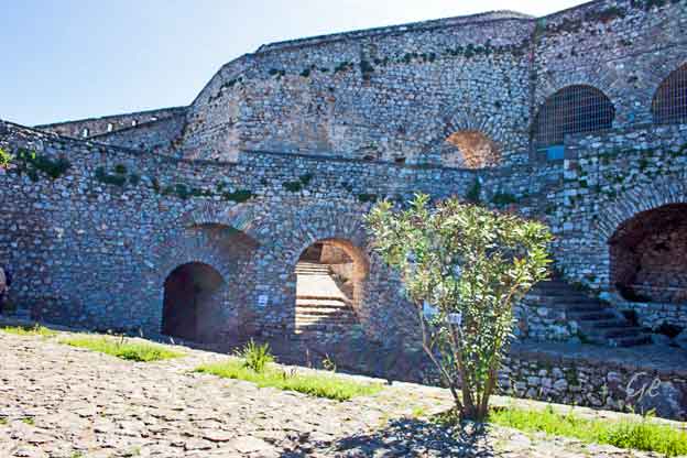
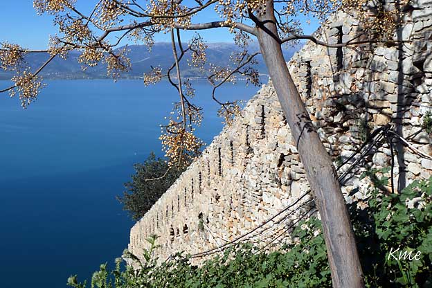
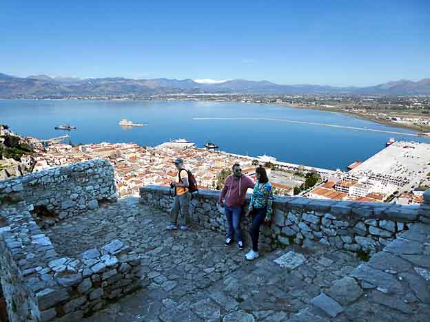
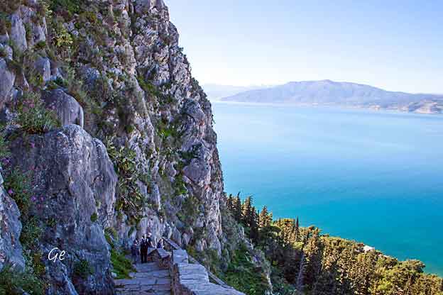
The fortress commands an impressive view over the Argolic Gulf,
the city of Náfplio and the surrounding country.
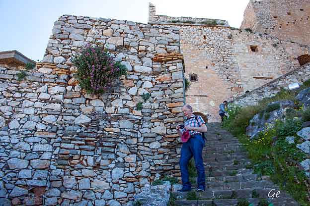
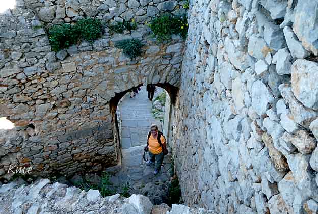
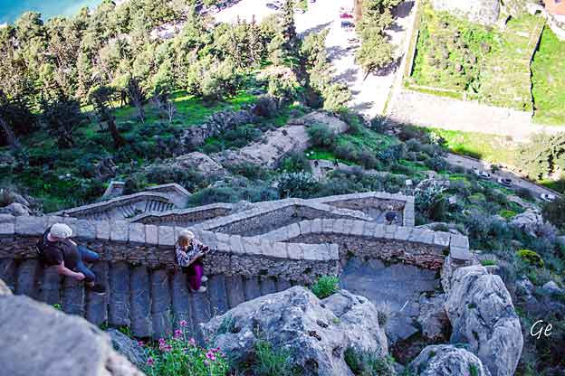
There are 913 steps in the winding stair from the town to the fortress.
However, to reach the top of the fortress there are over one thousand.
Locals in the town of Nafplion will say there are 999 steps to the top
of the castle, and specials can be found on menus that incorporate
this number to catch a tourist's eye.
https://en.wikipedia.org/wiki/Palamidi
Vi kjørte buss opp til borgen.
Men vi gikk alle 999 trinna (eller flere) fra toppen av borgen og
ned til bysentrum.
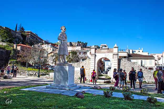
Memorial statue of Staikos Staikopoulos.
Staikos Staikopoulos (1799-1835) was a participant in the Greek War of Independence. On 29 November 1822, along with Demetrios Moschonesios,
he took the fortress of Palamidi and practically he liberated the town of
Nafplio from Ottomans.
http://wikimapia.org/30217515/Statue-of-Staikos-Staikopoulos
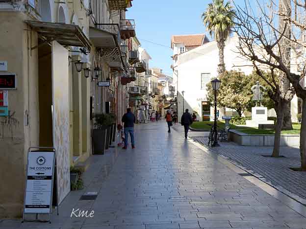
The
legend behind the name
The name reveals the man that established Nafplio:
Nafplios, was the son of
Poseidon and Amimoni. Nafplios married Klymeni and had
three children:
Palamides, Oiakos and Nafsimedon. He fortified the
city and built a castle
named of his son Palamides - who was wise and
inventor.
https://www.discovernafplio.gr/en/articles/nafplio/city
In the
beginning was the city
Traces of the polygonal walls of Akronafplia and the
tombs on the north side of
Palamidi testify that the city's history began around
the 8th century.
Nafplio, although it was a small town, managed to fend
off many invaders.
https://www.discovernafplio.gr/en/articles/nafplio/city
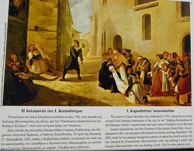
(10 or 11 February 1776 – 9 October 1831), sometimes anglicized as John Capodistrias (Greek: Κόμης Ιωάννης Αντώνιος Καποδίστριας, translit.
Komis Ioannis Antonios Kapodistrias; Russian: граф Иоанн Каподистрия, translit. Graf Ioann Kapodistriya; Italian: Giovanni Antonio Capodistria, Conte Capo d'Istria), was a Greek statesman who served as the
Foreign Minister of the Russian Empire and was one of the most distinguished politicians and diplomats of Europe. After a long and distinguished career in European politics and diplomacy he was elected as the first head of state of independent Greece (1827–31). He is considered a founder of the modern
Greek state, and the architect of Greek independence.
In 1831, Kapodistrias ordered the imprisonment of Petrobey Mavromichalis,
who had been the leader of the successful uprising against the Turks.
Mavromichalis was the Bey of the Mani Peninsula, one of the wildest and most rebellious parts of Greece—the only section that had retained its independence
from the Ottoman Empire and whose resistance had spearheaded the successful revolution.
The arrest of their patriarch was a mortal offence to the Mavromichalis family,
and on September 27, Kapodistrias was assassinated by Petrobey's brother
Konstantis and son Georgios Mavromichalis on the steps of the church of Saint Spyridon in Nafplion.
Kapodistrias woke up early in the morning and decided to go to church although
his servants and bodyguards urged him to stay at home. When he reached the
church he saw his assassins waiting for him. When he reached the church steps, Konstantisand Georgios came close as if to greet him. Suddenly Konstantis drew
his pistol and fired, missing, the bullet sticking in the church wall where it is still
visible today.
Georgios plunged his dagger into Kapodistrias's chest while Konstantis shot him
in the head. Konstantis was shot by General Fotomaras, who watched the murder
scene from his own window. Georgios managed to escape and hide in the French Embassy; after a few days he surrendered to the Greek authorities.
https://en.wikipedia.org/wiki/Ioannis_Kapodistrias
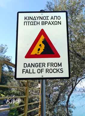 |
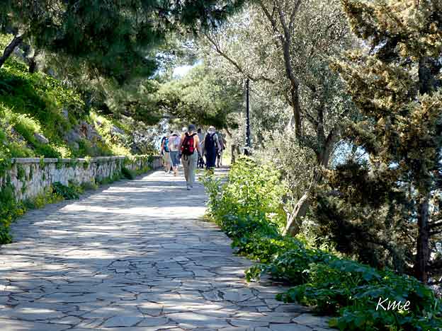
Det går en veldig fin turvei fra havna og rundt halvøya med borgen Akronapflia. Man kan riktignok risikere å få ganske store steiner i hodet, men det så ikke ut til at noen brydde seg om advarselen. Vi gikk der vi også, og heldigvis gikk det bra denne gangen også. |
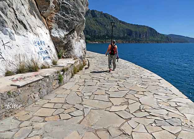
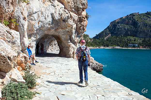
Grete og Karl Martin på tur rundt Akronapflia-halvøya.
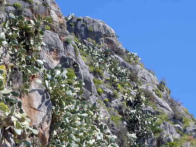
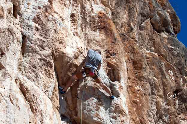
Det var klatreruter opp de bratte fjellsidene.
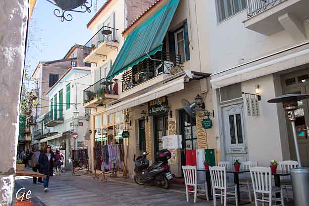
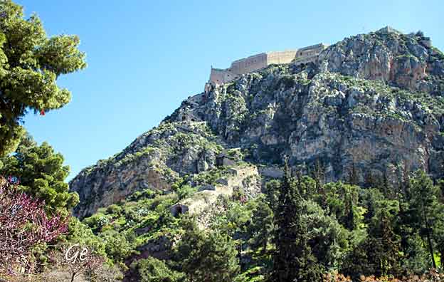
Palamidi-borgen sett fra Nafplio by.
"Fridag"
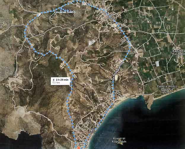
Vi tok bussen til nabobyen Asini.
Derfra gikk vi til fjelltoppen med den lille
kirken profeten Elias.
Fra kirken gikk vi tilbake til Tolo.
Asini:
It is a mansion located 10 km. S.E. of the city of Nafplion
with a population of 1064 inhabitants.
Asini is built under the mountain of the same name of the
mountain, on the top of which is the church of Prophet Elias.
https://cityofnafplio.net/en/asini/asini
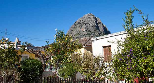
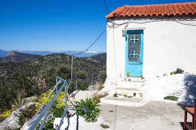
På fjelltoppen ligger den lille kirken Profeten Elias.
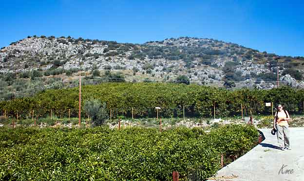
Appelsindyrking
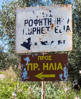 Skiltet som viser vei til trappene opp til kirken kunne kansje vært byttet ut. |
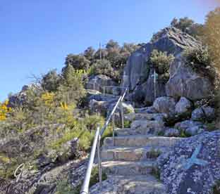 Det er malt flere kors i fjellsiden. |
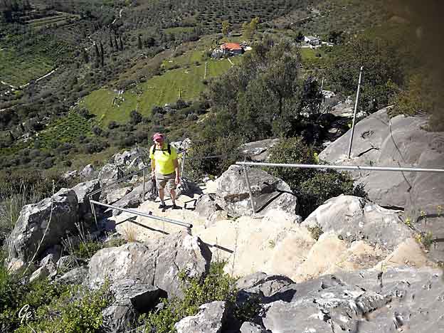
Karl Martin på vei opp de 499 trappetrinnene opp til kirken
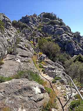 |
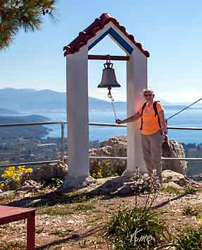 |
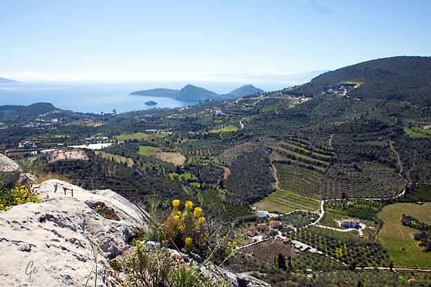
og selvfølgelig nyte utsikten.
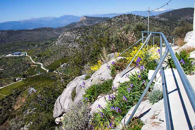
Fjellet er ikke så høyt, men likevel ser man milevis her oppe fra.
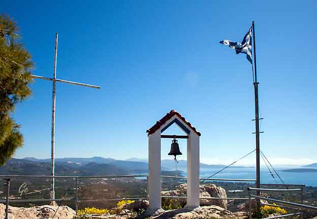
The rock that soars upwards in the beautiful scenery of Asini is called Profitis Elias. The little church that is build on top is dedicated to Prophet Elias, and thus the
name of the hill. The view at the top is panoramic (360º) offering a pretty good
idea of the surrounding area and its morphology. It is on the way to the coast of
Tolo, if you are coming from Nafplio.
There is a road that takes you from the
village of Ag. Paraskevi to foot of the hill. From there it is a 15-20 minutes
uphill walk, following the path designated by white crosses, that will take
you to the top.
olympus_mountaineering_profitis_elias_asini_greece_trad_climbing_guidebook_web.pdf (wordpress.com)
(10. mars 2022)
 |
 |
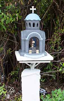
case. But just as often, shrines will be built by survivors of accidents, thanking a
saint at the location of their ordeal.
https://www.messynessychic.com/2013/08/19/the-miniature-roadside-chapels-of-greece/
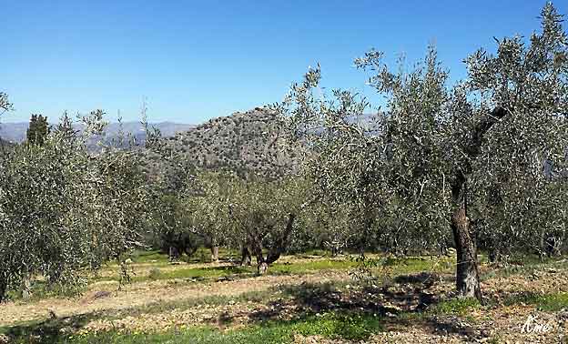
Oliven er en av de mest omtalte plantene i skriftlig tid. I Homers epos Odysseen, kryper Odyssevs under to olivenknopper som vokser
fra en enkeltstamme. Den romerske poeten Horats nevner oliven i forbindelse
med sitt eget kosthold, som han beskriver som meget enkelt: «For min del gir oliven, endivier og kattost meg næring.»
Lord Monboddo beskrev oliven i 1779 som en av de mest foretrukne matvarene
i oldtiden, og omtalte den også som en av de mest perfekte.
https://no.wikipedia.org/wiki/Oliven
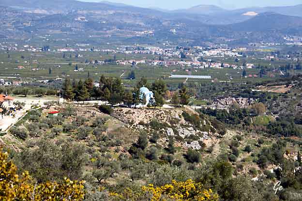
Agia Kyriaki Tolo
The picturesque church of Agia Kyriaki in Tolo is built on a beautiful spot on the
hill. The distance from the center of Tolo is just 5 minutes. It has a magnificent
view, literally breathtaking, of the bay of Tolo, with Romvi and Koronisi islands.
The beautiful and highly sophisticated church is an ideal location for those
looking for a romantic place to unite their lives or to perform the baptism of
their child. There is a road access and a parking space around the courtyard
of the church.
http://www.tolo.gr/Attractions/Argolida/Tolo/Agia_Kyriaki_Tolo-178
 |
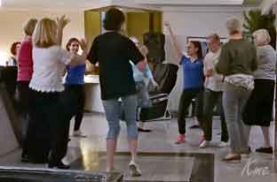 |
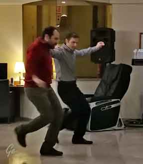
Om kvelden var det dans. Ansatte på hotellet viste oss gresk dans.
Vi klarte å lære oss grunntrinnene, men kom ikke lenger denne kvelden.
Moro var det likevel.
På programmet sto:
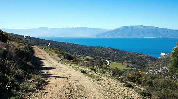
Vandring i det kuperte landskapet bak Tolo.
Vi ble kjørt opp de bratteste bakkene bak hotellet,
og fikk en fin tur oppe i høyden.
Første stopp var ved St. Georgs kapell.
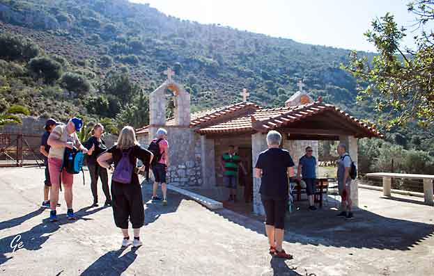
St Georgs kapell
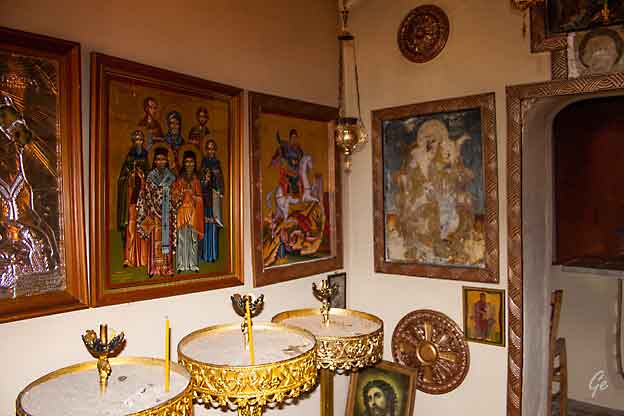
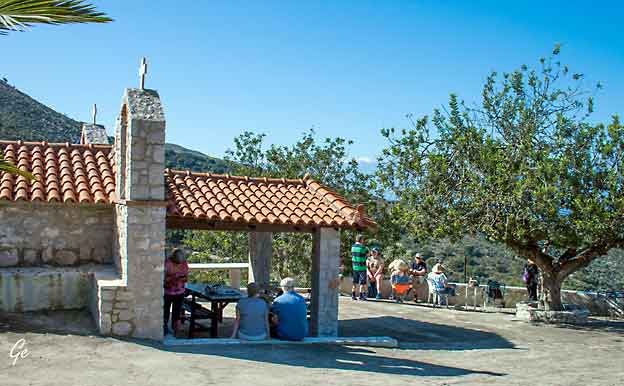
Vi tok en lang rast ved dette kapellet.
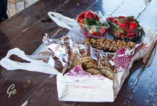 Reiselederen vår, Janne hadde kjøpt med smakebiter av diverse gresk mat som vi koste oss med utenfor kapellet. |
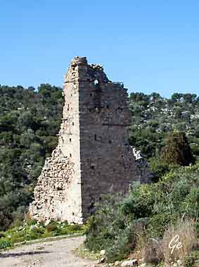 Rester etter et tyrkisk (osmansk) bolighus |
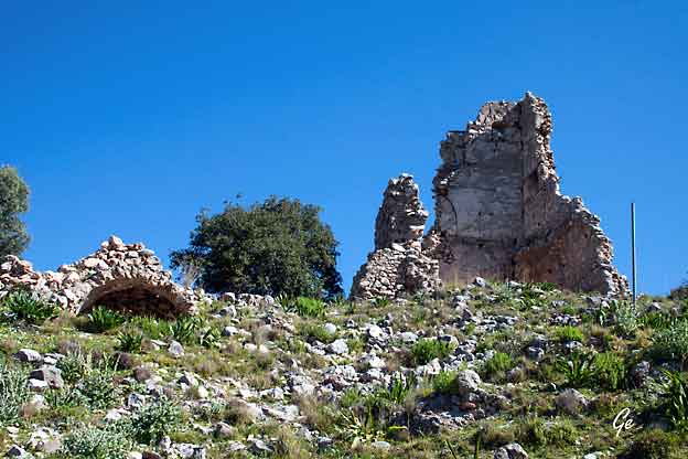
Det osmanske herredømmet var fra 1460-1828
was redecorated with hagiographies in 1570.
Today, the monastery is private and can be visited. There’s a road that takes you up
to a point and then you have to walk a small alley to get to the monastery
https://www.pocket-guide.gr/Attractions/Argolida/Asini/Monastery_of_the_Transfiguration_of_Christ-123
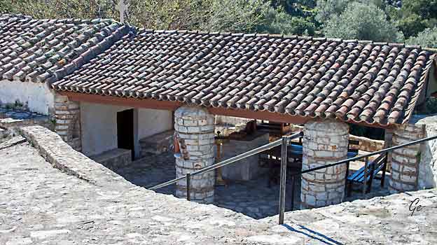
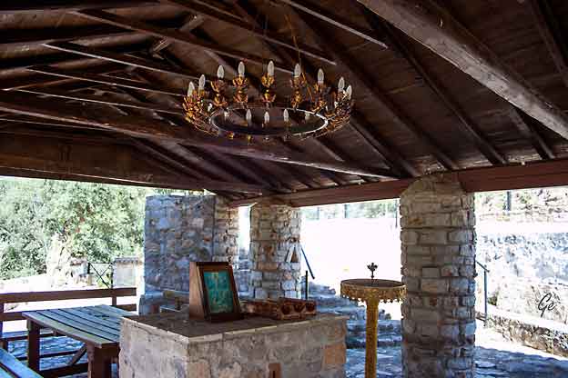
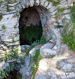 Vannkilden i klosteret |
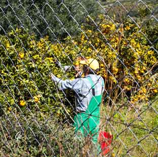 Appelsinplukking |
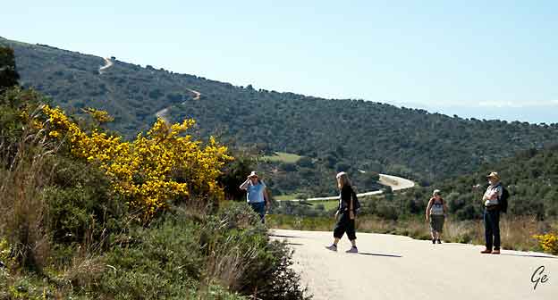
Turister på tur
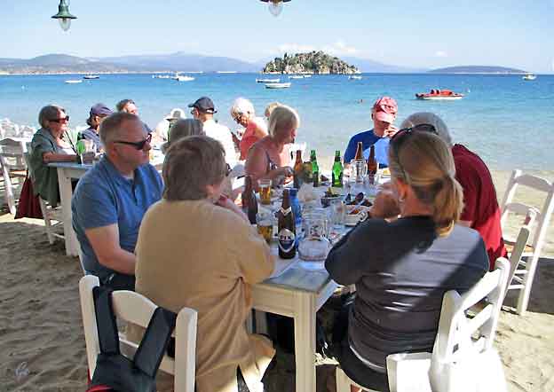
Etter turen spiste lunsj på en strandrestaurant.
Meny: et gresk fastemåltid.
Vi fikk salater, blekksprut, skjell, rogn og kjøttkaker uten kjøtt.
God mat.
Preceding the most important festival on the Greek Orthodox
calendar, Lent traditionally extends between Tsihnopempti (Smoky
Thursday), when all remaining meats are grilled up for one final night
of gluttony, and midnight on Easter’s Holy Saturday, when a Pascal
lamb or kid is slaughtered and impaled on a spit above a slow fire for
the morrow’s festivities while its entrails are boiled into a soup
(mageiritsa), and eaten with dyed-red eggs after the Resurrection church
service.
During the intervening 40 days, consumption of red meat, all meat
by-products (cheese, milk, eggs) and fish with a backbone is strictly
prohibited for practising Orthodox. Even olive oil and wine are rationed.
The rationale behind this strict fasting period is that the body must be
cleansed, as well as the spirit, in preparation for accepting communion on
Easter Day, to celebrate Christ’s resurrection from the dead.
These days, only the very devout follow the full fast, but most Greeks will
refrain from eating meat on Clean Monday (the first day of Lent) and during
Holy Week.Nonetheless, the Lenten period heralds a cornucopia of tempting
fresh salads, bean soups and stews, grilled shrimps and squid, steamed
mussels, and rice and pasta dishes with seafood crowding onto the menus at
restaurants and tavernas the length and breadth of the country.
https://www.athensinsider.com/all-you-need-to-know-about-doing-lent-like-a-greek/
Programmet: Utflukt til Arkadia-fjellenes små landsbyer.
Lokal lunsj.
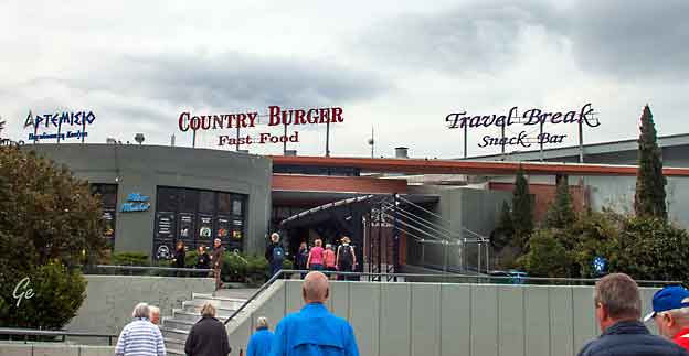
Stopp på et senter ved motorveien
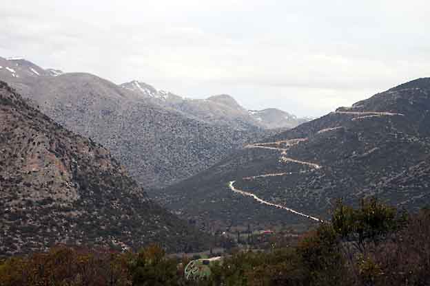
Fjell og fjellveier. Veien fører opp til en vindmøllepark.
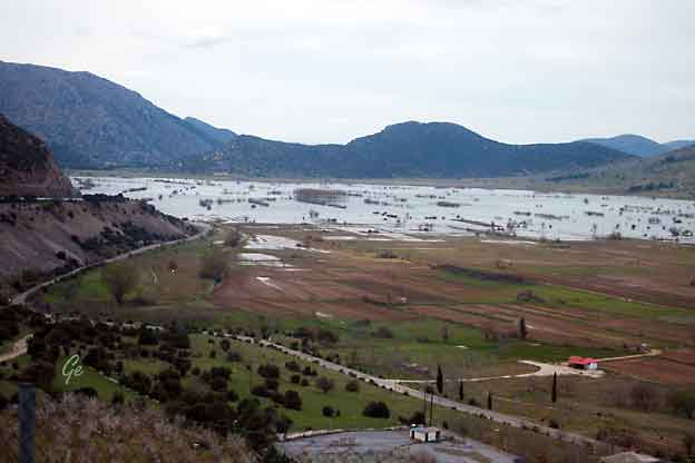
Smeltevann. Det er fortsatt ganske mye snø i fjellene,
men den smelter fort nå når varmen er kommet.
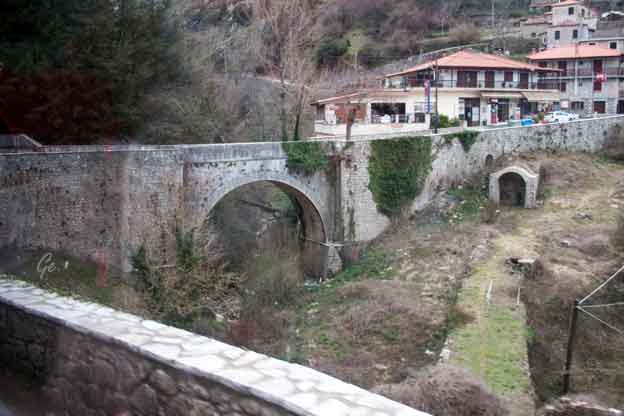
name from the mythological character Arcas, and in Greek mythology it was
the home of the gods Hermes and Pan. In European Renaissance arts, Arcadia
was celebrated as an unspoiled, harmonious wilderness; as such, it was
referenced in popular culture.
The modern regional unit of the same name more or less overlaps with the
historical region, but is slightly larger.
30. januar 2023)
monasteries sanctify the landscape here. Welcome to Mountainous
Arcadia, a mythical destination in the Peloponnese, known for its historic
villages with traditional architecture and tasteful stone guest houses.
Stemnitsa, Dimitsana, Karytaina, Ancient Gortyna … and the monasteries
of Prodromos and Philosophos all await.
Add to them rafting, hiking, local products, delicious traditional fare, the open-
air Water Power Museum and much more.
Mountainous Arcadia | Holidays in Peloponnese | Discover Greece (23. januar 2023)
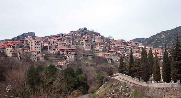
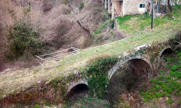
municipality in Arcadia, Peloponnese, Greece. Since the 2011 local government
reform it is part of the municipality Gortynia, of which it is the seat and a
municipal unit. The municipal unit has an area of 110.759 km2. Dimitsana is
built on the ruins of the ancient town Teuthis. The population of the village
is 342 (2011 census), while it was 611 in 2001. It has been registered as a
traditional settlement.
Dimitsana is built on a mountain slope at an elevation of 950 meters. From
its southern side a marvelous view of Megalopolis plain and Taygetus is
provided. Dimitsana is located 53 km east of Pyrgos, 31 km northwest of
Tripoli, 23 km northwest of Megalopoli and 17 km northeast of Andritsaina.
The village has a school, a historical library, several churches, a post office,
an open-air water-power museum, an open amphitheater, hotels and a square.
At the site of present-day Dimitsana there was, in ancient times, the
ancient Arcadian town Teuthis that had participated in the Trojan War,
but also in the colonization of Megalopolis.
Ιn the Greek War of Independence Dimitsana played an important role with
its gunpowder mills, but during the war a large part of its library's books were
destroyed, as Greek warriors used their paper in the 14 gunpowder mills, that
worked day and night, supplying them with gunpowder. For this reason
Dimitsana has been called "the Nation's powder keg".
In 1960 Dimitsana's population was about 2,000, but a lot of people have
since then immigrated to the United States, Australia and elsewhere.
https://en.wikipedia.org/wiki/Dimitsana
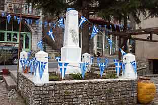 |
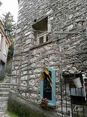 |
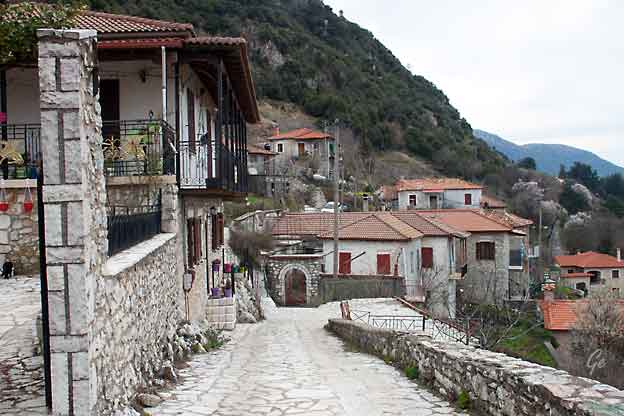
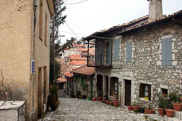
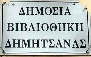 Vi fikk komme inn i det historiske biblioteket. I tillegg til bøkene hadde mange fine ting der inne. Dessverre fikk vi ikke fotografere. |
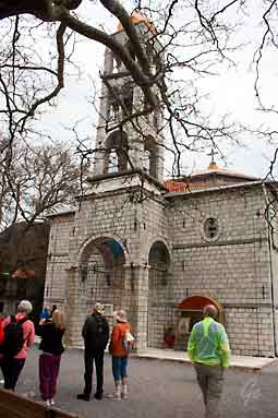 Kirken med nytt koppertak betalt av grekere som var utvandret til Amerika |
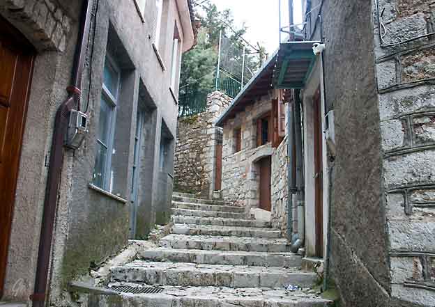
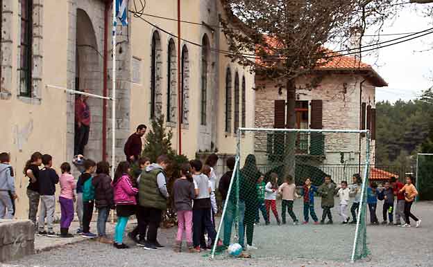
På skolen øver de på gresk dans.
De skal opptre på nasjonaldagen 25. mars.
 |
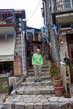 |
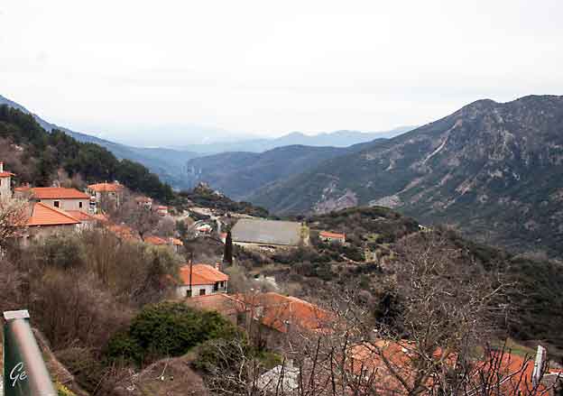
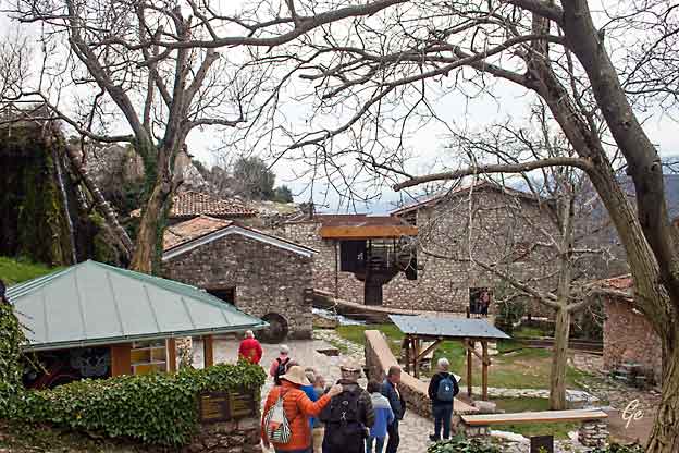
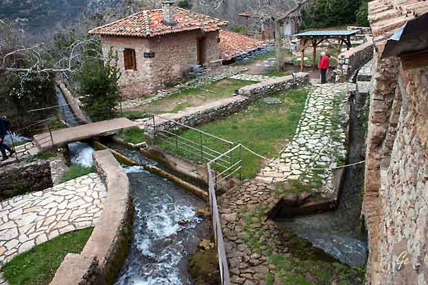
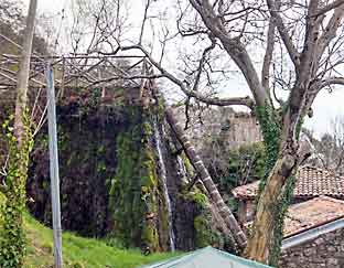 |
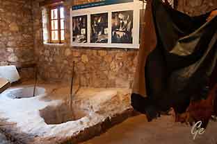 The tannery. The workshop's interior is divided into "zones" corresponding to the different stages of processing animal hides. |
the importance of water-power in traditional society. Focusing on the main
pre-industrial techniques that take advantage of water to produce a variety of
goods, it links them to the history and daily life of the local society over the ages.
The Open-Air Water Power Museum | PIOP (10. mars 2022)
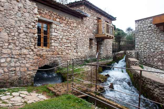
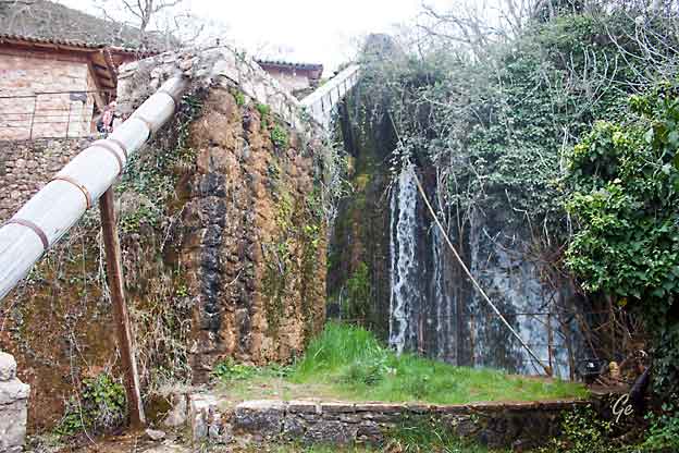
The stone-paved path leads to a flat area, where a natural reservoir is formed, and ends at the gunpowder mill. Gunpowder, a vibrant element of the region's cultural identity, remains alive in the memory and tales of Dimitsana's inhabitants. During the 1821 Greek War of Independence against Ottoman rule, their forefathers supplied the insurgents with this necessary ammunition material.
wrote: «Gunpowder we had, Dimitzana made it». Here, you can see the moving
mechanism of a gunpowder mill with pestles (or pounders), extinct in Europe
since the 18th century, while in Dimitsana it was used during the 1821
Revolution and up to the early 20th century.
http://www.piop.gr/en/diktuo-mouseiwn/Mouseio-Ydrokinisis/to-mouseio.aspx
Fra Kraftverket kjørte vi til byen Vytina hvor vi spiste lunsj.
The beautiful Vytina, a famous mountain town of Arcadia which overlooks
the central Peloponnese, it is 43 km from Tripoli and about 200 km from
Athens. The area stretches at the foot of Mainalo at an altitude of 1.033
meters and thanks to its excellent nature, is considered one of the most
famous tourist resorts of Peloponnese and one of the best in Greece.
The winter is often covered with snow and offer a unique insight to the visitor.
For the name have been several theories such as to come from an ancient
female name, the name of a wine container (vytini) due to its location,
from the word “vythos” (bottom) or it is of Slavic origin and means
“Fir-covered place”.
https://web-greece.gr/en/destinations/vytina-arcadia-greece/
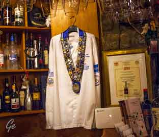 Lunsj på lokal restaurant i Vytina. Maten var tilberedt av kokk med mange utmerkelser. Panagiotis Bourtsouklis Head Chef and owner of Kokkina Pitharia restaurant welcomes you. Kokkina pitharia is a traditional and famous restaurant, located in the center of Vitina square. The interior with a fireplace, is decorated with stone and wood. Here, the costumers enjoy the creations of chef and owner Panagiotis. The restaurant`s reputation is continuously expanding since Panagiotis has a several presentations on TV Alpha channel, on weekend morning shows. Come and enjoy us. We promise you a unique dining experience. Kokkina Pitharia - Kokkina Pitharia Restaurant Vitina |
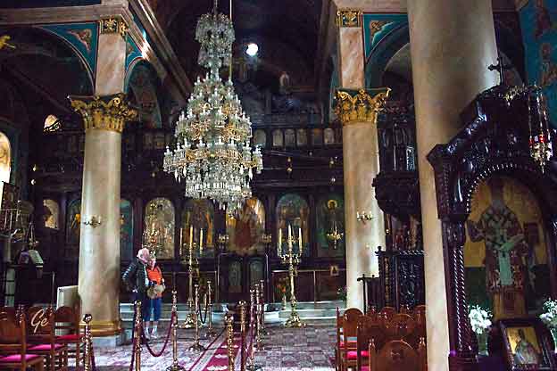
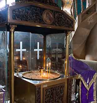 Lystenning i kirken i Vytina |
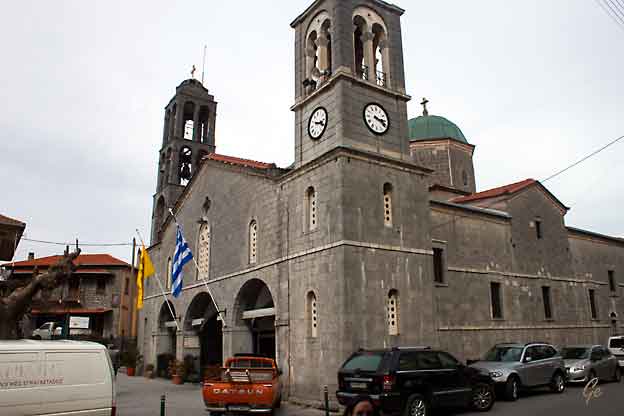
Saint Trifon Orthodox Church, Vytina, Arkadia
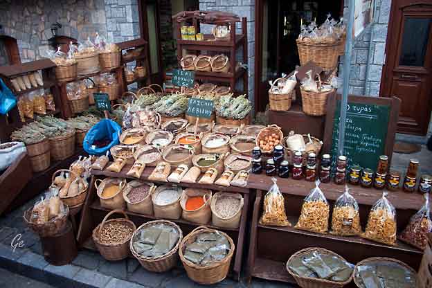
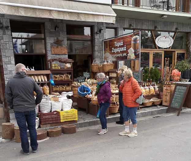
Mye fint krydder, og andre godsaker i denne butikken
| Torsdag 21. mars 2019 Programmet: Vi skal snakke om gresk mat. Vi fikk demonstrert noen retter, og den som ville kunne prøve seg som "kokk". |
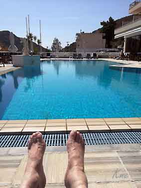 Litt ferie ble det også tid til. |
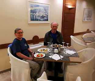 Lunsj på hotellet, med blant annet den maten vi hadde vært med å lage. |
 Her demonstres gresk kokekunst. |
 |
Siden
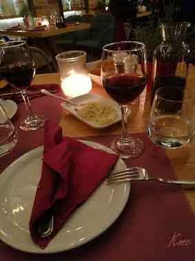
vi spiste lunsj på hotellet, ble det middag i byen. God mat og drikke på Marias restaurant |
| Fredag 22. mars 2019 Turen går til Leonidas Sparta og ruinbyen Mistra. |
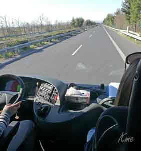 Ganske langt å kjøre til Mistras og Sparta. |
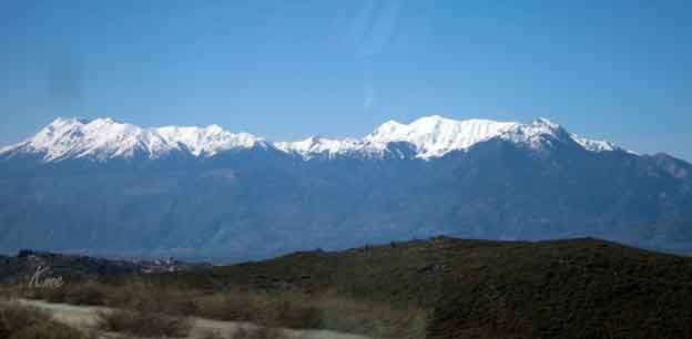
Fortsatt skiføre på Peloponnes.
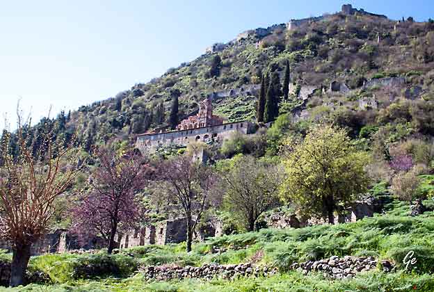
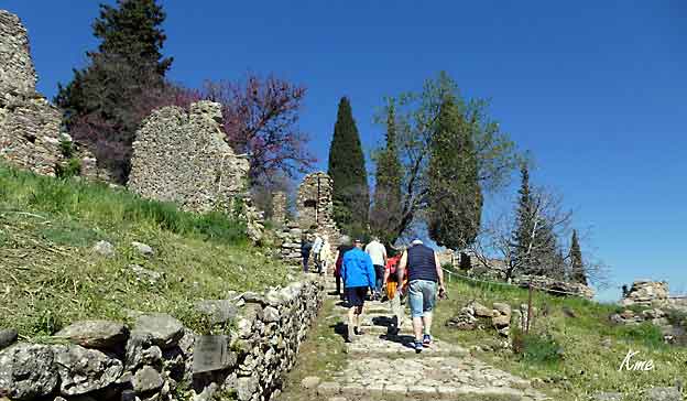
På slutten av 1248 ble Monemvasia i Lakonia erobret av Vilhelm II av Villehardouin (eller (Guillaume de Villehardouin), hersker av fyrstedømmet
Akhaia, som da var den siste gjenværende bysantinske utposten i Morea.
Denne suksessen ble snart fulgt av underkastelsen av den hardnakkete stammen tsakonerne i Parnonasfjellet,
 |
 |
Manihalvøya, således utvidet sitt herredømme over alle i Lakonia og fullførte
erobringen av halvøya som begynte i 1205 i kjølvannet av fjerde korstog.
Lakonia ble lagt inn under fyrstedømmet, og den unge fyrsten tilbrakte
vinteren 1248–1249 der, reiste rundt i landet og valgte ut steder for å bli
befestet, som Grand Magne og Leuktron; og til sist bygde han festningen
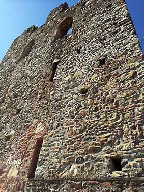
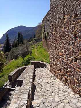
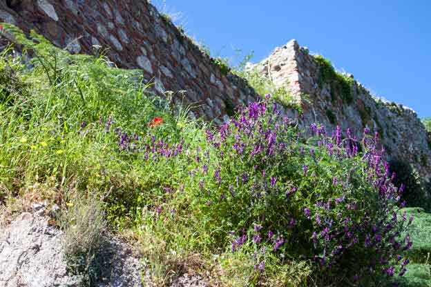
som fikk navnet Mystras, nær hans residens Lakedaemon (antikkens Sparta),
på en utstikker fra Taygetosfjellet.
https://no.wikipedia.org/wiki/Mystras
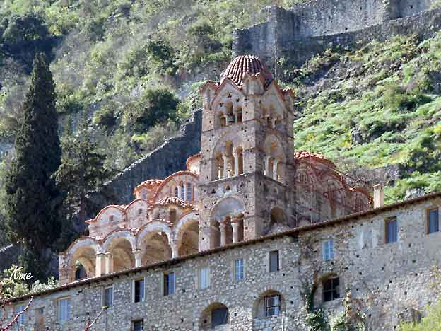
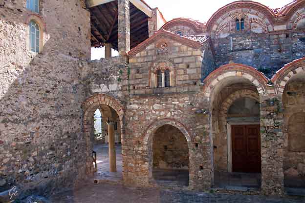
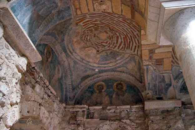
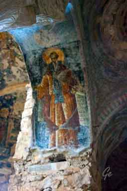
The
Church of Hagios Demetrios, the earliest of
the surviving churches of
Mystras, is the metropolitan church built in the
second half of the 13th
century as a wooden-roofed basilica.
The
metropolitan was erected by the metropolitan
Eugenios (1262–72),
who is depicted in the diakonikon, where his
tomb was also discovered.
To his successor Theodosios (1272–83?) are due a
large portion of the wall
paintings decorating the church. Theodosios, who
subscribed to a
policy of reconciliation with the papacy as promoted
by Emperor
Michael VIII Palaiologos, was represented kneeling
in prayer at the feet of
the Virgin in the conch of the sanctuary apse.
However, his image was
intentionally scraped off in an act of damnatio
memoriae by one of his
successors, probably Nikephoros Moschopoulos
(1288?–1315), who was a
follower of Andronikos II’s policy against
reconciliation. In the inscriptions
he had carved in the church Moschopoulos promoted
himself as the church’s
founder. During his tenure the Metropolis
flourished. It had a library and
most likely a scriptorium for copying manuscripts.
He himself completed
the painted decoration of the church, with, among
others, figures of the
apostles in the south aisle in the heavy or cubist
manner of the end of the
thirteenth century.
https://www.thebyzantinelegacy.com/metropolis-mystras
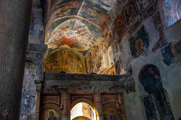
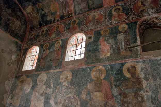
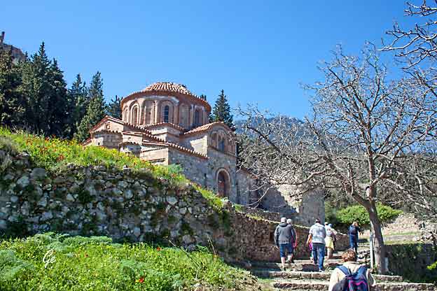
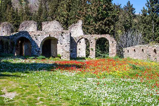
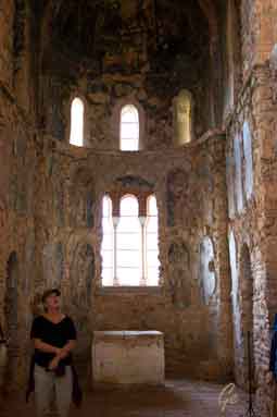
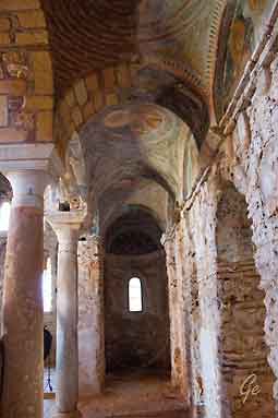
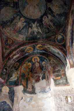
The Church of Agioi Theodoroi in Mystras Peloponnese: The Church of Agioi
Theodoroi is the oldest and largest chapel in Mystras. It is located in Kato
Hora, the lowest part of Mystras Old Town. The church was constructed
between 1290-1295 by the monks Daniel and Pahomios. Originally, it was
the katholikon of a monastery and then it became a cemetery church.
Source:
www.greeka.com
 |
 |
 |
 |
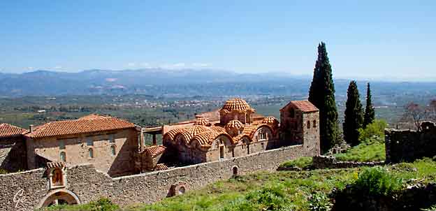
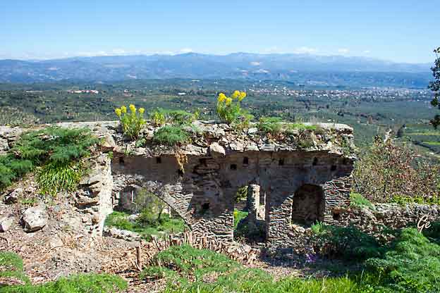
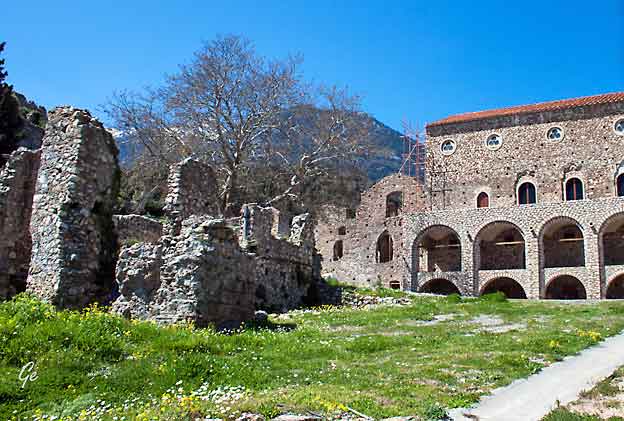
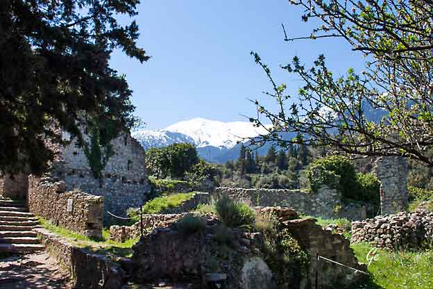
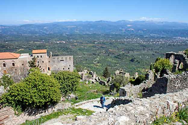
Palasset i Mistra.
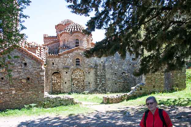
The Byzantine church of Agia Sophia dates from the mid-14th century.
It has nice wall paintings and it is made of stone.
Source: www.greeka.com
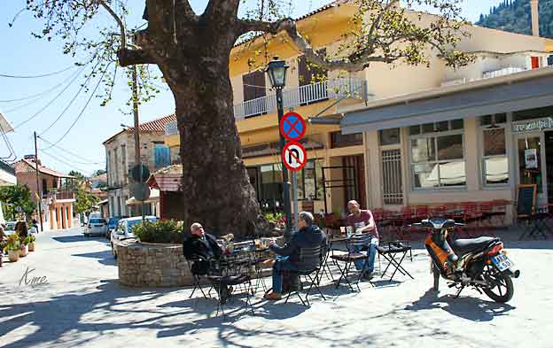
Nye Mistra
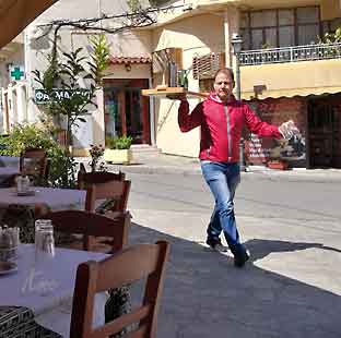 Lunsj i nye Mistra på Mystras Inn |
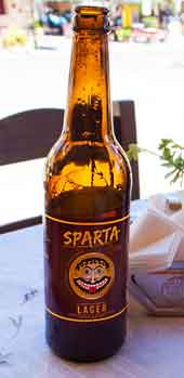 |
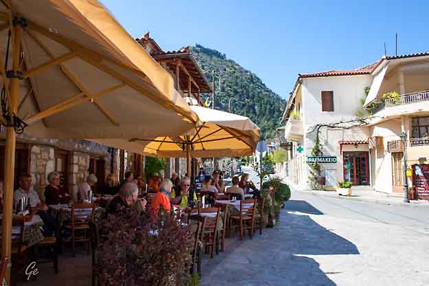
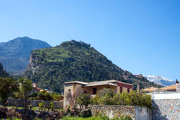
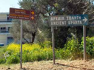 Nye Sparta er en moderne by. Vi var mer interessert i det gamle Sparta. |
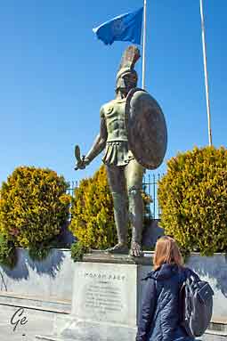 |
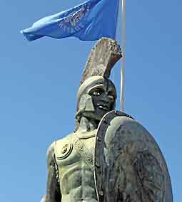 |
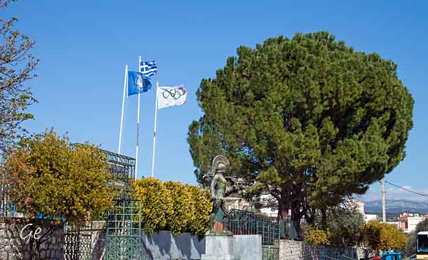
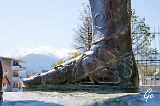 En feil på skulpturen: spartanerne gikk barbeinte. |
to its main settlement on the banks of the Eurotas River in Laconia, in south-eastern Peloponnese. Around 650 BC, it rose to become the dominant
military land-power in ancient Greece.
Given its military pre-eminence, Sparta was recognized as the leading force
of the unified Greek military during the Greco-Persian Wars. Between
431 and 404 BC, Sparta was the principal enemy of Athens during the
Peloponnesian War, from which it emerged victorious, though at a great
cost of lives lost. Sparta's defeat by Thebes in the Battle of Leuctra in 371 BC
ended Sparta's prominent role in Greece.
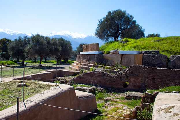
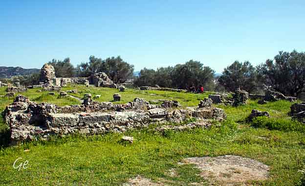
However, it maintained its political independence until the Roman conquest of
Greece in 146 BC. It then underwent a long period of decline, especially in the
Middle Ages, when many Spartans moved to live in Mystras. Modern
Sparta is the capital of the Greek regional unit of Laconia and a center for the
processing of goods such as citrus and olives.
https://en.wikipedia.org/wiki/Sparta
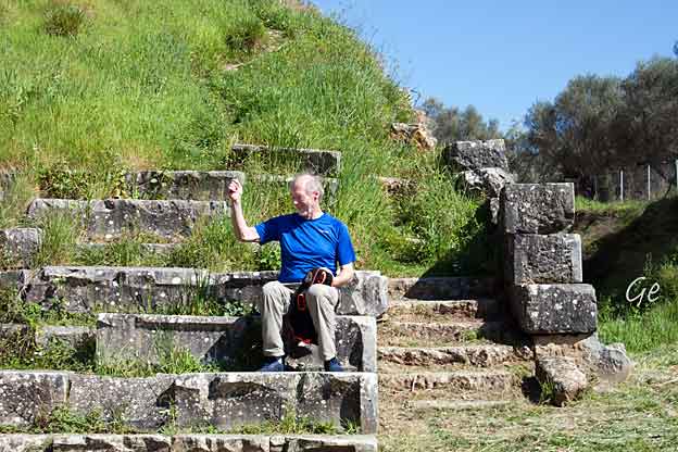
Karl Martin som tilskuer på Sparta Amfi
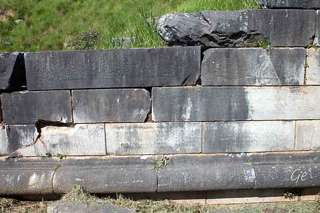
Det er ikke lett å se på bildet,
men stenen har tett med inskripsjoner.
 |
 |
 |
Noen
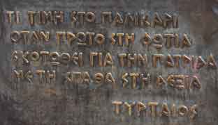
visdomsord fra Sparta |
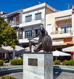 |
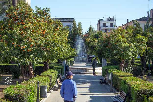
 Torget i nye Sparta |
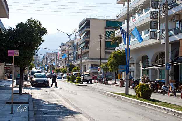
Hovedgate i nye Sparta.
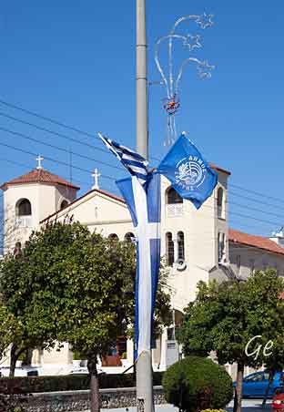
| Kirke
i nye Sparta |
 |
| Lørdag 23. mars 2019 Programmet: Mulighet for å besøke øyene Hydra og Spetses med båt. |
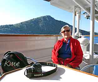 Grete slapper av ombord |
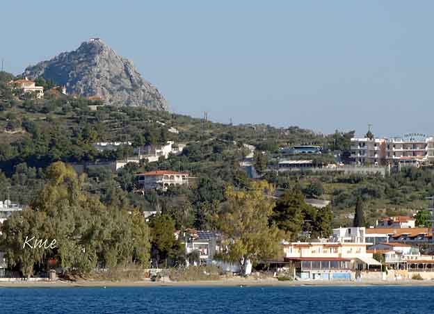
Kirken Profeten Elias på fjelltoppen sees overalt.
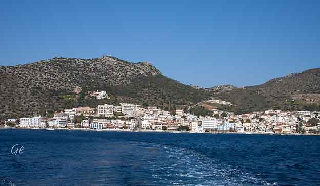
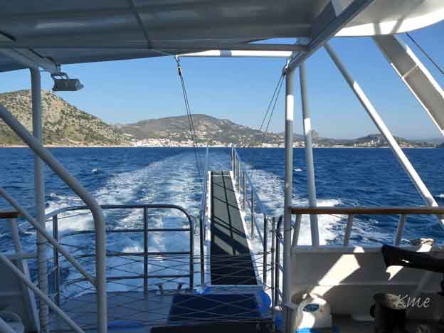
Vi forlater Tolo
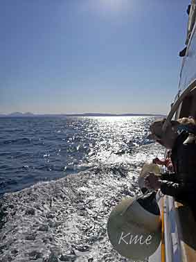 |
Til
høyre: Vi passerer Porto Heli Porto Heli is one of the most famous and luxurious holiday destinations in Greece, as this cosmopolitan spot in the Peloponnese features beautiful beaches and a breathtaking Mediterranean landscape, attracting the wealthiest of visitors each summer.Porto Heli is located on the “Greek Riviera” on the north-eastern Peloponnese coast, which is a three-hour ferry ride from Athens, or 25 minutes by helicopter. https://greekcitytimes.com/2018/08/18/why- the-wealthy-head-to-porto-heli-every-summer/ |
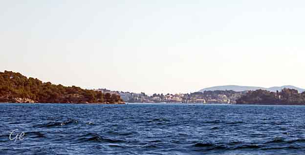
Porto Heli
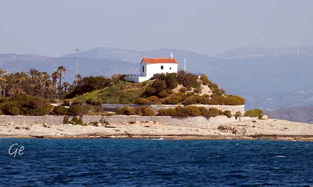
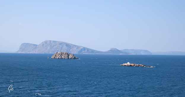
Til venstre og over: Små kirker på små øyer
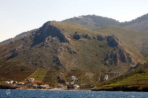
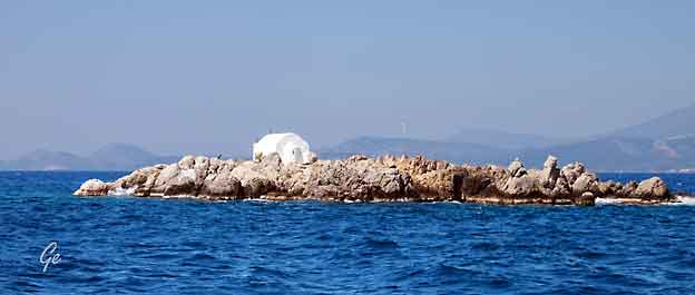
Nærbilde av kirken på bilde over.
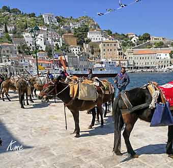 |
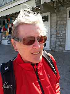 Grete med vind i håret. |
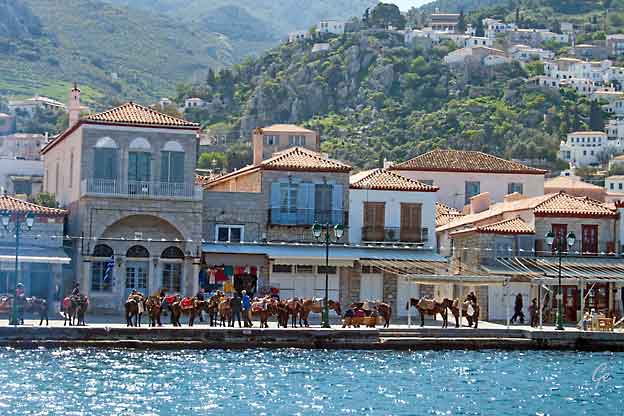
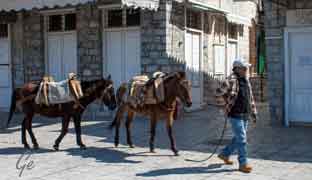
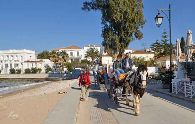
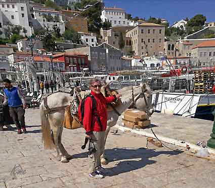 Hele øya er bilfri. Hester, muldyr og esler står for transporten. |
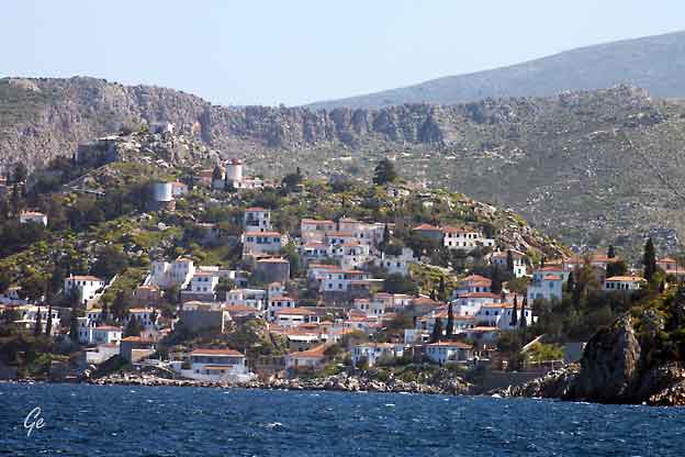
Hydra (Greek: Ύδρα,
pronounced [ˈiðra] in modern Greek) is one of the Saronic Islands of Greece, located in the Aegean Sea between the Saronic Gulf and the Argolic Gulf. It is separated from the Peloponnese by a narrow strip of water. In ancient times, the island was known as Hydrea (῾Υδρέα, derived from the Greek word for "water"), a reference to the natural springs on the island. |
uninhabited islets, total area 64.443 km2 (24.9 sq mi).
The province of Hydra (Greek: Επαρχία Ύδρας) was one of the provinces of the Piraeus Prefecture. Its territory corresponded with that of the
current municipality. It was abolished in 2006.
There is one main town, known simply as "Hydra port" (pop. 1,900 in 2011). It consists of a crescent-shaped harbor, around which is centered a strand of
restaurants, shops, markets, and galleries that cater to tourists and locals (Hydriots). Steep stone streets lead up and outward from the harbor area.
Most of the local residences, as well as the hostelries on the island, are located on these streets.
Other small villages or hamlets on the island include Mandraki (pop. 11), Kamini, Vlychos (19), Palamidas, Episkopi, and Molos.
https://en.wikipedia.org/wiki/Hydra_(island)
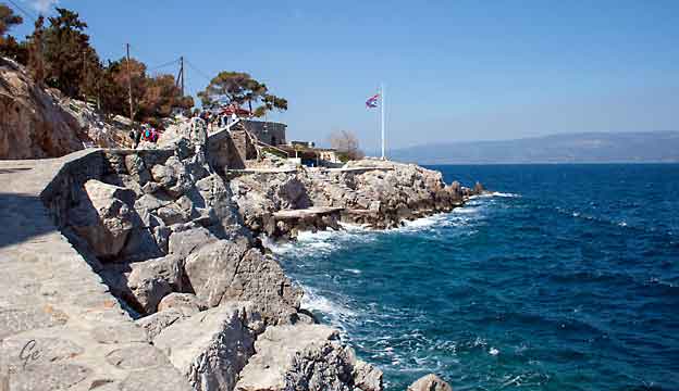
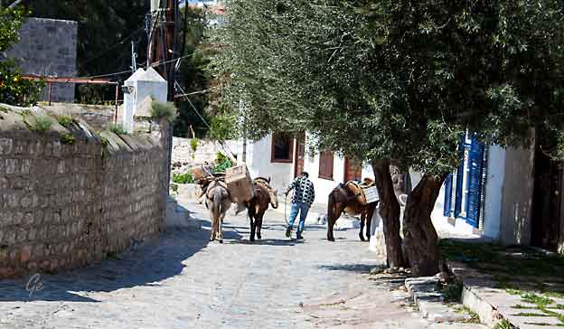
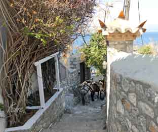 |
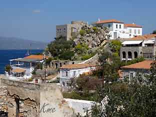 |
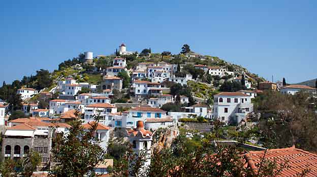
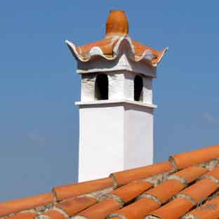 Typisk pipe |
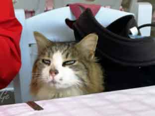 |
Der hadde vi selskap av 10-12 katter.
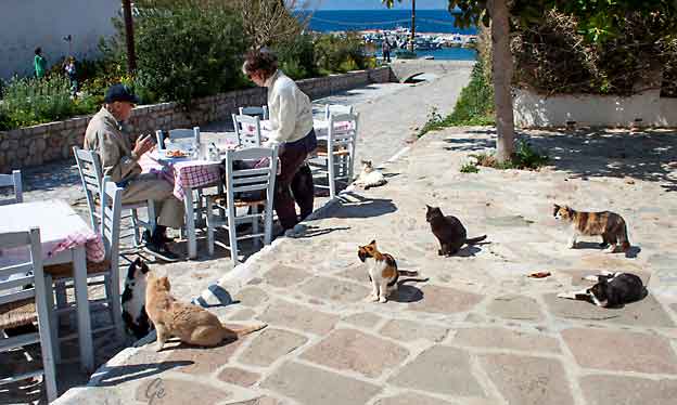
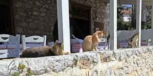 Katter på restaurant |
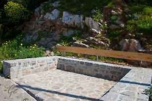 |
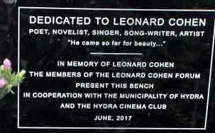 Leonard Cohens benk til venstre. |
 |
memorial on Hydra. After lengthy discussions with the island's administration,
a bench was built on the Hydra to Kamini coast road. Sadly, the bench was a compromise between what was wanted by the forum and the building regulations imposed. Personally I think Leonard would have arched an eyebrow and then
written a 'funny' song about it! I suspect he would agree with my opinion that his bench can all-to-easily be mistaken for a wheelie ban parking bay.
Leonard Cohen - The Hydra Connection (hydradirect.com) (10. mars 2022)
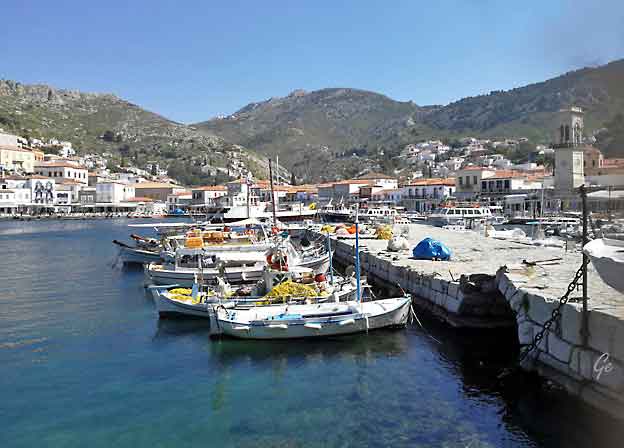
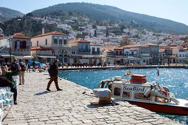
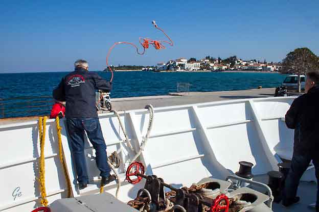
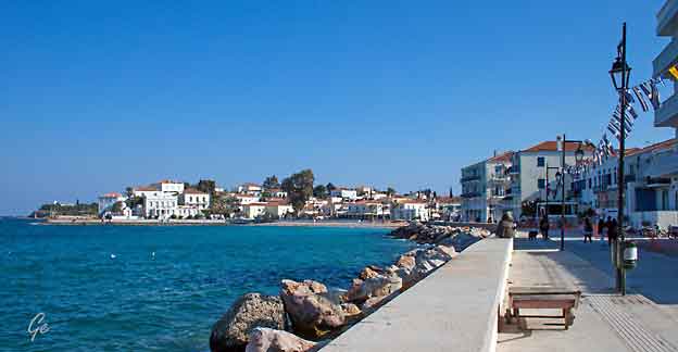
The picturesque old harbour and Dápia, a tourist and commercial centre where
the heart of the island’s entertainment beats, are the trademarks of the town of Spetses. Take a romantic trip around the island in horse-drawn carriages and
admire the grand mansions adorning the narrow cobbled streets of the island.
You can visit Spetses during September, when “Armata”, a truly impressive re-enactment of a naval battle takes place ever since 1931. If you are a sports lover,
you definitely don't want to miss the unique athletic events organised every year
in April "Spetsathlon" and October "Spetses Mini Marathon", where thousands
of participants take place. Spetsathlon, the biggest triathlon in Greece, receives
athletes from every corner of Greece and the world who enjoy the Swimming,
Biking and Running races. On the other hand, Spetses Mini Marathon gathers
athletes and visitors that enjoy running and swimming races for the young at
heart!
http://www.visitgreece.gr/en/greek_islands/spetses
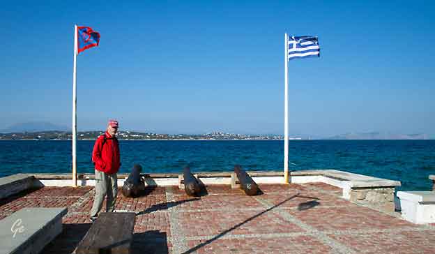
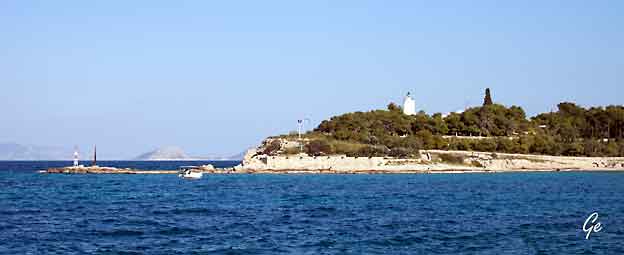
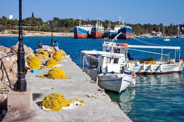
Fyrtårnet på Spetses ble først bygget i 1835, gjennoppbygd i 1885.
Tårnet er 11,5 meter høyt.
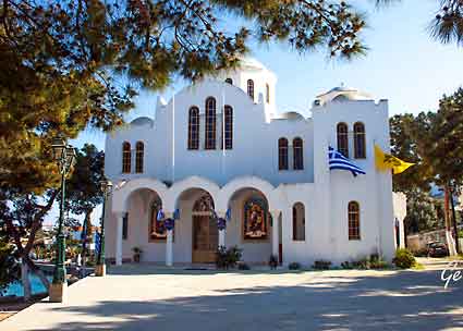
| Kirke
på Spetses |
 |
"Fridag"
Vi tok bussen inn til Nafplio.
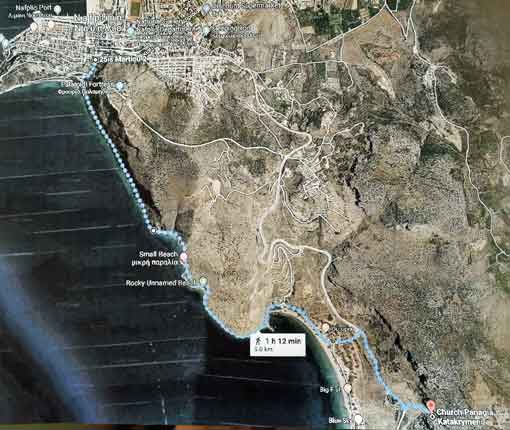
Grete ville til den godt gjemte kirken.
Karl Martin gikk et stykke langs kyststien,
og så inn til byen.
Ettermiddagen var vi i byen begge to.
n
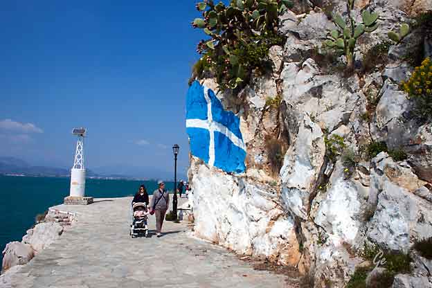
Kyststi i Nafplio
Stor rasfare
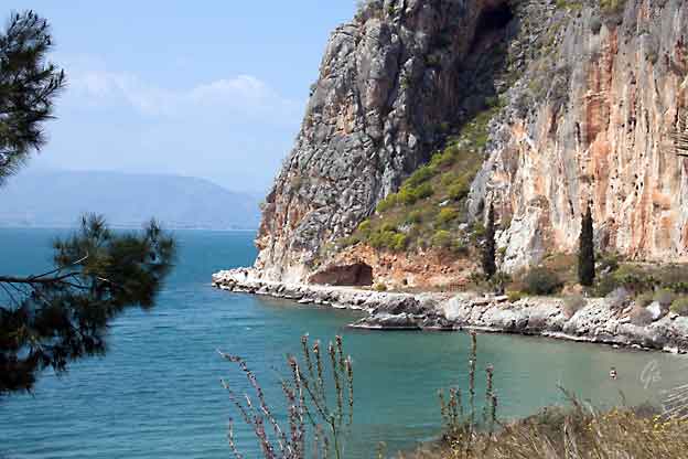
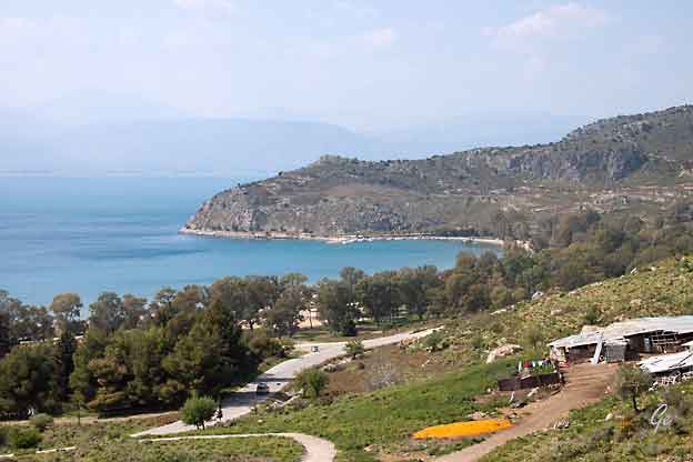
Fra den fine bukta på bildet til høyre gikk
jeg litt oppover langs veien.
Da kom jeg først til den nesten skjulte kirken.
Den var for anledningen voktet av tre store, løse hunder,
så jeg gikk ikke bort til den kirken.
Litt lenger oppe i veien sto et skilt som viste til den godt
gjemte kirken, som er en del av fjellveggen.
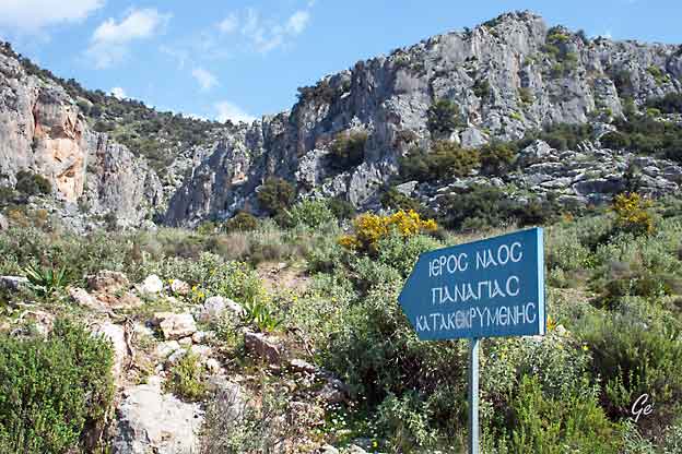
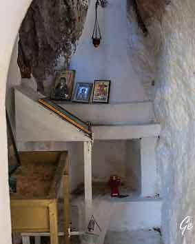
Church Panagia Katakrymeni
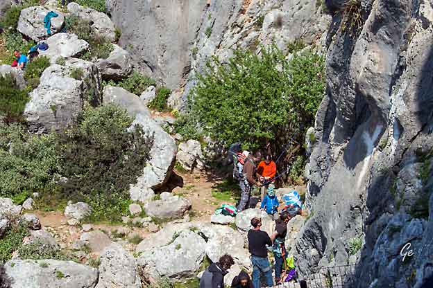
Hele familien på klatretur
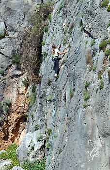 Ung jente i fjellveggen ved kirken. |
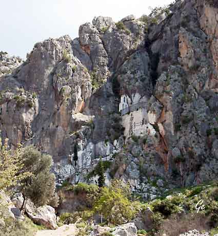 Church Panagia Katakrymeni |
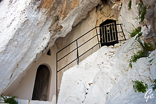 Church Panagia Katakrymeni Εκκλησία Παναγιά Κατακρυμένη |
 |
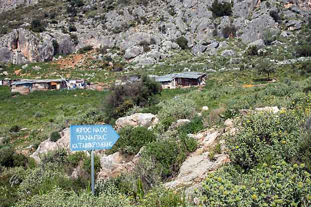
Enkel bondegård like ved kirken.
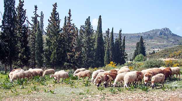
Bondens saueflokk
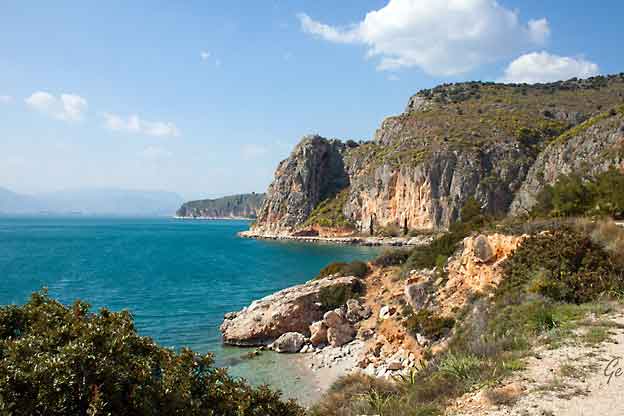
Kyststien tilbake til Nafplio
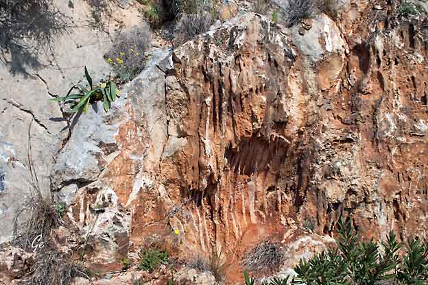
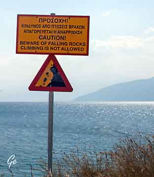 Rasfaren er stor, men hvem bryr seg om det? |
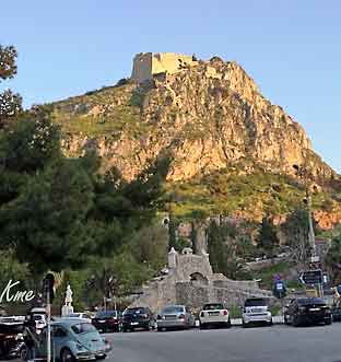 Tilbake i Nafplio og Palamidi-borgen. |
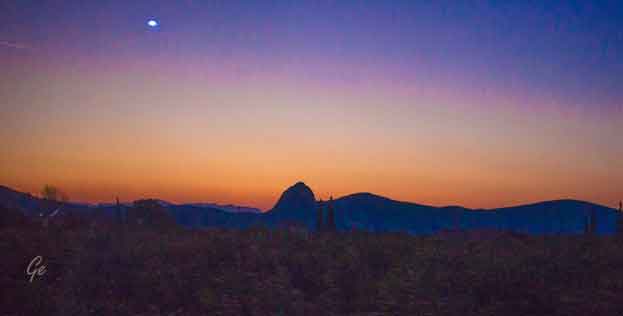
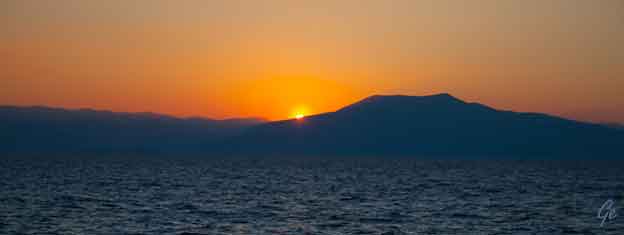
Fin solnedgang på veien tilbake til Tolo.
På toppen av det høyeste fjellet ligger kirken Profeten Elias.
Vandretur til Drepano for å feire nasjonaldagen.
Greek Independence Day, national holiday celebrated annually in Greece on
March 25, commemorating the start of the War of Greek Independence in 1821.
It coincides with the Greek Orthodox Church’s celebration of the Annunciation
to the Theotokos, when the Archangel Gabrielappeared to Mary and told her
that she would bear the son of God.
Greece had been part of the Ottoman Empire since 1453. The Greek revolt was precipitated on March 25, 1821, when Bishop Germanos of Patras raised the
flag of revolution over the Monastery of Agia Lavra in the Peloponnese.
The cry “Freedom or death” became the motto of the revolution. The Greeks experienced early successes on the battlefield, including the capture of Athens
in June 1822, but infighting ensued. By 1827 Athens and most of the Greek
isles had been recaptured by the Turks.
Just as the revolution appeared to be on the verge of failure, Great Britain,
France, and Russia intervened in the conflict. The Greek struggle had elicited
strong sympathy in Europe, and many leading intellectuals had promoted
the Greek cause, including the English poet Lord Byron.
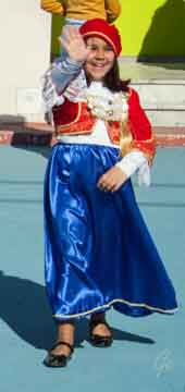 |
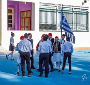 Elevene er klar til å gå i paraden. |
forces destroyedan Ottoman-Egyptian fleet. The revolution ended in 1829
when the Treaty of Edirne established an independent Greek state.
In celebration of Greek Independence Day, towns and villages throughout
Greece hold a school flag parade, during which schoolchildren march in
traditional Greek costume and carry Greek flags.
There is also an armed forces parade in Athens.
https://www.britannica.com/topic/Greek-Independence-Day
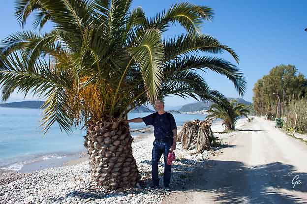
Vi gikk til byen Drepano for å se paraden der.
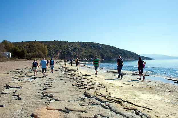
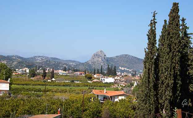
På veien ser vi igjen kirken Profeten Elias.
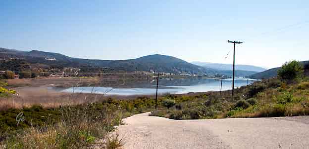
Limni Drepano is next to Vivári and is located in Peloponnese,
Greece. Limni Drepano has a length of 3.33 kilometres.
http://gr.geoview.info/limni_drepano,9508145w
Hele området er naturvernområde
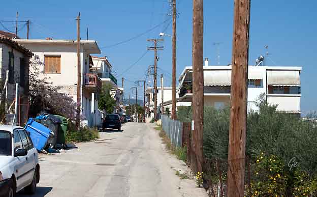
Gata inn til Drepano
| Vi
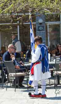
gikk til Drepano for å se skoleparaden på nasjonaldagen, men hadde fått oppgitt feil tidspunkt. Vi trodde paraden skulle begynne kl 11, men den var ferdig 11, akkurat da vi kom fra til torget i byen. Men etter paraden var det danseoppvisning av greske folkedanser. Det fikk vi heldigvis med oss. |
 |
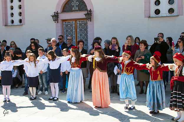
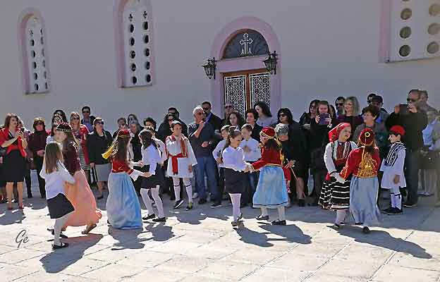
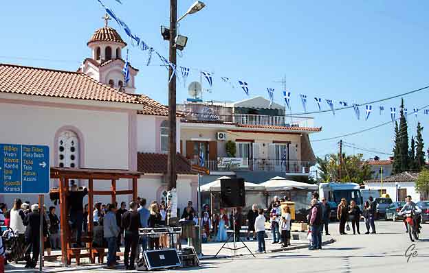
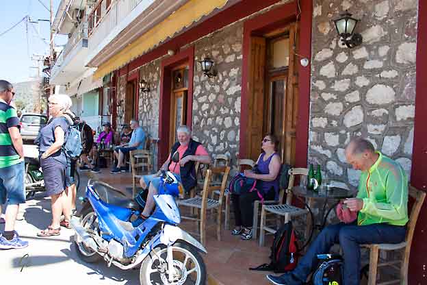
Etter dansen fikk vi noen forfriskninger på den lokale baren.
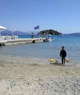 |
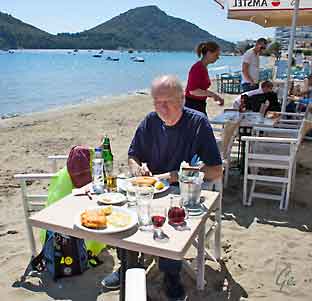 |
Der spiste vi lunsj på stranda.
I Hellas spiser de stekt klippfisk på nasjonaldagen, så vi valgte det vi også
The traditional food on Greek Independence Day and Annunciation
Day is Bakaliaros Skordalia. Bakaliaros Skordalia is a delicious
batter-fried cod served with a mashed potato garlic dip made with
olive oil.
The sensational platter of Bakaliaros Skordalia has an interesting history with
a mixture of trade and religious factors. The 25th of March always falls in the
period of Lent. The food during this Greek Orthodox fasting period is limited.
No meat, no fish, no dairy products, sometimes not even olive oil are allowed.
Sunday people are allowed to consume fish. People living near the sea ate fresh
fish on these days but people in mountain areas could not, they had no
refrigeration in the past and fresh fish was not available. When salted cod was
imported, this problem was solved. Not only for lent but for other days too.
Salted cod is a cheap alternative to fresh fish, very nutritious and could be
preserved for a long time. The ease of transport, to preserve and the low
price made it a very popular food.
http://www.foodaroundathens.com/blog/greek-independance-day-25-march-for-foodies/
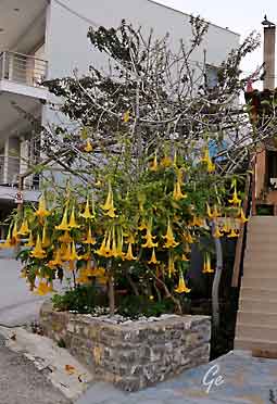 |
Brugmansia is
a genus of seven species of flowering plants in the family Solanaceae. Their large, fragrant flowers give them their common name of angel's trumpets. Brugmansia species are amongst the most toxic of ornamental plants, containing as they do tropane alkaloids of the type responsible also for the toxicity of the infamous deadly nightshade. https://en.wikipedia.org/wiki/Brugmansia Engletrompet er en giftig plante, og hele planten inneholder giftstoffer. Innholdet av de forskjellige giftstoffene varierer for de ulike plantene i slekten, etter sesongvariasjoner og plantens alder. Noen plantedeler inneholder også mer giftigstoffer enn andre deler av planten. https://helsenorge.no/Giftinformasjon/planter-og- bar/engletrompet |
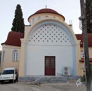 Ortodox Church of Tolo |
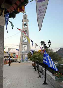 |
Utflukt til Epidaurus.
Etterpå besøk hos en lokal olivenprodusent.
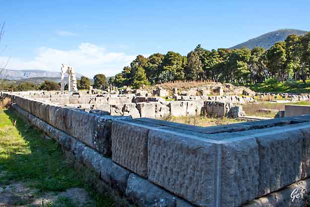
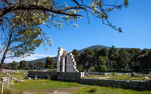
Healthcare represented a primary concern for people of the ancient world,
just as it still does today, but until the 6th and 5th centuries BC healing was rooted mostly in religion and magic. When people became ill or suffered injuries, they did
not visit hospitals or clinics, but often sought out treatment and comfort from
priests, offered sacrifices and prayers to certain gods, or consulted learned practitioners who might prescribe the use of medicinal herbs or the following of
other, sometimes more mysterious, traditional rituals.
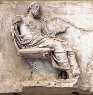
With the emergence of the divine healer Asclepius, first mentioned in the
7th/6th c. BC texts of Homer and Hesiod, the infirm found a new champion, a
figure usually depicted as bearded, mature and fatherly, like Zeus, and highly knowledgeable in medicine – like his own reported father Apollo – but more
ordinarily human, moreapproachable and seemingly more genuinely concerned
with the human condition. He usually carried a staff or walking stick and kept
around him a snake and a dog as companions or sacred symbols.
http://www.greece-is.com/snakes-dogs-and-dreams/
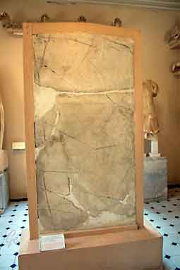 Regnskapstavler for helsesentret |
 The divine healer Asclepius |
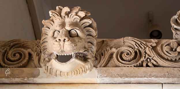
 |
 |
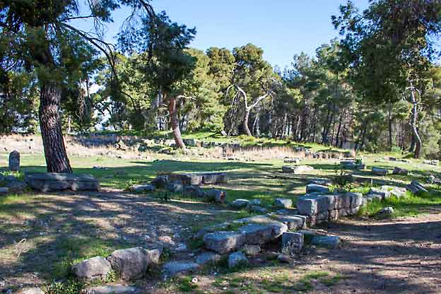
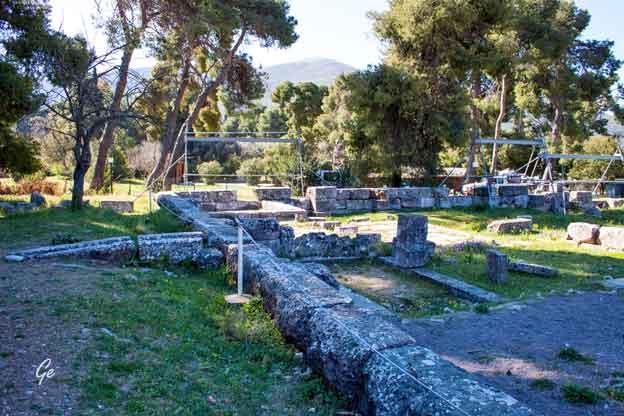
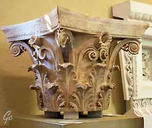
Sanctuaries of Asclepius shared many common characteristics.
In addition to Asclepius, other health-related deities were also regularly
worshiped in or near these places, including his father Apollo; his “aunt”
Artemis, his sons Machaon and Podalirius; and his daughter Hygieia — the personification of health, cleanliness and hygiene. The 2nd c. AD traveler
Pausanias records that, as a child, Asclepius was nurtured by a goat and
protected by a dog — thus explaining why no goat sacrifices were allowed at Epidaurus, but dogs were a common sight generally in Asclepieia.
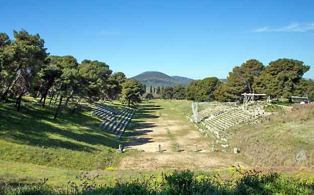
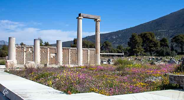
Besides altars and temples, another distinctive, colonnaded building of central importance (the Abaton) was provided, in which patients arriving at the
sanctuary would undergo enkoimesis (incubation), spending the night there
and waiting for the god to come to them in their dreams with a proposed
course of therapy. At the exemplary site of Epidaurus, visitors also had
access to bath complexes, a large dormitory-like hostel (Katagogion),
ceremonial dining rooms, a stadium, a palaestra, a large gymnasium
and a theater that would eventually seat more than 12,000 spectators.
http://www.greece-is.com/snakes-dogs-and-dreams/
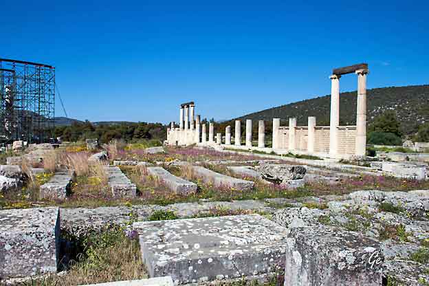
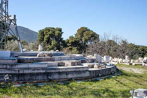
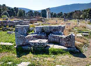 |
 |
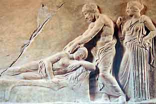 |
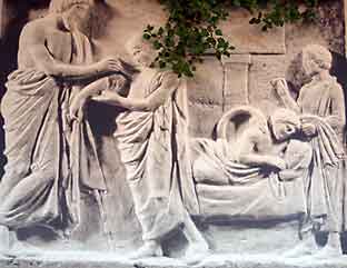
Asclepius, bending forward and
extending his arms as he offers therapy to a woman lying on a couch. Behind him is Hygieia, goddess of health, while, opposite, the patient’s relatives plead for her recovery. A votive relief of Classical date, from the Asclepieion in Piraeus (Piraeus Archaeological Museum). http://www.greece-is.com/snakes-dogs-and-dreams/ |
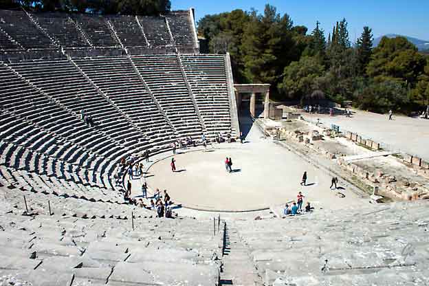
According to Pausanias, the ancient theatre was constructed by the architect Polykleitos the Younger. Pausanias praises the theatre for its symmetry
and beauty. At a maximum capacity of 13,000 to 14,000 spectators, the theatre
hosted music, singing and dramatic games that were included in the worship of Asclepius. It was also used as a means to heal patients, since there was a belief
that the observation of dramatic shows had positive effects on mental and p
hysical health.
Today, the monument attracts a large number of Greek and foreign visitors and
is used for the performance of ancient drama plays. The first modern performance conducted at the theatre was Sophocles's tragedy Electra. It was played in 1938, directed by Dimitris Rontiris, starring Katina Paxinou and Eleni Papadaki
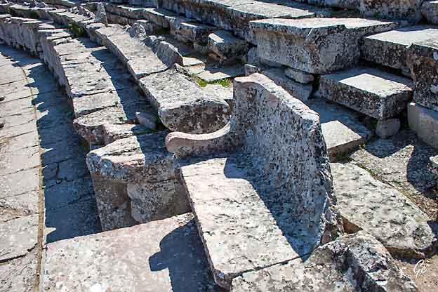
The circular orchestra, with a diameter of 20 m, constitutes the centre of the theatre.
In the centre is a circular stone plate, the base of the altar or thymeli. The orchestra is surrounded by a special underground drainage pipeline of 1.99 m width, called the
euripos. The euripos was covered by a circular stone walkway.
Opposite the auditorium and behind the orchestra develops the stage building of
the theatre. The format of the scene (which is partly preserved today) is dated up
to the Hellenistic period and consisted of a two-storey stage building and a
proscenium in front of the stage. There was a colonnade in front of the proscenium
and on both of its sides, the two backstages slightly protruded. East and west of
the two backstages there were two small rectangular rooms for the needs of the
performers. Two ramps lead to the roof of the proscenium, the logeion, where the
actors later played. Finally, the theatre had two gates, which are now restored.
https://en.wikipedia.org/wiki/Ancient_Theatre_of_Epidaurus
| Vi var
også innom et keramikkutsalg som hadde mange fine ting. Bilde fra: http://xipolias.gr/en/our-company/ |
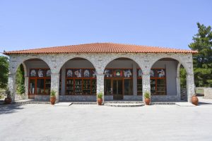 |
Since 1974 we create ceramics in ancient patterns, based on Greek mythology.
Ally with the proper infrastructure, high quality materials and state of the art
practices, we are passionate to produce ceramics and potteries for decoration
but also for everyday use.
You are welcome to visit our showroom and explore the great variety and the
art of Greece in our hand made products. Keep alive your Greek memories in
one ceramic!
http://xipolias.gr/en/our-company/
t
|
Just 90 minutes from Athens, near the ancient theatre of Epidaurus in Ligourio and within a vast olive grove, are situated the modern facilities of "lMelas Olive Oil Domain – Gaea of Epidaurus". Visit and enjoy a carefree stroll among nature along with a visit with tour in the olive oil factory facilities. In the MELAS
estate one can take a walk through the organic
olive grove at times and seasons and been shown
the cultivation activities of olive trees and
harvest of the fruit of the olive. |
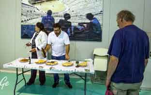 Etter omvisningen ble vi servert brød med olivenolje. Melas 2022 new page - Melas Olive Oil (melasoil.gr) |
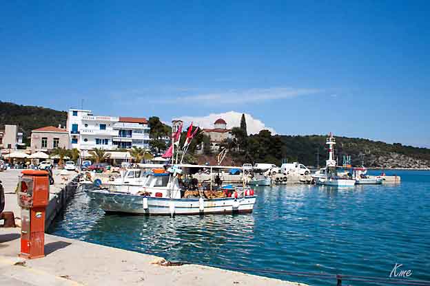
Epidaurus havneby
| Onsdag
27. mars 2019 Turen går til Mykene og den berømte løveporten. |
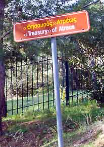 |
The Treasury of Atreus or Tomb of Agamemnon is a large tholos or beehive tomb on Panagitsa Hill at Mycenae, Greece, constructed during the Bronze Age
around 1250 BC. The lintel stone above the doorway weighs 120 tons, with approximate dimensions 8.3 x 5.2 x 1.2m, the largest in the world. The tomb was
used for an unknown period. Mentioned by Pausanias, it was still visible in 1879
when the German archeologist Heinrich Schliemann discovered the shaft graves
under the 'agora' in the Acropolis at Mycenae. The tomb has probably no
relationship with either Atreus or Agamemnon, as archaeologists believe that the sovereign buried there ruled at an earlier date than the two; it was named thus
by Heinrich Schliemann and the name has been used ever since.
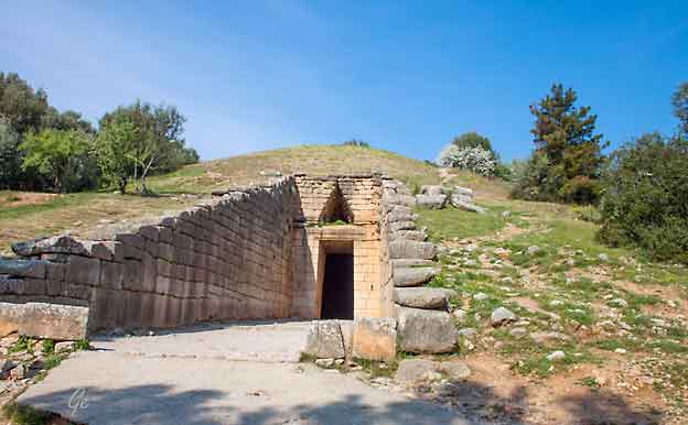
The tomb perhaps held the remains of the sovereign who completed the
reconstruction of the fortress or one of his successors.
The grave is in the style of the other tholoi of Mycenaean Greece, of which there
are nine in total around the citadel of Mycenae and many more in the Argolid.
However, in its monumental shape and grandeur it is one of the most impressive
monuments surviving from the Mycenaean period.
https://en.wikipedia.org/wiki/Treasury_of_Atreus
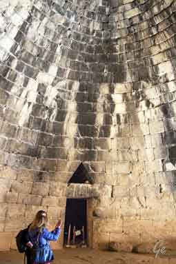 |
The tomb is excavated into the side of a hill. It is formed of a semi-subterranean room of circular plan, with a corbel arch covering that is ogival in section. With an interior height of 13.5m and a diameter of 14.5m, it was the tallest and widest dome in the world for over a thousand years until construction of the Temple of Mercury in Baiae and the Pantheon in Rome. https://en.wikipedia.org/wiki/Treasury_of_Atreus |
Mykene
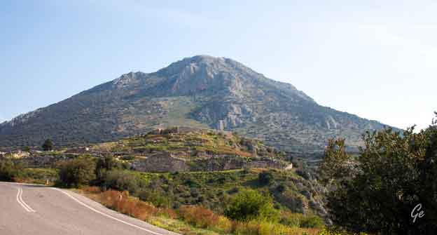
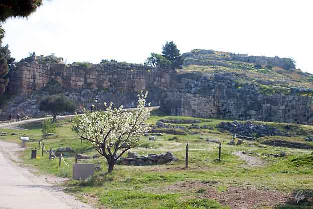
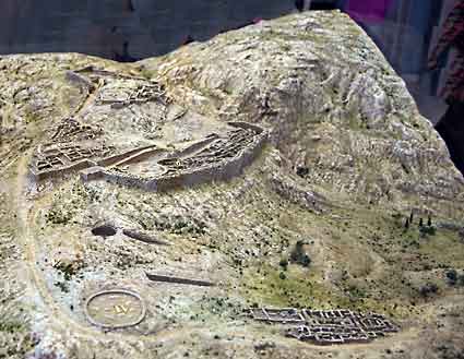
| Mycenae (Ancient
Greek: Μυκῆναι Mykēnai or Μυκήνη Mykēnē) is an archaeological site near Mykines in Argolis, north-eastern Peloponnese, Greece. It is located about 120 kilometres (75 miles) south-west of Athens; 11 kilometres (7 miles) north of Argos; and 48 kilometres (30 miles) south of Corinth. The site is 19 kilometres (12 miles) inland from |
 |
second millennium BC, Mycenae was one of the major centres of Greek
civilization, a military stronghold which dominated much of southern Greece,
Crete, the Cyclades and parts of southwest Anatolia. The period of Greek
history from about 1600 BC to about 1100 BC is called Mycenaean in reference
to Mycenae.
At its peak in 1350 BC, the citadel and lower town had a population of 30,000
and an area of 32 hectares.
The first correct identification of Mycenae in modern literature was during a
survey conducted by Francesco Grimani, commissioned by the Provveditore
Generale of the Kingdom of the Morea in 1700, who used Pausanias's
description of the Lion Gate to identify the ruins of Mycenae.
https://en.wikipedia.org/wiki/Mycenae
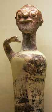 |
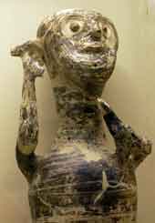 |
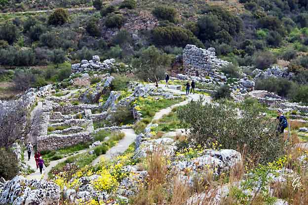
Mycenae, an acropolis site, was built on a hill 900 feet above sea level, some
19 kilometres (12 miles) inland from the Gulf of Argolis.
Situated in the north-east corner of the Argive plain, it easily overlooked the
whole area and was ideally positioned to be a centre of power, especially as it commanded all easy routes to the Isthmus of Corinth. Besides its strong
defensive and strategic position, it had good farmland and an adequate
water supply.
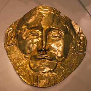 The death masks of Mycenae are a series of golden funerary masks found on buried bodies within a burial site titled Grave Circle A, located within the ancient Greek city of Mycenae. https://en.wikipedia.org/wiki/Death_ masks_of_Mycenae |
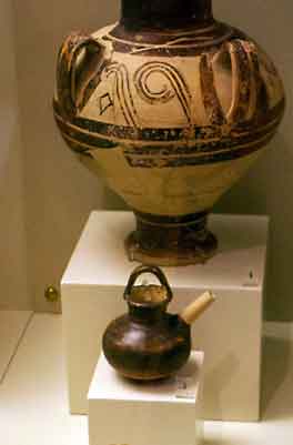 En liten tåteflaske fra Mykene |
continuously occupied from the Early Neolithic (EN; c. 5000–c. 4000 BC) through the Early Helladic (EH; c. 3200–c. 2000 BC) and Middle Helladic
(MH; c. 2000–c. 1550 BC) periods.
EN Rainbow Ware constitutes the earliest ceramic evidence discovered so far.
https://en.wikipedia.org/wiki/Mycenae
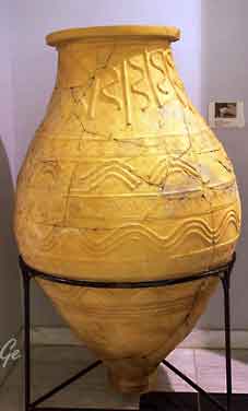 |
Pithos
burial from LH IIIC late ) 1100-1050 BCE). |
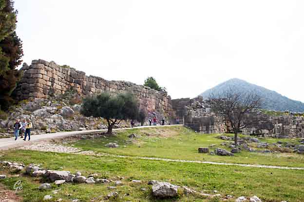
the Cyclopean walls on the northeast side of the Lion Gate.
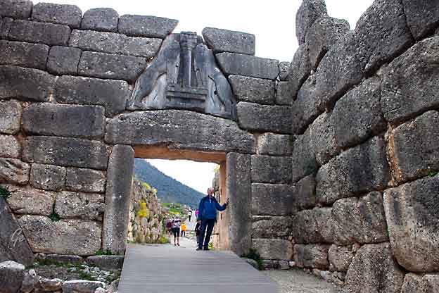
Karl Martin i Løveporten
southern Greece. It was erected during the 13th century BC, around 1250 BC
in the northwest side of the acropolis and is named after the relief sculpture
of two lionesses or lions in a heraldic pose that stands above the entrance.
The Lion Gate is the sole surviving monumental piece of Mycenaean sculpture,
as well as the largest sculpture in the prehistoric Aegean. It is the only
monument of Bronze Age Greece to bear an iconographic motif that survived
without being buried underground, and the only relief image which was
described in the literature of classical antiquity, such that it was well known
prior to modern archaeology.
The Lion Gate is a massive and imposing construction, standing 3.10 m (10 ft)
wide and 2.95 m (10 ft) high at the threshold. It narrows as it rises, measuring
2.78 m (9 ft) below the lintel. The opening was closed by a double door
mortised to a vertical beam that acted as a pivot around which the door
revolved.
The gate itself consists of two great monoliths capped with a huge lintel that
measures 4.5×2.0×0.8 m (15×7×3 ft). Above the lintel, the masonry courses
form a corbelled arch, leaving an opening that lightens the weight carried by
the lintel. This relieving triangle is a great limestone slab on which two confronted lionesses or lions carved in high relief stand on either sides of
a central pillar. The heads of the animals were fashioned separately and are
missing. The pillar, specifically, is a Minoan-type column that is placed on top
of an altar-like platform that the lionesses or lions rest their front legs on.
It has been suggested that lions were not present in Greece at the time showing
some sort of hierarchy in power with them fashioned on this monumental gate.
https://en.wikipedia.org/wiki/Lion_Gate
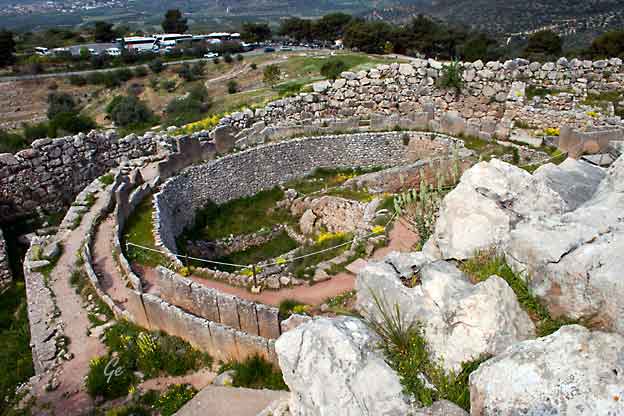
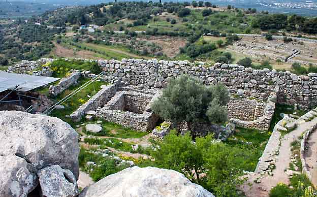
Grave Circle A is a 16th-century BC royal cemetery situated to the south
of the Lion Gate, the main entrance of the Bronze Age citadel of Mycenae
in southern Greece. This burial complex was initially constructed outside
the fortification walls of Mycenae, but was ultimately enclosed in the
acropolis when the fortifications were extended during
the 13th century BC. Grave Circle A and Grave Circle B, the latter
found outside the walls of Mycenae, represent one of the major
characteristics of the early phase of the Mycenaean civilization.
https://en.wikipedia.org/wiki/Grave_Circle_A,_Mycenae
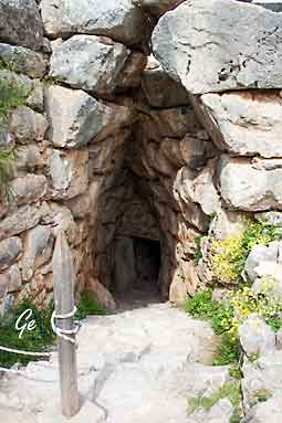 The underground cistern is an impressive engineering feat that allowed the citadel unlimited and secure water supply. |
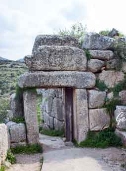 The Northern (Postern) Gate |
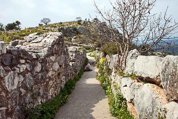
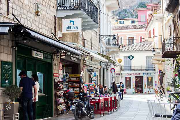
Etter vi hadde vært på Mykene, tok vi enda en tur til Napflio.
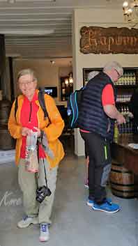
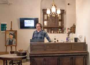 I Nafplio besøkte vi Karonis Destillery |
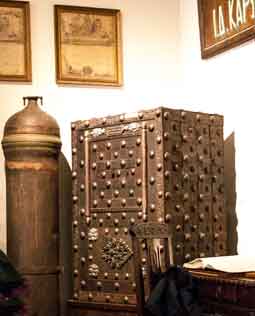 |
for the last 145 years, and is now run by Fotis and Yiannis Karonis (4th and 5th generations of the original establishers of the business).
The products made at Karonis are Ouzo, Tsipouro, and Masticha all distilled in
modern copper stills. At Karonis Distilleries we also produce distinguished cherry
extract (cherry liqueur) made with cherries from the Arcadia region.
All of our products are available in the Peloponnese and Attica.
 |
Det
ble både smaking og handling hos Karonis |
Torsdag 28. mars 2019
Hjemreise med Lufthansa via Frankfurt
 |
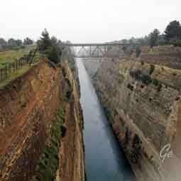 Vi stoppet ved Korintkanalen på tilbaketuren også. Dessverre regnet det like mye som ved det første besøke. |
Grete Emblemsvåg
