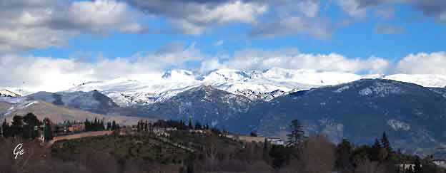
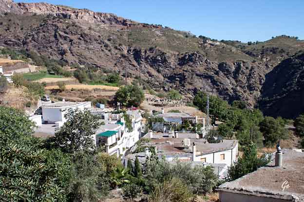
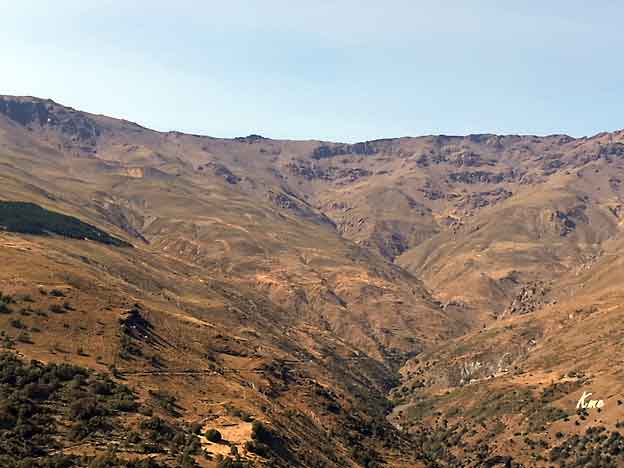
Bildet til venstre viser Sierra Nevada sånn som vi så fjellet i mars 2016.
Vi fikk lyst på et nærmere bekjentskap med området.
Så, i september året etter meldte vi oss på en vandretur i Sierra Nevada.
The Sierra Nevada (meaning "snowy mountain range" in Spanish) is a
mountain range in the region of Andalucia, in the province of Granada
and, a little further, Málaga and Almería in Spain.
It contains the highest point of continental Spain and Europe outside the
Caucasus Mountains and the Alps, Mulhacén at 3,478 metres (11,411 ft)
above sea level.
https://en.wikipedia.org/wiki/Sierra_Nevada_(Spain)
Fra programmet: Ankomst Malaga.
Turen til Alpujarras tar vel 2 timer
som gir god tid til å nyte det flotte landskapet.
Reiseleder vil fortelle nærmere om området
og uken som ligger foran oss.
Alpujarra er fortsatt en verden for seg selv med
en følelse av tidløshet, her går tiden litt saktere
og den moderne verden føles langt unna.
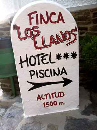
Vel installert på hotellet i Capileira som ligger
1.500 meter over havet, møtes vi til en
velkomstdrink før middag på hotellet.
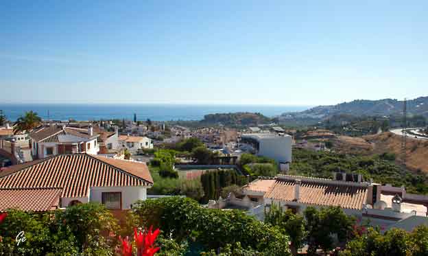
På bussturen fra Malaga til Capileira gjorde vi et stopp.
Det var fin utsikt både mot Middelhavet og opp mot fjellene
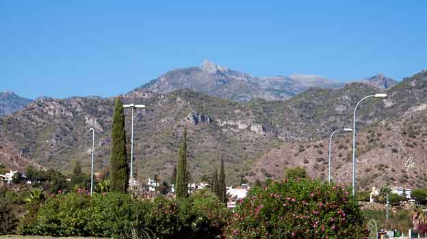
Fra rasten underveis til Capileira.
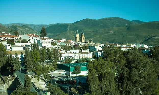
Vi kjørte gjennom byen Orgiva
 |
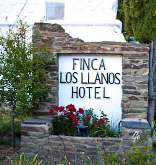 Finca los Llanos |
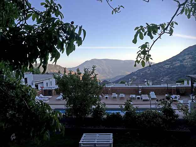
Bassenget sett fra baren.
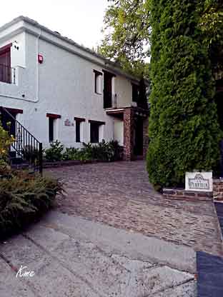 Hotellet ligger i en bakke, med inngang på flere plan. |
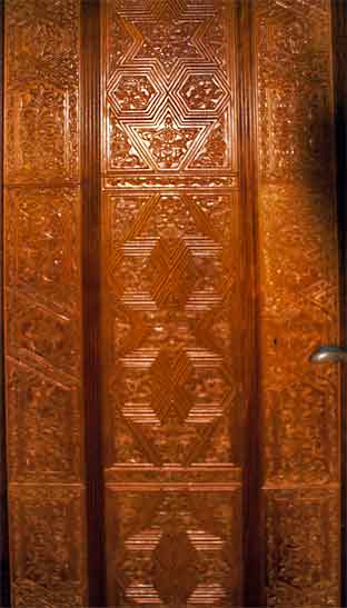 Flotte dører til rommene |
The Alpujarra is
a natural and historical
region in Andalusia,
Spain, on the south slopes of the Sierra
Nevada and the adjacent valley.
The average elevation is 1,200 metres
(4,000 ft) above sea level.
It extends over two
provinces, Granada and Almería; it is
sometimes referred
to in the plural as "Las Alpujarras". There are
several interpretations of this
Arabic name: the most convincing is that it derives
from al-basharāt(البَشَرَات),
meaning something like "sierra of pastures".
The administrative centre is Órgiva.
The Sierra Nevada runs
west-to-east for about 80 km. It includes the
two
highest mountains in mainland Spain: the Mulhacén at
3479 m. and the
Veleta, just a little lower. As the name implies, it
is covered with snow in
winter. The snow-melt in the spring and summer
allows the southern slopes
of the Sierra to remain green and fertile throughout
the year, despite the
heat of the summer sun. Water emerges from
innumerable springs;
human intervention has channeled it to terraced
plots and to the villages.
https://en.wikipedia.org/wiki/Alpujarras
Fra programmet: Vi starter ut for vår første følelse av La Alpujarras
fjell-landskap hvor vi i stedet for å gå fra hytte til hytte, skal gå fra
landsby til landsby i La Taha!
Vi besøker intet mindre enn 7 landsbyer på veien, landsbyer som fremstår
omtrent som uendret gjennom flere hundre år.
Mandeltrær, oliven, drueranker, appelsiner og sitroner er blant vekstene
vi kan se i dag, og gjett om det smaker med mat når vi bretter ut lunsjduken
og inntar dagens deilige picnic!
Etter lunsj forsetter vi vår vandring gjennom landsbyer og blir hentet med
buss for retur tilbake til hotellet.
Kanskje frister det med en svalende dukkert i hotellets basseng?
Middag inntas på en lokal restaurant i Capileira, et hus i typisk
Alpujassa 1700-talls stil.
Høyeste punkt 1550 moh,
total oppstigning 560 m. total nedstigning 900 m.
total distanse ca 18 km
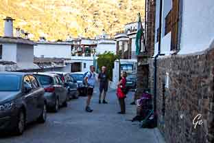 Utenfor resepsjonen, klare for ukas første tur. |
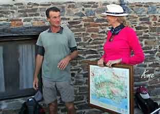 Lokalføreren George forteller oss hvor vi skal. Reiseleder fra Escape, Vera, passer på. |
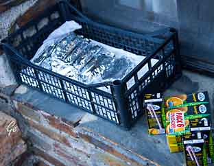 |
Hver
dag fikk vi med mye god niste. Noe fikk vi utdelt før avgang, men det meste bar guiden vår med seg. Her calzone og juice. |
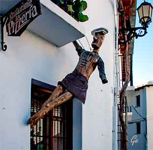 En "gallionsfigur" utenfor døren |
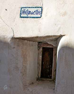 Ikke brevsprekk men brødsprekk, bakeren tok en runde om morgenen og leverte. |
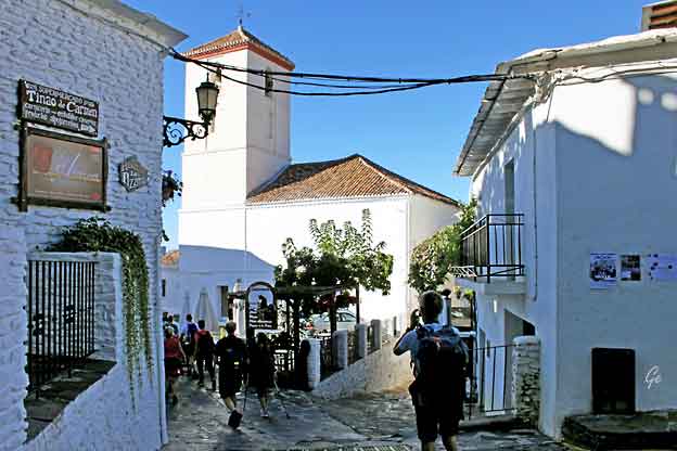
Byrundtur i Capileira
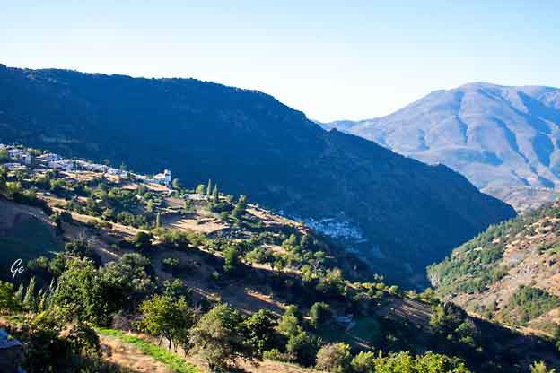
De tre byene Capileira, Bubion og Pampaneira ligger terrassert
 |
Vi
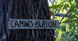
gikk først gjennom byen "vår" Capileira. Så kom vi inn på Camino Bubion og fulgte den til neste landsby, Bubion. |
The highest of the three villages in the Barranco de Poqueira, at 1,436m,
Capileira is a good base for walking in the gorge itself or up to the Sierra
Nevada. Its twisting, steep streets are dotted with many springs gushing
with fresh mountain water and there are superb views of the Poqueira
gorge and the Sierra Nevada everywhere you look. With a population of 600,
it′s also the largest of the three villages in the Poqueira gorge – the
others being Bubión and Pampaneira – and it has a good choice of
accommodation and bars.
http://www.andalucia.com/province/granada/capileira/home.htm
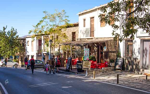
Vi er i Bubion, et lite lokalsentrum på hovedveien opp mellom byene.
Halfway between Capileira and Pampaneira in the Poqueira gorge is the
sleepy village of Bubión, which like its neighbours is surrounded by
magnificent views of the often snow-capped Sierra Nevada peaks and the
Alpujarras. Bubión is also a good base for walking and is on the GR7
long-distance footpath.
http://www.andalucia.com/province/granada/bubion/home.htm
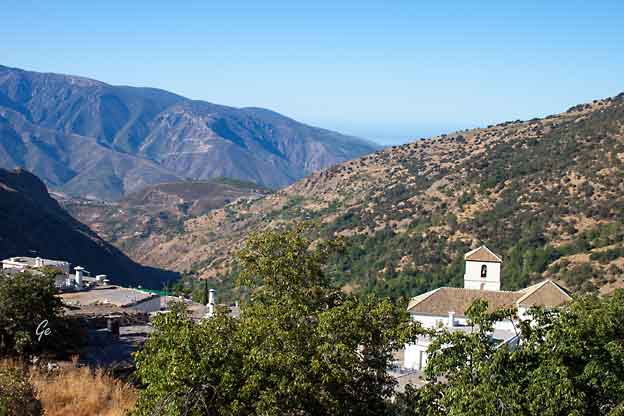
Bubión is thought to have been founded in Roman times, and in any case it
certainly antedates the Moorish invasion of the 7th century.
Under the Moors, it was under the authority of Ugíjar. In the 16th century,
after the fall of Granada to the "Catholic Monarchs", the village participated
in the rebellions by the Moors (or "Moriscos" - Moors supposed to have been
converted to Christianity). In the second rebellion, which started in December
1568, Bubión was one of the first villages of the Alpujarra to fall to the
Catholic forces, after a major battle in the Poqueira valley.
Following their defeat in 1571, almost all Moriscos were expelled from the
province of Granada. They were partially replaced by Christian
settlers from other parts of Spain.
https://en.wikipedia.org/wiki/Bubi%C3%B3n
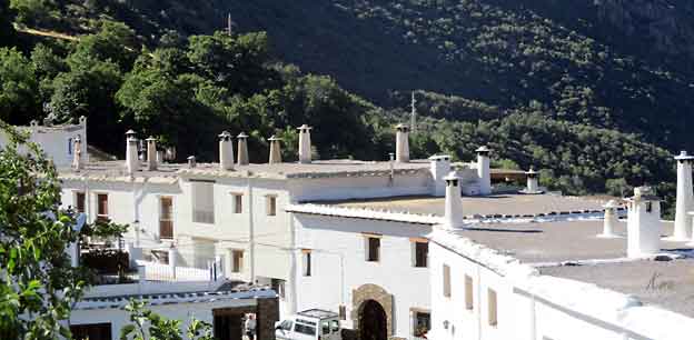
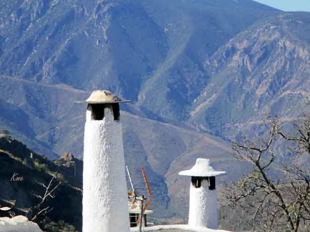
Skorsteinspipene er særpreget for området
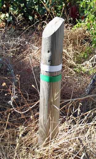 Merking på vandrerutene, tilsvarende våre norske T -er |
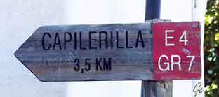 The letters GR stand for "Gran Recorrido" (Long Journey). The GR7 is the footpath through Andalucia, which forms part of the European Route No. 4. The route is made up of itineraries, which are designed to avoid crossing or using tarmac roads or any roads used by traffic, wherever possible. The origins of the long European Route No.4 or E4 (totaling over 10,500 kilometres) come from the time, centuries ago, when man moved away from the seashores to explore living inland, marking the start of the hunting and gathering evolution, which later developed into the first farming and agricultural societies. |
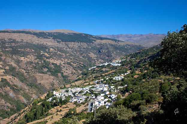
De to byene Bubion (nederst) og Capileira ovenfor.
The extensive footpath is based on this ancient trade route and it offers
us an opportunity to walk the length of Europe. It begins at Tarifa, in the Straits
of Gibraltar and after crossing the coastal mountains of Spain; it carries on
across the Pyrenees, France, Switzerland, Austria, Hungary, Rumania and Greece.
http://www.andalucia.com/rural/walking/gr7.htm
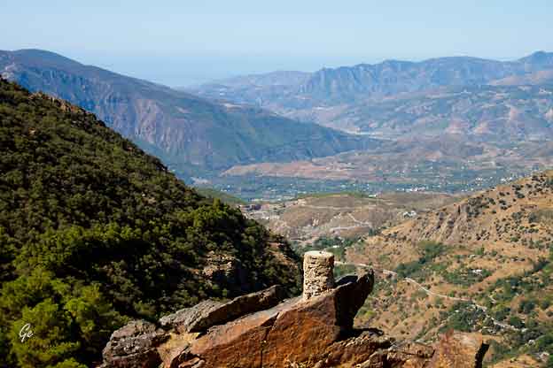
Fra Bubion gikk vi over en høyde. Fra toppen kunne vi se Middelhavet.
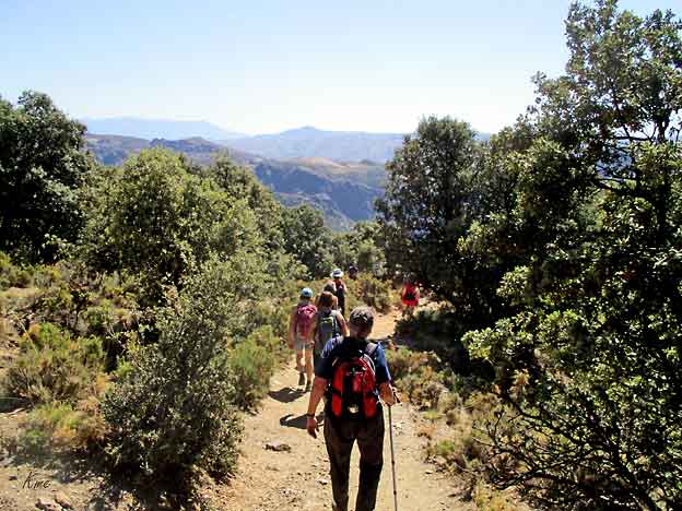
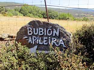 |
Stiene
er godt merket. |
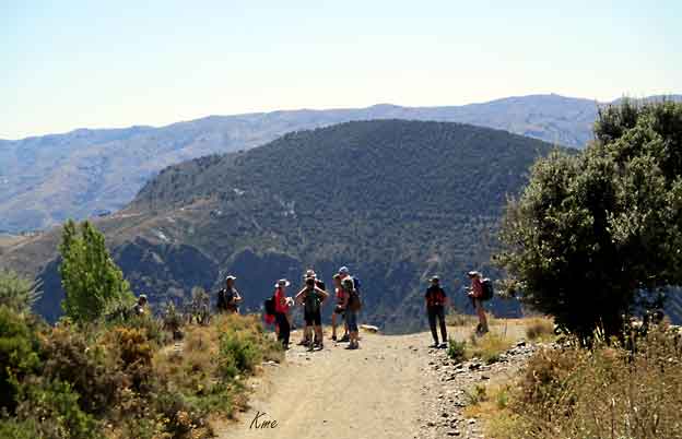
En pust i bakken, og beundring av utsikten.
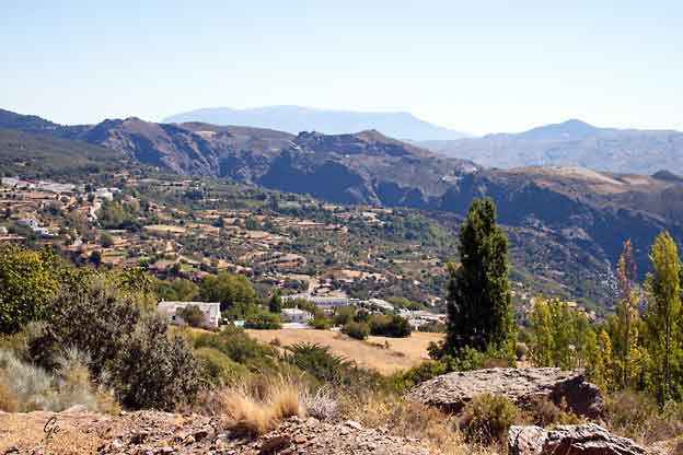
Neste landsby er Capilerilla.
Capilerilla, small and lovely village to which one can access from Pitres, forms a
part of the municipality of La Tahá and shares the typical features of the villages
in the Alpujarra: a unique type of architecture in the buildings, perfectly adapted
to the structure of the land and the climate of the area, which are arranged in
narrow streets where the memory lingers in its Moorish past.
At the heart of the Alpujarra of Granada, the only region in the peninsula, natural
step between the Mediterranean coast and Sierra Nevada, where stand the highest
peaks in the Spanish territory, is "natural right" that a place should be known.
Capilerilla - Official Andalusia tourism website ( 24. november 2024)
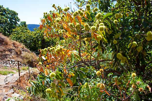
Frodigheten er overveldende
Kanaler for irrigrasjon går overalt
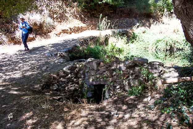
Water tanks or ponds
They allow the accumulation of enough water to either water or just to store it.
The need of a bigger accumulation of water will lead to the construction of
water tanks with perimeter walls made of masonry. The Alberca Grande in
Mecina Fondales (La Taha) excels.
Dams
These are thick walls built through a river, stream or
canal to dam water
or to take it out of its bed.
water-in-the-alpujarra
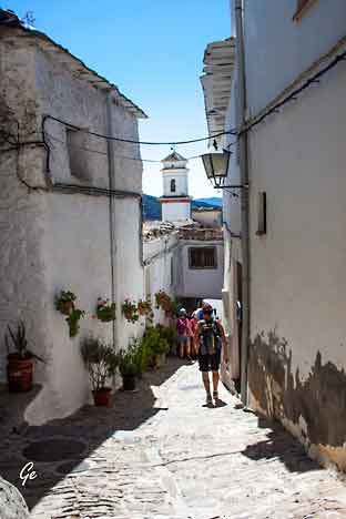 |
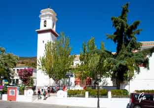 Kirken i Pitres |
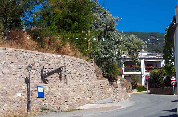
Byene langs kysten hadde tollprivilegier, og tjente på det,
så en glup type oppe i åsen fant ut at å henge opp et anker,
samt en robåt på torget, kvalifiserte til kystby, og det gikk igjennom!
Byen fikk nytt navn: El Puerto de Pitres.
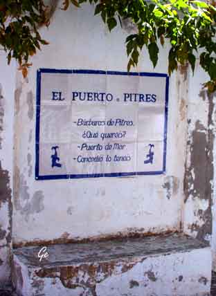 |
El
Puerto de Pitres Barbaros de Pitres Que quereis Puerto de Mar Concedio lo teneis Maskinoversettelse: Barbarer av Pitres Hva vil du ha? Havn Gitt, du har det |
 |
 |
 |
De
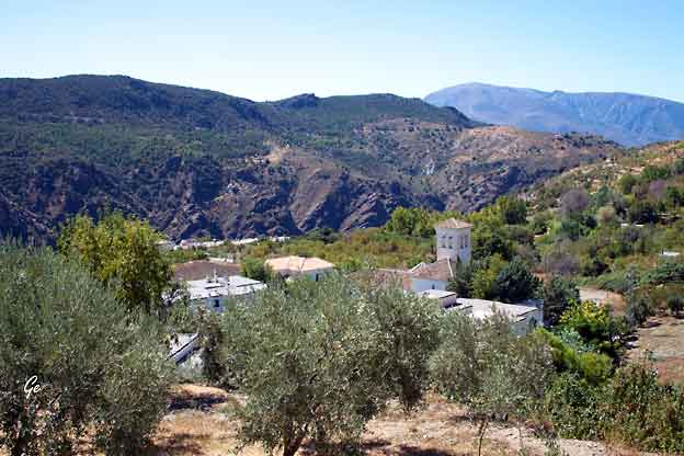
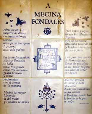
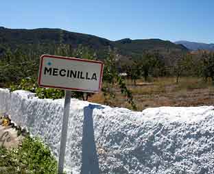
neste landsbyene vi gikk gjennom var Mecina og Mecinilla. |
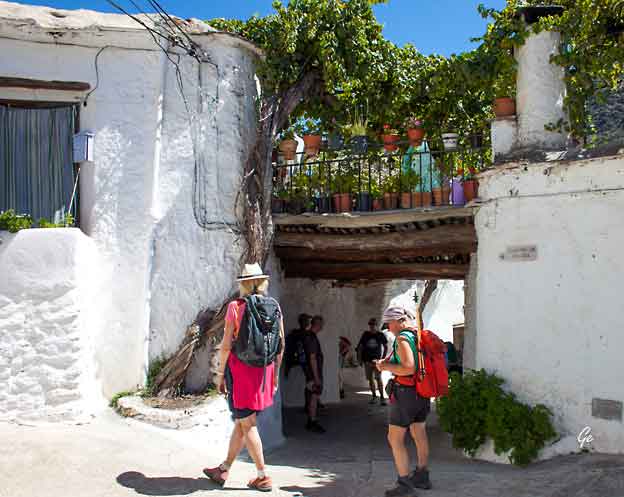
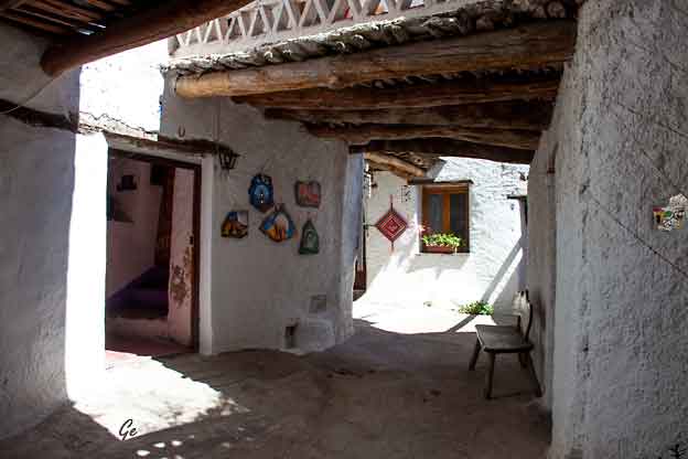
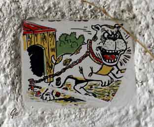 |
Farlig,
eller bare koselig vakthund? |
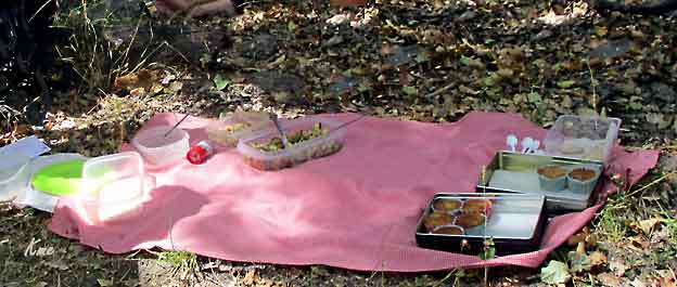
Lunsjrestauranten. "Bordet" er dessverre nesten tømt da bildet ble tatt.
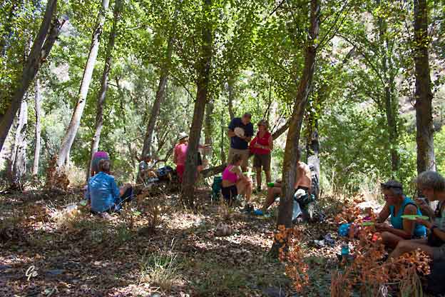
Ut på tur. Godt å spise i skyggen.
Det er varmt her nede i dalbunnen. 33 grader sa en vi møtte på veien.
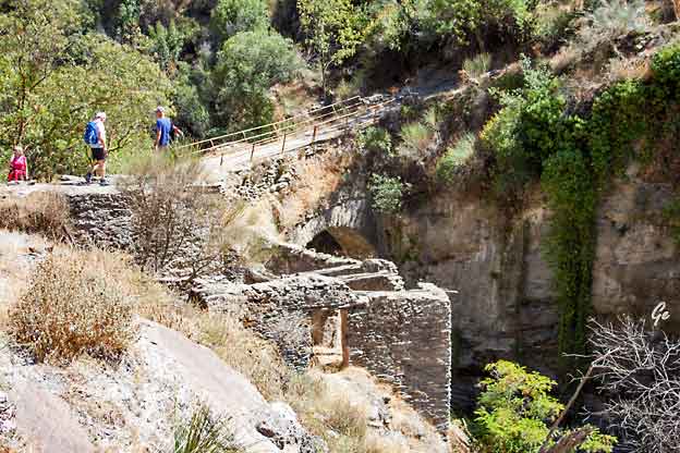
Romersk bro over Rio Trevelez. Vi skulle ikke over, bare beundre broa.
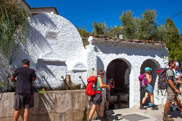
Vasking av middagsgrønnsakene i kilden på torvet,
og turist som kjøler seg ned i vaskekummen inne.
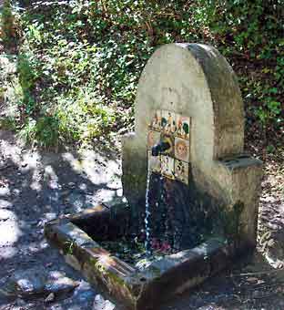
| Fuentes
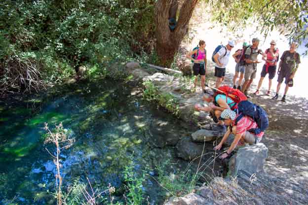
de Salud eller helsekilder. Forsøkt oversatt fra skilt ved kilden: Kildene med vann med spesielle egenskaper er hyppige i hele Alpujarra. I de flesfte tilfeller kalles disse jernholdig vann, eller som de er kjent her, surt vann. Disse inneholder jern og er naturlig forgasset. Vannet smakte, og gjorde, veldig godt for oss som var svette og slitne etter bratte oppoverbakker. |
 |
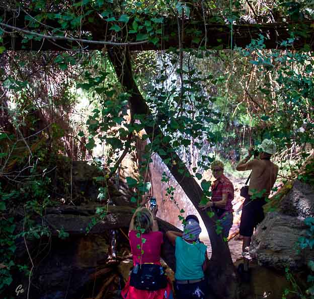
En naturlig dusj i tette skogen. Flott å se på, og deilig oppfriskende.
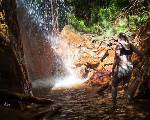
George viste vei til en liten foss rett ved stien.
Siden det var hett, veldig hett, måtte "alle" kjøle seg ned.
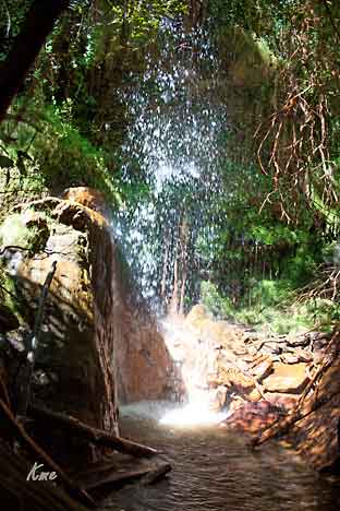 |
Det var virkelig godt å få en kjølt seg ned i denne herlige dusjen. Etter å ha drukket "farrisvann" rett fra en kilde, og fått en kjølig dusj, var vi klare for de siste bakkene opp til byen hvor en minibuss ventet på oss. Bussen kjørte oss tilbake til hotellet |
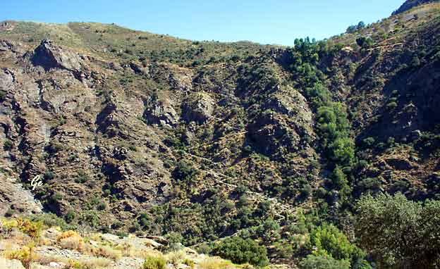
Se den fine veien som sikksakker opp gjennom fjellsida.
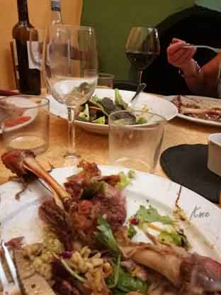
Middag på lokal restaurant. God lokal mat og god vin |
 |
Fra programmet: Turen starter etter frokost med kraftig nedstigning på god
sti ned til elven nedenfor Capileira. Vi følger oppover igjen og skal inn på
Sulayr-stien på den andre siden. Vårt mål er ryggen ovenfor det tibetanske
buddhist-senteret O Sel Ling (Lysets Sted).
Herfra har vi fantastisk utsikt over La Alpujarra, de små landsbyene nedenfor,
fjellene La Contraviesa og Lucar og er vi heldige kan vi til og med få et glimt
av Middelhavet!
Turen går gjennom eikelunder og la Atalaya på den venstre delen av Poqueira
Ravinen. Etter lunsj i disse "hellige" omgivelser, ser vi den flotte buddhastupaen
og bønnehjulet. Etter hvert får vi strukket bena langs en grusvei et stykke, før
vi kommer inn på mindre veletablerte stier og ender nede i den vakre lille
landsbyen Pampaneira hvor bussen plukker oss opp.
Vi vil kunne se pyrenisk eik, spanske kastanjer, ørn og varierte ville planter. Vår
guide som er interessert i flora og fauna, gleder seg til å redegjøre hver dag for
hva vi ser rundt oss!
Middag på hotellet i kveld.
Høyeste punkt 1650 moh,
total oppstigning 610 m, total nedstigning 850 m,
total distanse ca 18 km
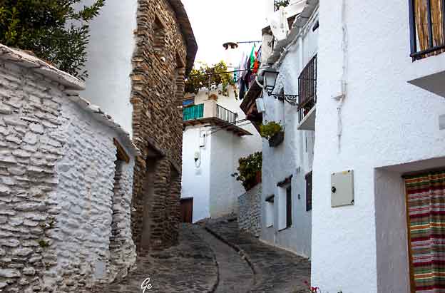
Trange, pittoreske gater, vannavløp i midten
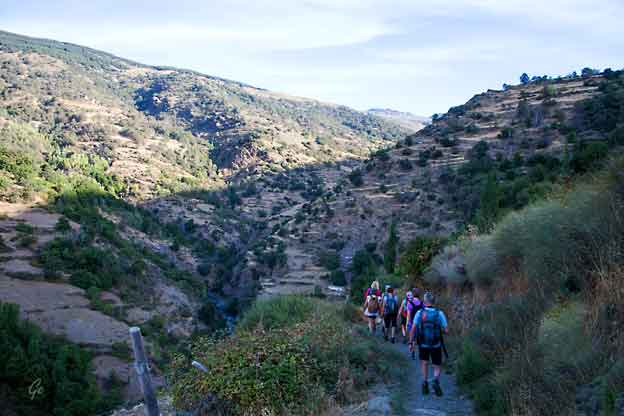
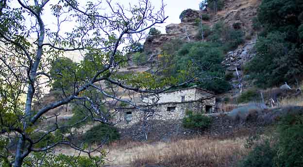
Steinhus i bakken ned mot elva Poqueira
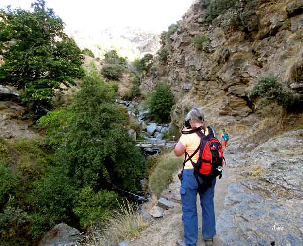
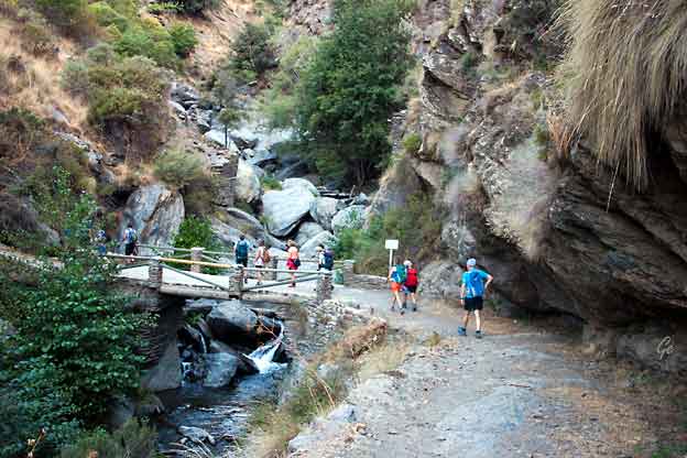
Vi krysser Rio Poqueira på fin bro.
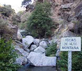 Rio Poqueira ved broa |
 |
 |
 |
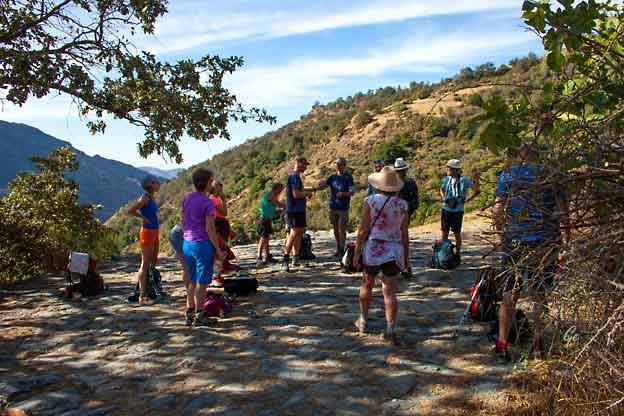
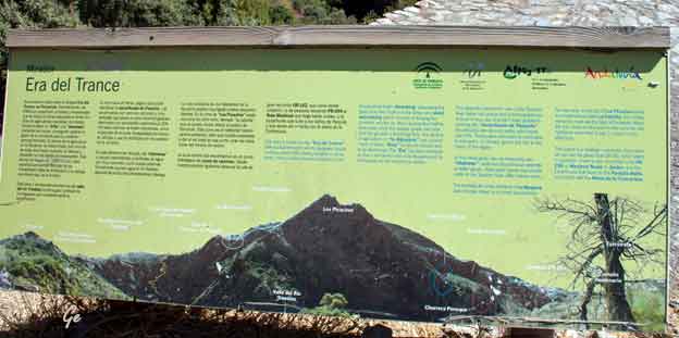
Era, treskeflate
Dette skiltet sto ikke ved plattingen på bildet til venstre,
men ved en annen "Era"
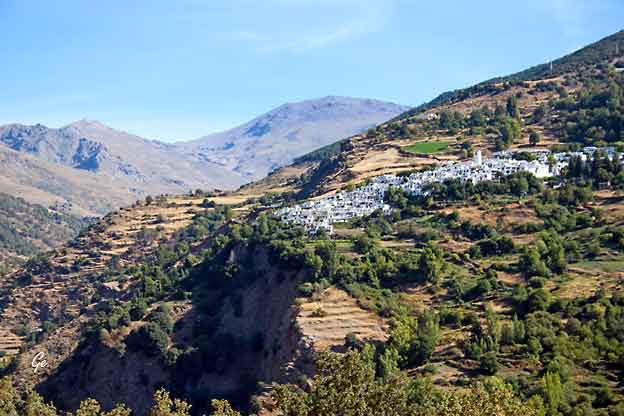
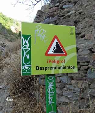
Er de nederste husene på utrygg grunn?
Herfra fikk vi se fjellet Mulhacen for første gang. På lørdag skulle vi opp dit.
Era is a spanish word used for designate circular surfaces paved with stones,
located in windy areas. Here is where the farmers carried out two
fundamental tasks: threshing, separating grain from the chaff and straw,
and wind winnowing which consists in tossing the contents into the air,
thus causing the chaff to blow away while the heavier grain fall back onto
the ground of threshing floor.
The decline of agriculture in "la Alpujarra" has caused many of these "Eras"
to fall into disuse and to be abandoned.
 |
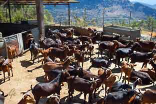 Geitene var ferdig melket og ventet på å slippe ut. |
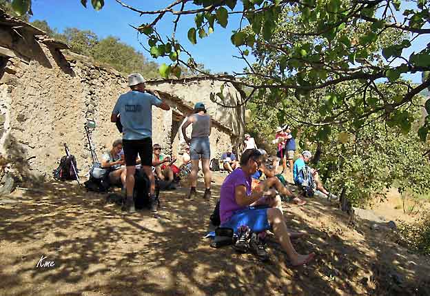
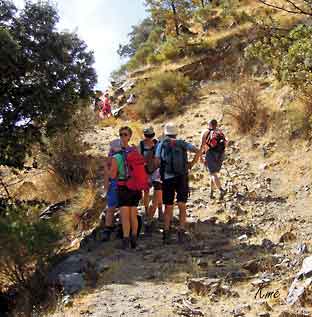
Til venstre: Vi gikk tunge bakker, men fikk godt med pauser underveis.
Guiden vår visste om fine skyggefulle hvilesteder.
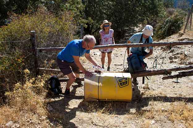
Noen steder må vi gjennom hinder.
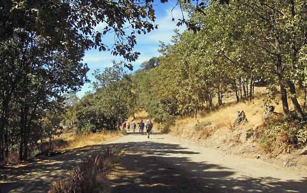
Men så er vi ute på god vei.
 |
 |
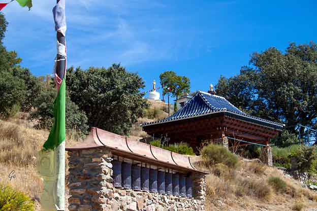
The place of the clear light, as O Sel Ling translates from the Tibetan, is a magical
space on the southern end of the mountain ridge opposite the villages of the
Poqueira Gorge. It is high and silent and powerfully peaceful, charged with the
energy of its entities. A path through the mountain garden takes you from a
massive bronze prayer wheel to a perfectly white stupa.
Nearby in a small pagoda is the Buddha of Medicine and higher up, ringed by
water, is the magnificent statue of Tara, Mother of all Buddhas, in all her
voluptuous generosity. The ridge top location, which locals know as
“La Atalaya”, looks out far and wide from this vantage point.
(25. februar 2022) Best walks in Las Alpujarras - O Sel Ling - La Alpujarra (alpujarra-granada.com)
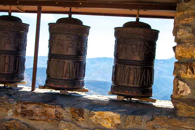
A prayer wheel is a cylindrical wheel (Tibetan: འཁོར་ལོ།, Wylie: khor lo) on a spindle
made from metal, wood, stone, leather or coarse cotton. Traditionally, the mantra
Om Mani Padme Hum is written in Newari language of Nepal, on the outside of
the wheel. Also sometimes depicted are Dakinis, Protectors and very often the
8 auspicious symbols Ashtamangala. At the core of the cylinder is a "Life Tree"
often made of wood or metal with certain mantras written on or wrapped around
it. Many thousands (or in the case of larger prayer wheels, millions) of mantras are
then wrapped around this life tree. The Mantra Om Mani Padme Hum is most
commonly used, but other mantras may be used as well. According to the Tibetan Buddhist tradition based on the lineage texts regarding prayer wheels, spinning
such a wheel will have much the same meritorious effect as orally reciting the
prayers.
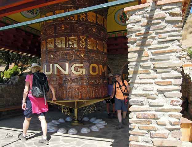
The first prayer wheels, which are driven by wind, have been used in Tibet and China since the fourth century. The concept of the prayer
wheel is a physical manifestation of the phrase "turning the wheel of
Dharma," which describes the way in which the Buddha taught.
Prayer Wheels originated from ‘The School of Shakyamuni sutra,
volume 3 – pagoda and temple’ which states that, “those who set up
the place for worship, use the knowledge to propagate the dharma to
common people, should there be any man or woman who are illiterate
and unable to read the sutra, they should then set up the prayer wheel
to facilitate those illiterate to chant the sutra, and the effect is the same
as reading the sutra”
https://en.wikipedia.org/wiki/Prayer_wheel
relics associated with the Buddhaor other saintly persons.
The hemispherical form of the stupa appears to have derived from
pre-Buddhist burial mounds in India. As most characteristically seen
at Sanchi in the Great Stupa (2nd–1st century bc), the monument
consists of a circular base supporting a massive solid dome
(the anda, “egg,” or garbha, “womb”) from which projects an umbrella.
The whole of the Great Stupa is encircled by a railing and four gateways,
which are richly decorated with relief sculpture depicting Jataka tales,
events in the life of the Buddha, and popular mythological figures.
https://www.britannica.com/topic/stupa
Traditionally, prayer flags come in sets of five: one in each of five colors.
The five colors are arranged from left to right in a specific order: blue, white, red,
green, and yellow. The five colors represent the five elements and the Five Pure
Lights. Different elements are associated with different colors for specific
traditions, purposes and sadhana. Blue symbolizes the sky and space, white
symbolizes the air and wind, red symbolizes fire, green symbolizes water, and
yellow symbolizes earth. According to Traditional Tibetan medicine, health and
harmony are produced through the balance of the five elements.
https://en.wikipedia.org/wiki/Prayer_flag
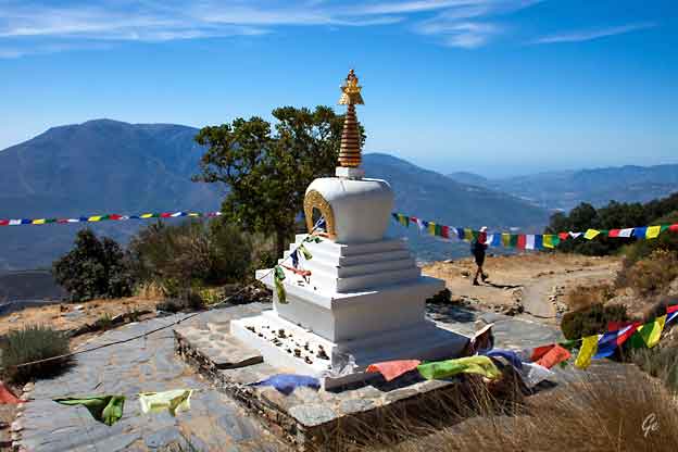
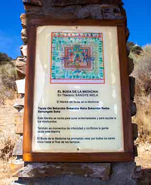 |
El
Buda de la Medicina Tayata Om Bekandze Bekandze Maha Bekandze Radza Samungate Soha Resten i google-oversettelse: Denne Mantren er resitert for å kurere sykdommer og for å hjelpe døende. Også i tider med ulykke og konflikter resiterer dette Mantraet. El Buda de la Medicina har lovet å se til alle levende til slutten av tiden. |
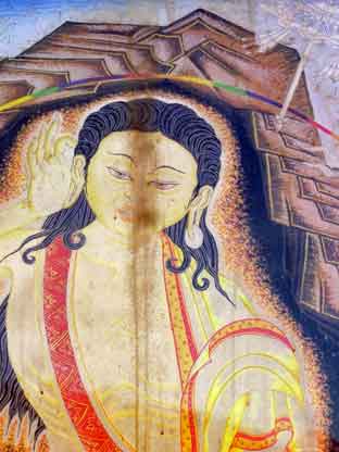
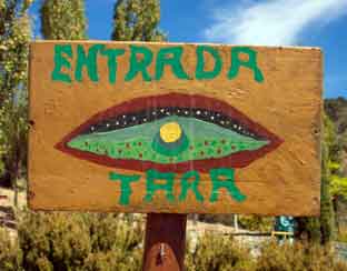 Green Tara: Compassion in Action As we see in the image above, Green Tara is usually depicted as a compassionate being ready to step down from her lotus throne to offer comfort and protection from all of the sufferings we experience in the world. She is shown “in a posture of ease and readiness for action. While her left leg is folded in the contemplative position, her right leg is outstretched, ready to spring into action. |
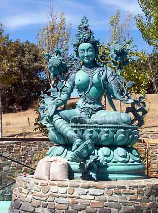 Green Tara’s left hand is in the refuge-granting mudra (gesture); her right hand makes the boon-granting [giving] gesture. In her hands she also holds closed blue lotuses (utpalas), which symbolize purity and power.” https://www.yowangdu.com/tibetan- buddhism/green-tara-mantra.html |
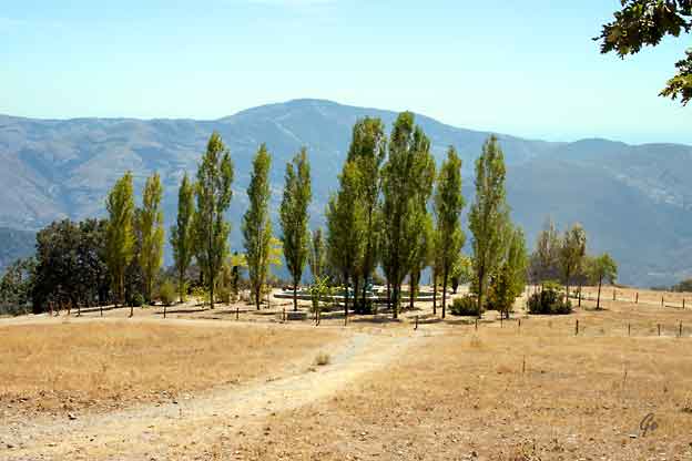
I sirkelen bak trærne sitter Tara
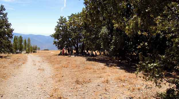
Vi har funnet et skyggefullt sted hvor vi spiser lunsjen vår.
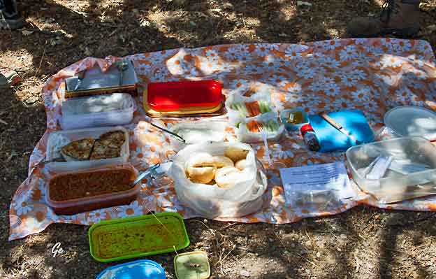
Dette hadde guide George med seg i dag.
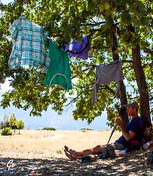
| Vi
var blitt svette av den lange bakken. Noen hengte opp trøyene til tørk i trærne mens vi spiste. |
 |
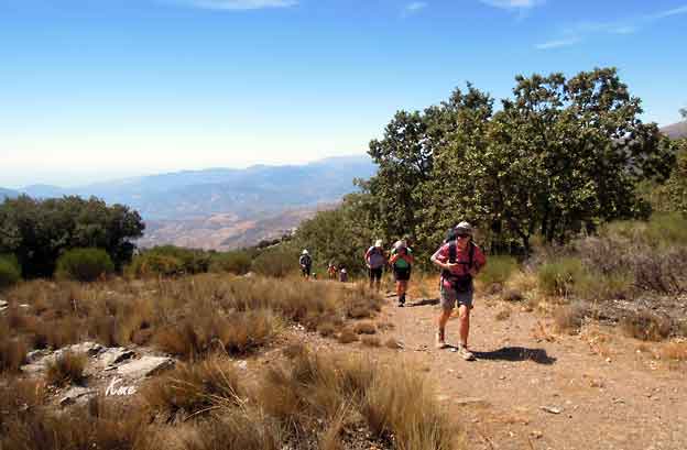
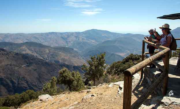
Etter lunsjen fortsatte vi opp til et branntårn. Der oppe fra var det flott utsikt.
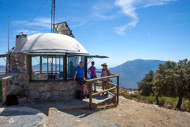
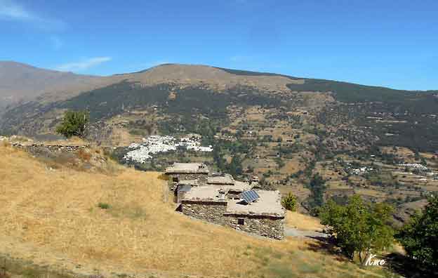
Husene ser gamle ut, men solcellepanel har de på plass
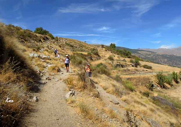
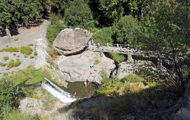
Fra branntårnet gikk det stort sett bratt nedover, helt ned til Rio Poqueira.
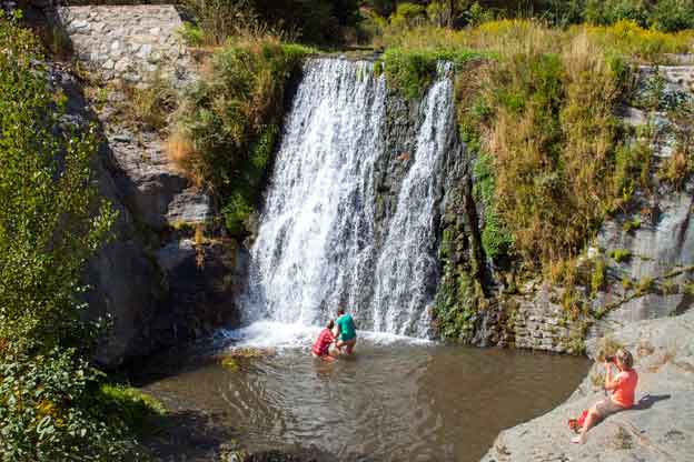
Denne dagen ble det litt forsinkelse siden en fikk gåproblemer, så de andre
måtte vente. Da passet det bra at det var badevann på venteplassen.
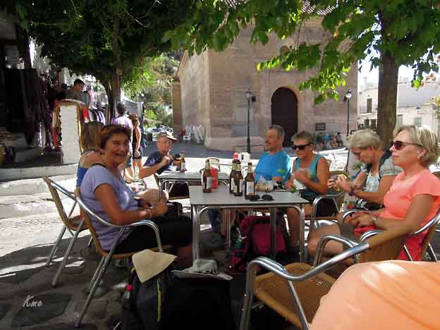
Velfortjent!!
Vi er i Pampaneira
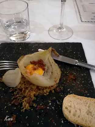
Takk for maten! Eggeplomme i stekt løk er ikke min favoritt, sa Karl Martin. Grete syntes det var ganske godt. |
 |
Valgfri dag
Det kan være du har lyst til å utforske området på egen hånd i dag,
bestille en massasje, ri, slappe av på hotellet, sole deg og svømme, eller
kanskje du ønsker å bese deg i en eller flere av de tre vakre landsbyene
Pampaneira, Bubion og Capileira?
I så fall vil gjerne reiseleder ta dere med fra Capileira ned til
nabolandsbyene Pampaneria og Bubion, og vise dere hva området har å
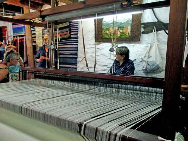
by på innen håndverkstradisjoner. Vi besøker et veveri, vi smaker lokale
produkter av ost, skinke og vin, du kan kjøpe med deg serrano-skinke
som området er så kjent for, og vi inntar en lokal lunsj før vi har
transport tilbake.
Landsbyene hvelver seg vakkert utover som i terrasser, noe som for oss
betyr opp- og nedstigninger på alle kanter, så helt hviledag blir det ikke.
Reiseleder legger opp til en slik tur etter frokost, og den som ønsker
kan slå følge (ikke inkl.)
Middag i kveld på en av Capileiras gode lokale restauranter.
 |
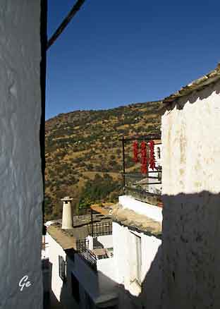
 Standard forheng i Syden |
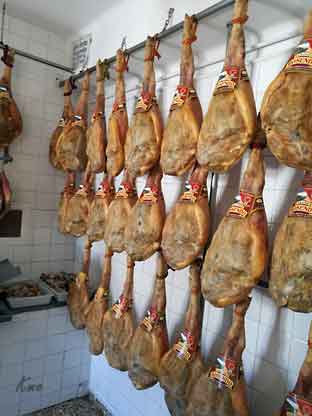 Skinker fra hele Spania sendes hit til distriktet for tørking. |
 |
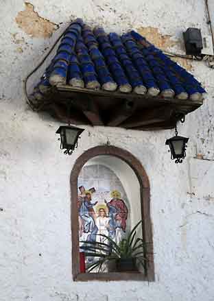
| Dagens
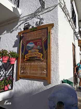
første stopp var i skinkebutikken i Capileira. Her ble det storhandel. |
 |
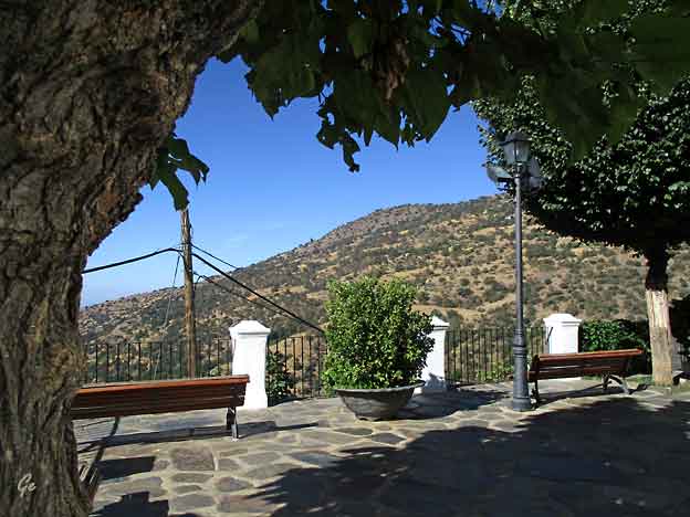
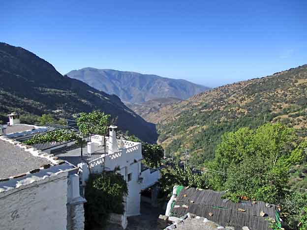
Fra Capileira gikk vi til den neste landsbyen, Bubion
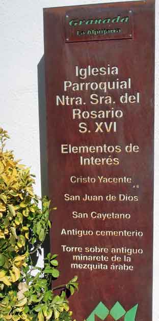
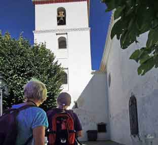 Kirken i Bubion, Iglesia Parroquial de Nuestra Senora del Rosario |
 |
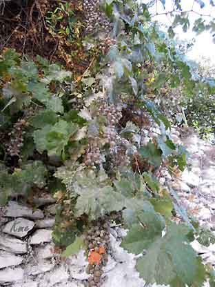 God vokseplass, garasjeveggen |
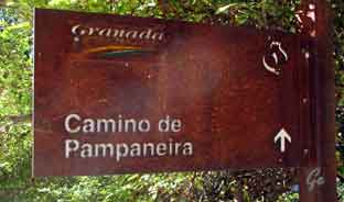 Fra Bubion tok vi stien til Pampaneira som er den nederste landsbyen. |
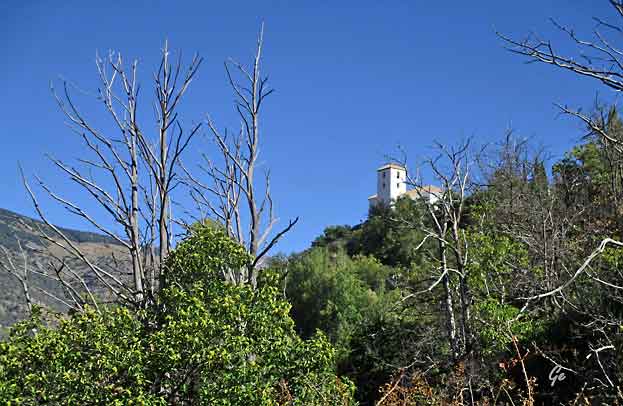
Mot kirken i Bubion
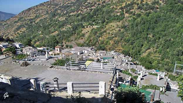
Bare flate tak i dette området.
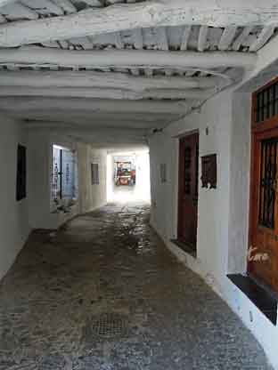 Legg merke til taket, dette er et gammelt hus, tydeligvis |
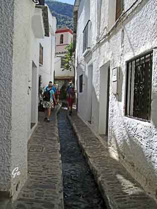 Trange gater gir ikke utsikt, derimot skygge på brennhete dager. Vannet renner midt i gata. |
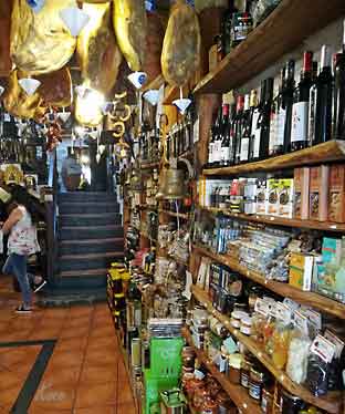 Reiselederens demobutikk. Kjøpeviljen på topp. Spekeskinken kostet tredjeparten av prisen hjemme |
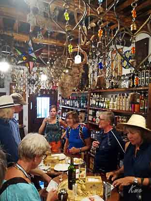 Det var satt fram rikelig med smaksprøver av ost, skinke og vin |
 |
 |
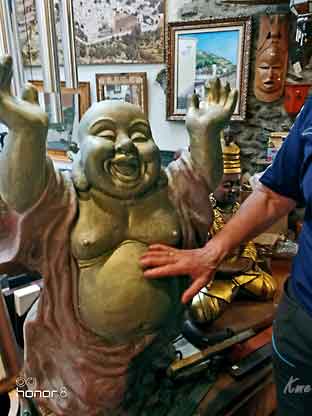 Kosegutten |
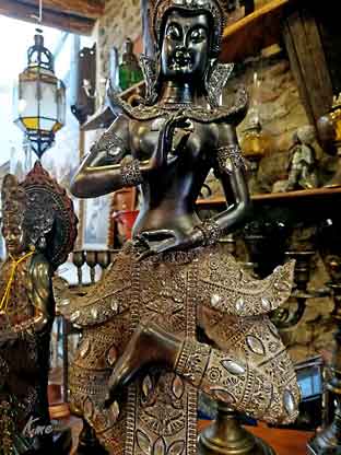 og damen |
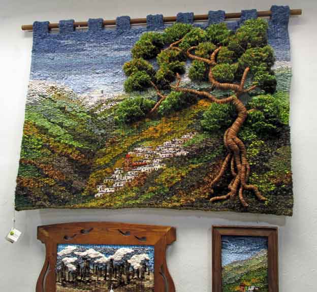
Kunstveving
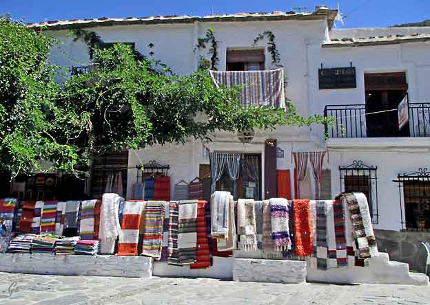
Tepper, spesielle for området
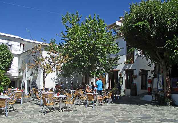
Fred og ro på torvet. Tidlig på dagen
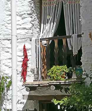 Peppertørking |
 |
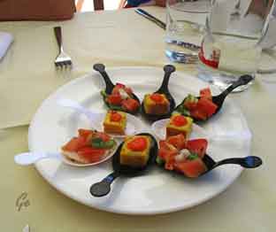 |
Deilig
tapas |
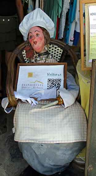
Damen til venstre inviterer til lunsj.
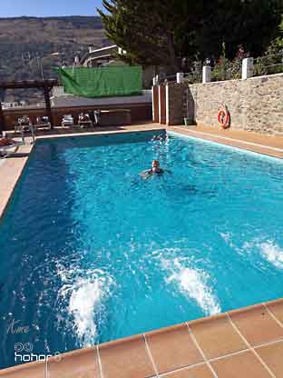 |
Etter
turen var det godt med en svømmetur i bassenget på hotellet. |
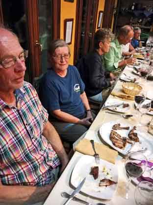 Middagslur etter maten |
Middag
på restaurant i Capileira. Restaurant Casa de Pilar y Paco Lopez? |
Til lyden og synet av rennende vann skal vi i dag følge elvene Poqueira og Naute
mens vi klatrer nordover fra den vakre broen Buchite i retning Mulhacen.
Etter rundt fire timer, forlater vi elva og kommer opp i det åpne landskapet ved
Mulhacens skjørt. Dagens picnic inntas ved Cortijo Las Tomas, 2100 moh.
Herfra kan vi beundre Sierre Lujar som rager 1820 meter. Etter hvert som vi får
høyde og distanse, vil vi få et enda bedre inntrykk av Mulhacen, Veleta og Pico
del Tajo de los Machos der de dramatisk fremstår og ikke minst bidrar til å
skjerpe appetitten for morgendagens tur til Mulhacen!
Vi fyller vannflaskene med krystallklart fjellvann før vi fortsetter sørover og
kommer tilbake til Capileira og hotellet via duftende trær og brosteinsbelagt sti.
Vi kan på turen se blant annet en type eik, popler, valnøtt-trær og et rikt
planteliv langs elvene som orkideer, hyasinter, fjellroser.
Rikt fugleliv.
På kvelden inviteres du til aperitiff på en gallerikafe, en liten hemmelighet som
nærmest henger utover dalen og fra hvor vi kan se over og opp til O Sel Ling på
den andre siden.
Middag på hotellet.
Høyeste punkt 2100 moh,
total oppstigning 1050 m, total nedstigning 1050 m.
Total distanse ca 22 km
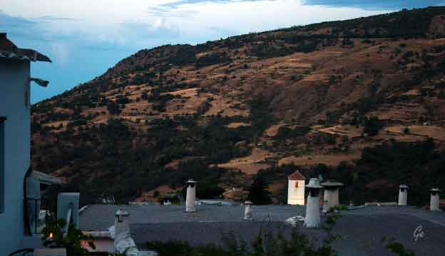
En tidlig morgenstund.
Det eneste lyset er fra kirketårnet.
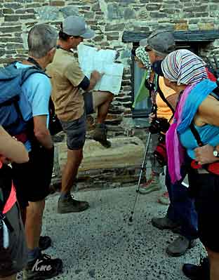 dit! |
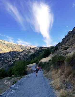 Den glade vandrer |
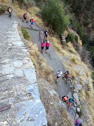 |
Vi
starter med en bratt nedstigning i dag også. Elva Poqueira må krysses igjen. Denne gang over broa Abuchite |
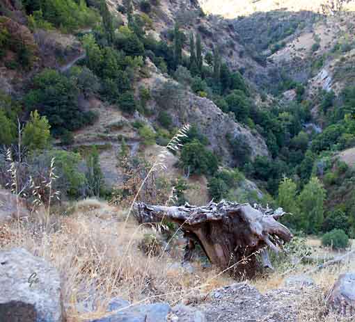
Gammel trerot
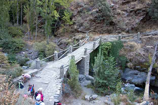
Broa Abuchite
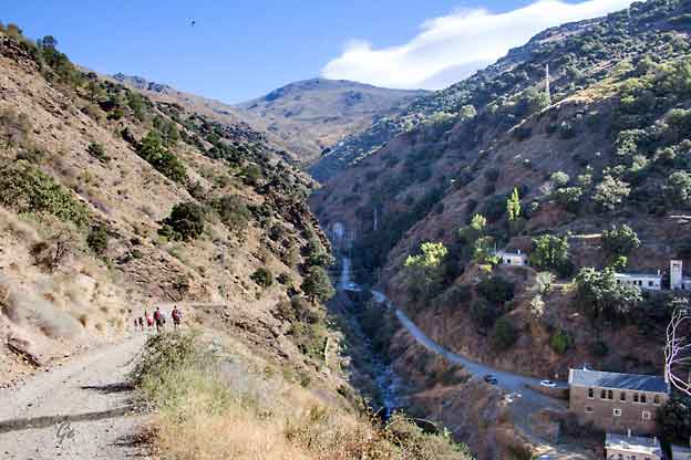
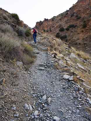 Your path emerges onto a broad, driveable track to La Cebadilla. Driveable because it leads to the hydroelectric generating station which will mark the apogee of this walk. |
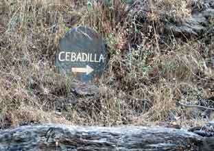 The building of the generating station explains the existence of the Poblado, complete with school and chapel, which served in the 1950s as housing for as many as 200 workers. Every couple of days, a volunteer would set out on a mule to bring back milk, tobacco, wine and other essentials from one of the villages down the gorge. Today, it is a ghost town and the buildings you amble past are decrepit and lifeless. The spirit of a Moorish princess is said to wander these parts, but the only inhabitant I saw was a lone black bull, silent and impassive. (22. februar 2022) Best walks in Las Alpujarras - La Cebadilla - La Alpujarra (alpujarra-granada.com) |
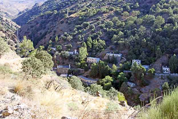
Den fraflyttede byen Cebadilla
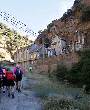 Det lokale kraftverket, ikke akkurat Vemork, men det gjør nytten. |
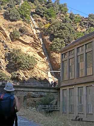 |
taking advantage of the unevenness of the terrain.
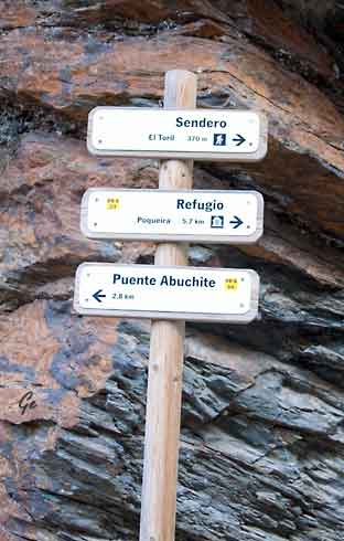 |
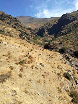 |
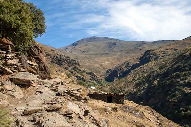
Vi ser Mulhacen (3482 moh) i det fjerne.
Refugio Poqueira ligger i lia under toppen.
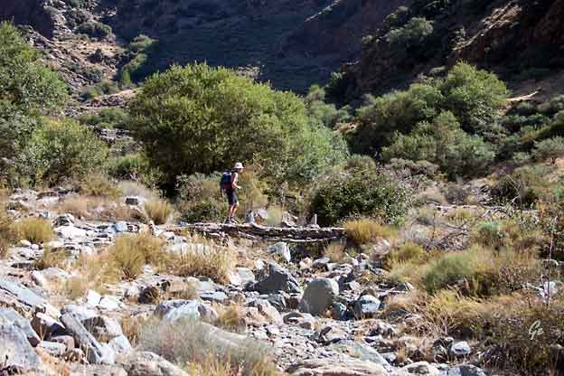
På bro over elva Naute
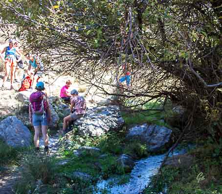
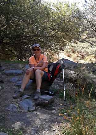
En hvil i skyggen
 |
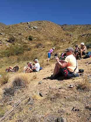 |
Dagens lunsj ble inntatt på 2100 moh.
Det er godt og varmt, og viktig med nok drikke.
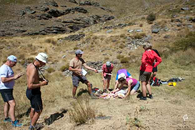
George har brettet ut lunsjduken
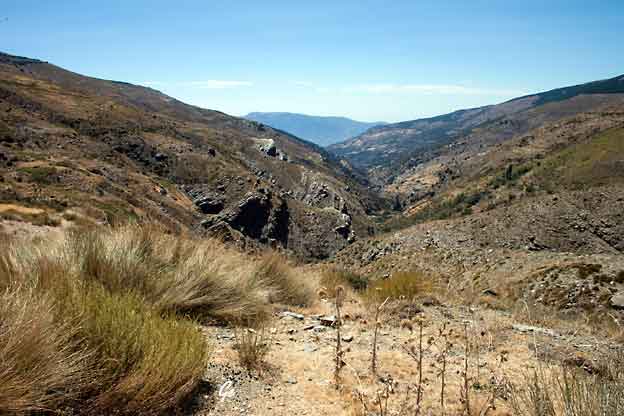
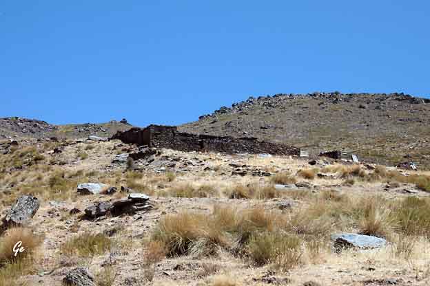
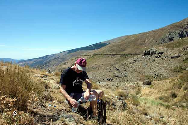
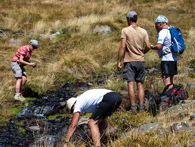
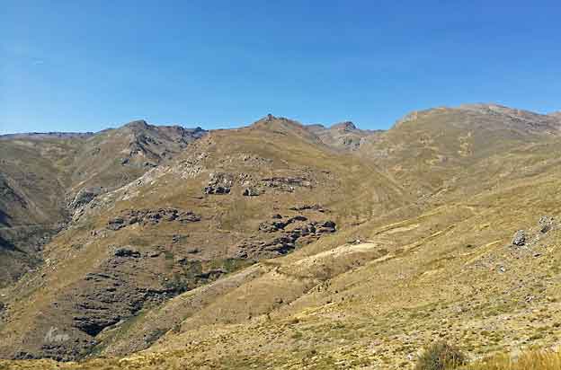
Til høyre: Vannflaskene blir fylt med vann fra en frisk fjellbekk.
Dette vannet skulle være garantert rent.
Ingen ble syke, så det stemte nok at det var rent.
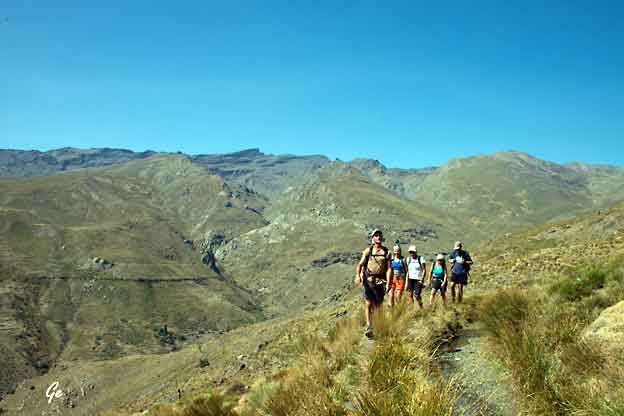
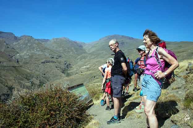
Et langt stykke fulgte vi en av de gamle vanningskanalene.
Ditches
With the objective of containing the water to be able to use it in the summer
and so that its flow reaches the agricultural areas, a whole system of ditches
is designed and built. The most typical ones are these three: careo, madre
and irrigation canal.
http://www.alpujarramagica.com/en/cultural-and-ethnographic-heritage/the-water-in-the-alpujarra
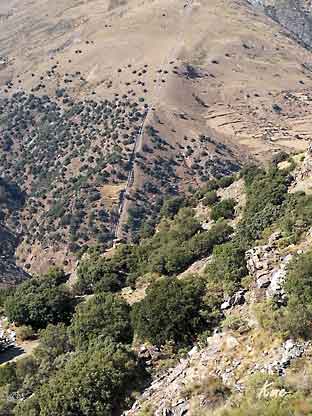 |
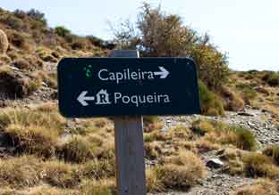 Til venstre: Rørgata til kraftverket |
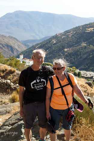 Unge og vakre, ut på tur! |
 |
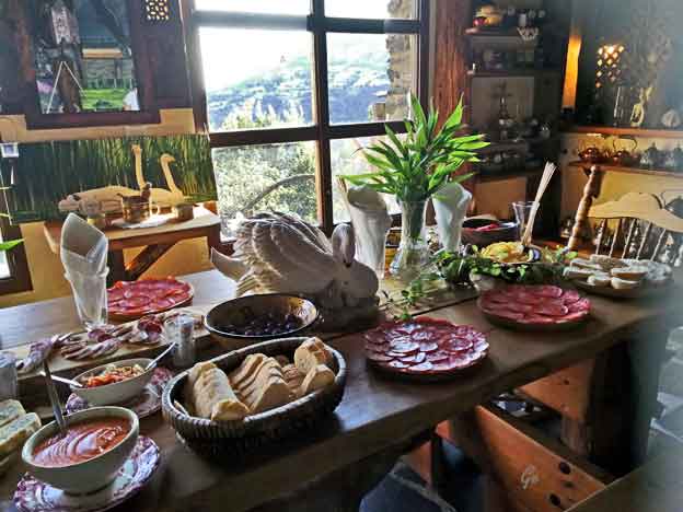
Lekkert anrettet, smaker godt.
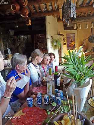
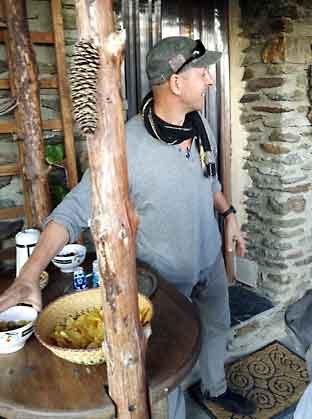 Reiseleder Vera ble kjent med en hun trodde drev et galleri, men det er hjemmet hans. |
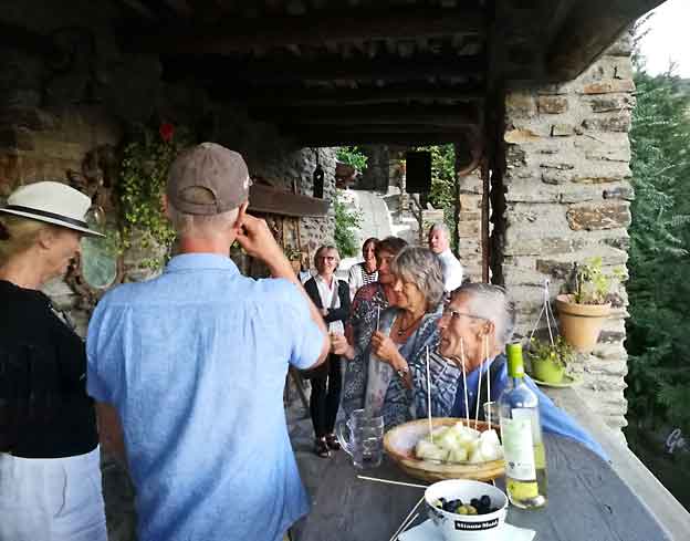
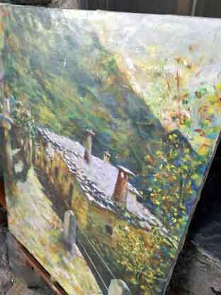 Han inviterer hjem, disker opp med mat og drikke. Bildene/kunsten kan kjøpes, med relativt høy pris (nominelt) |
Start kl 0830 fra hotellet i buss (Nasjonalpark transport).
Endelig ukens høydepunkt for mange?
Gjennom uken har vi vent oss til den tynne luften og i dag blir det høydevandring
langs tundralignende terreng. Vi følger ryggen opp til skulderen av Mulhacen og
videre til toppen 3482 meter og det høyeste fjellet på spansk fastland.
Bestigning så sant værmelding og Nasjonalparken tillater det.
Det er en fantastisk tur hvor vi på toppen inntar lunsjen, hvis været tillater.
Landskapet er selvfølgelig røffere, og vi ser alpeplanter og sjeldent fugleliv
karakteristisk for Mulhacens unike økologi.
Med forbehold om skydekke kan loves dramatisk utsikt over lagunene og
fjellene omkring, Middelhavet og Afrikakysten.
Vel nede på Mirador de Trevelez, returnerer vi til hotellet i buss.
Siste kveld i Capileira, og vi hentes i buss til Cortijo Catifalarga
hvor middagen etterfølges av et feiende flamencoshow.
Høyeste punkt 3482 moh,
total oppstigning 800 m, total nedstigning 800 m
total distanse ca 14 km.
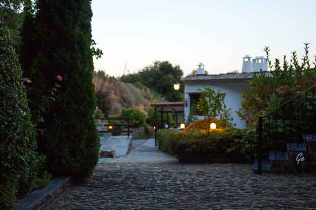
Morgenstund ved hotellet
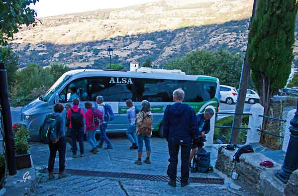
Klar for transport til startpunktet, ca 2700 moh
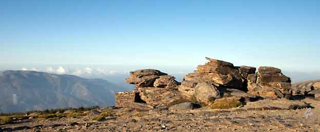
During the summer only, there is a bus service that takes you from Capileira
to the Mirador Trevelez at 2700m. From here you can walk to the summit in
2-3 hours via the less challenging South Ridge.
The bus must be booked in advance at the tourist information centre in Capileira.
http://www.andalucia.com/granada/guides/mountain_mulhacen.htm
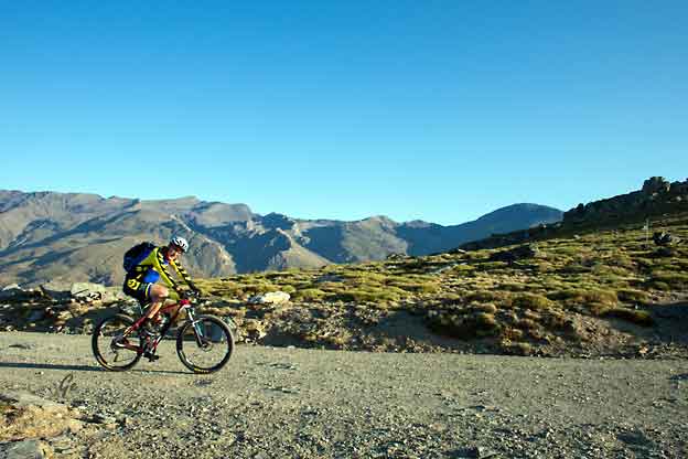
Mange syklister, men ikke lov å sykle helt til topps.
Det er dog mange ruter "under" toppen som kan brukes.
CLIMBING THE MOUNTAIN
There are four main routes up the mountain, three of which start fromthe south in the Alpujarras, all of varying technical levels.
This means that the climb is suitable for everyone, from the casual
hiker to the more experienced mountaineer. You can follow paths from
Granada city, the Sierra Nevada Ski Station, Capileira (Alpujarras),
or the village of Trevelez (Alpujarras). Alternatively, you can catch a
bus from Capileira to 2,700m above sea level, reducing the climb to
half a day's walk. Mobile phone networks provide coverage for
most of the walk.
http://www.andalucia.com/granada/guides/mountain_mulhacen.htm
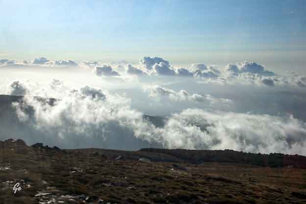
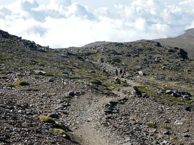
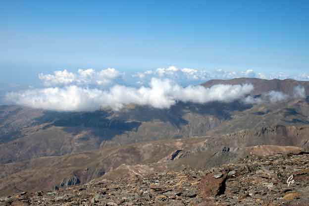
Skyene ligger under oss, og der ble de.
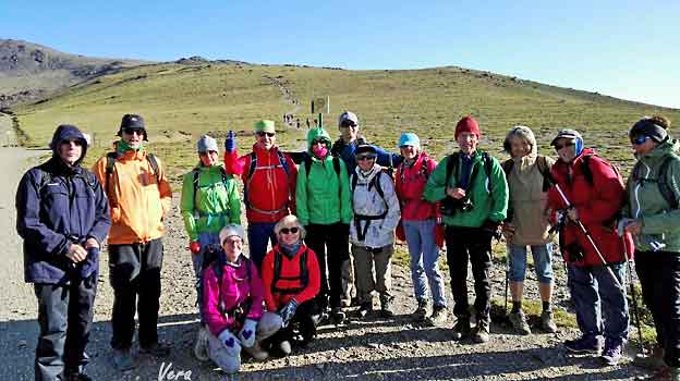
Klar til dyst, toppen opp , se venstre/øvre billedkant
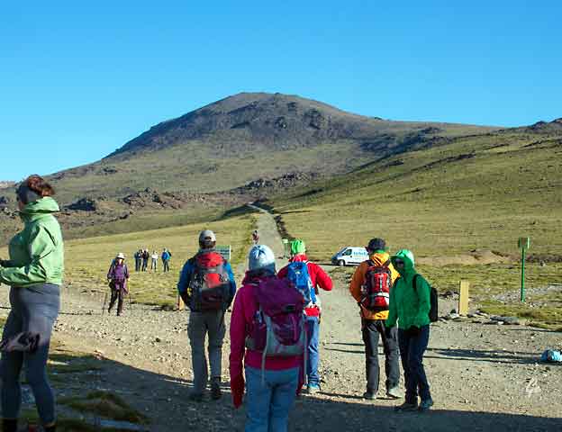
Skal vi dit!?
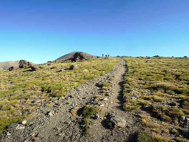
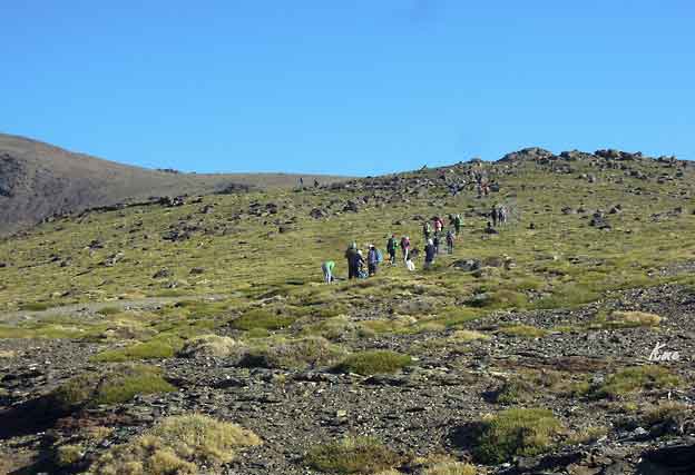
Nesten som lia opp fra Gjendesheim
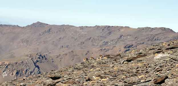
En flokk fjellgeiter
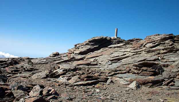
Den "falske" toppen. Det ble lenge trodd at dette var den riktige
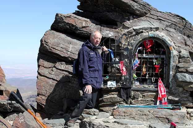
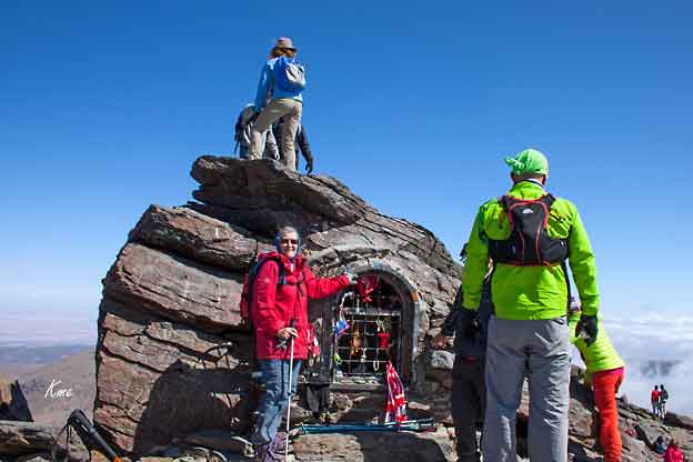
Obligatorisk fotopunkt, foran "madonnakapellet"
una pequeña hornacina a la Virgen de las Nieves.
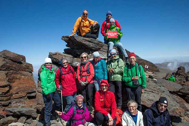
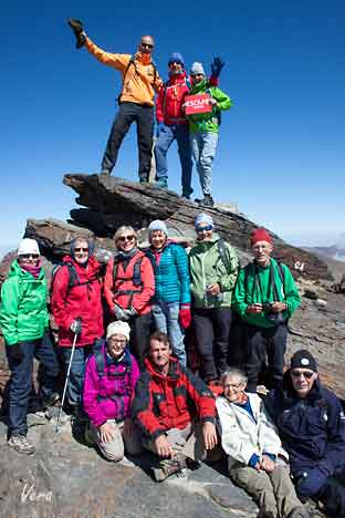
Alle skulle med, for livets glade jenter og gutter er intet umulig
 |
Standing at an impressive
3,482m above sea level, situated in the Sierra Nevada National Park, Mt. Mulhacen is the highest mountain in mainland Spain. The mountain is named after the 15th-century ruler of Granada Abu l-Hasan Ali, or Muley Hacén as he was known in Spanish. According to legend he was buried on the mountain's peak. http://www.andalucia.com/granada/ guides/mountain_mulhacen.htm |
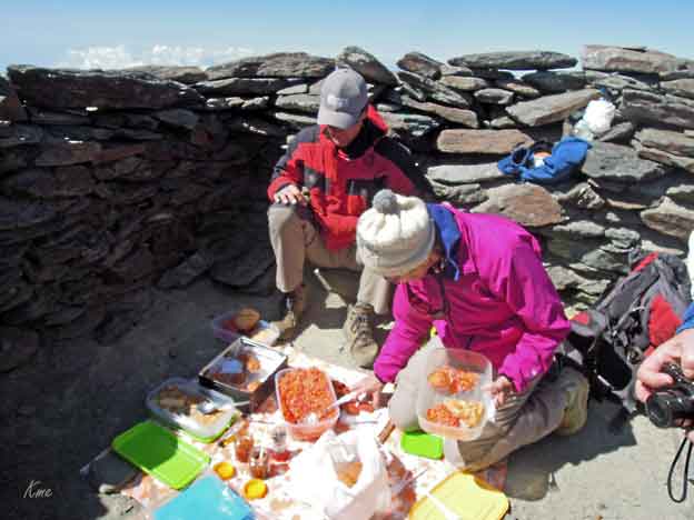
Endelig oppe, og det er klart for topplunsj
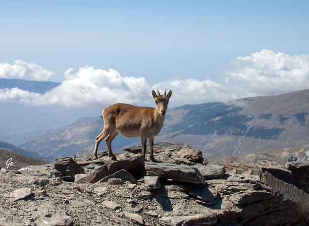
Vokteren, det vanker alltid en godbit
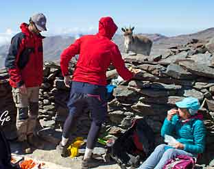 Vera lokker med god mat, |
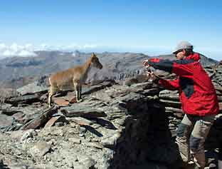 mens George fotograferer. |
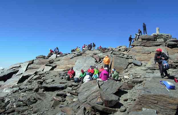
Det er mange som har tatt turen opp på Mulhacen i dag.
 En liten fugl |
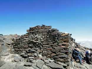 Rester av nødbu ???? |
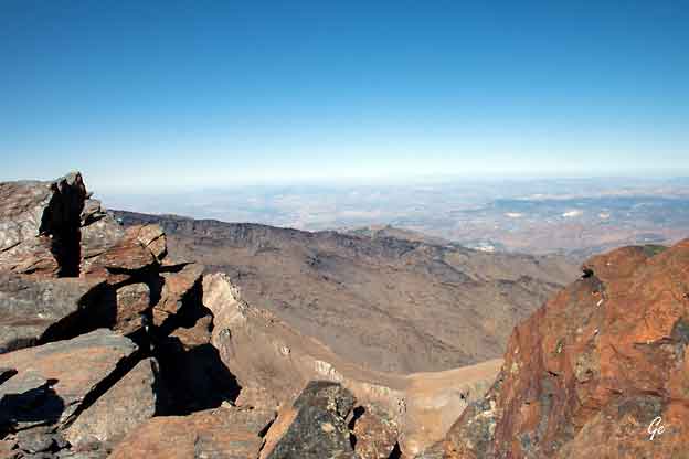
Utsikt fra toppen
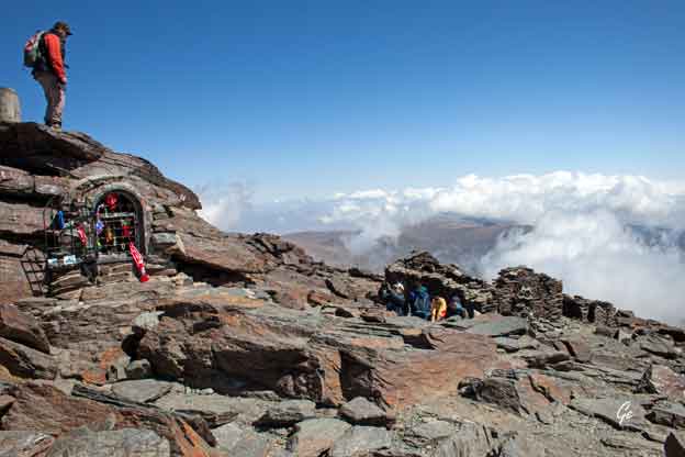
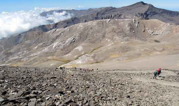
Så tar vi fatt på nedstigningen.
En annen rute ned, så vi fikk se mere av området.
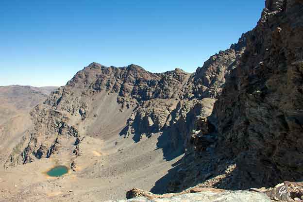
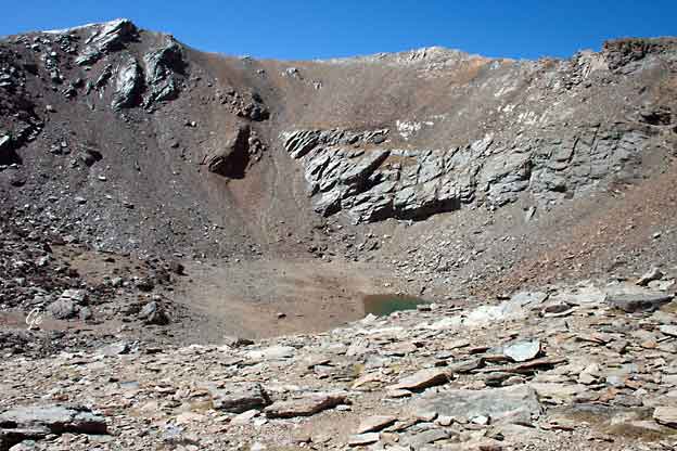
Caldera, dvs engang en vulkan. Opprinnelsen til fjellene er noe uklar.
Det er skiferbergarter, omtrent som en flatbrødpakke på skrå,
der de enkelte flakene glir ut.
Lett nedbrytbart av frostsprengning og vannsig
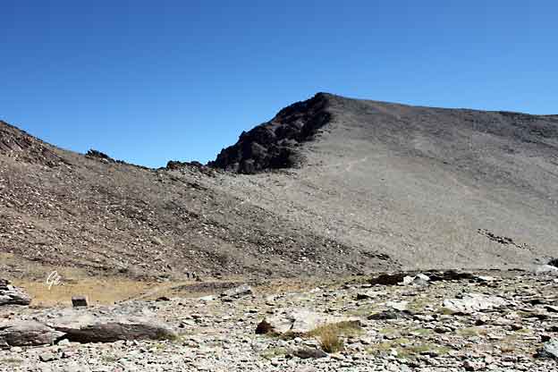
Stien ned fra toppen
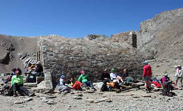
Nødbuer er det flere av.
Denne hadde bare ett rom, med køyeseng i to etasjer langs den
ene kortveggen, uten tverrskiller. Veldig spartansk, men sikkert
romantisk i gitte situasjoner.
|
Refugio
de Caldera (3050m)
This refugio can
be found on the Western Ridge and sleeps 16-20 comfortably. This is an unguarded shelter without facilities like water, however there is a corrie next to the shelter providing untreated water. Booking is not necessary and a stay here is free. The refugio offers hikers shelter from the elements, with a fireplace for those especially cold nights. If staying here, be sure to keep the door closed at all times to prevent snow or foxes from entering and remeber to take all rubbish with you. http://www.andalucia.com/granada/ guides/mountain_mulhacen.htm |
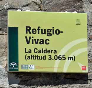 Se til venstre, denne ligger da ca 500 m lavere enn toppen, en halvtime, på god sti. |
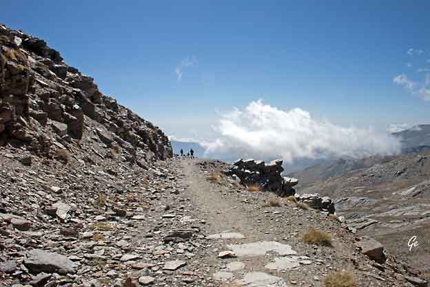
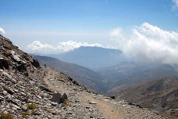
Resten av veien tilbake til bussen gikk vi på god vei.
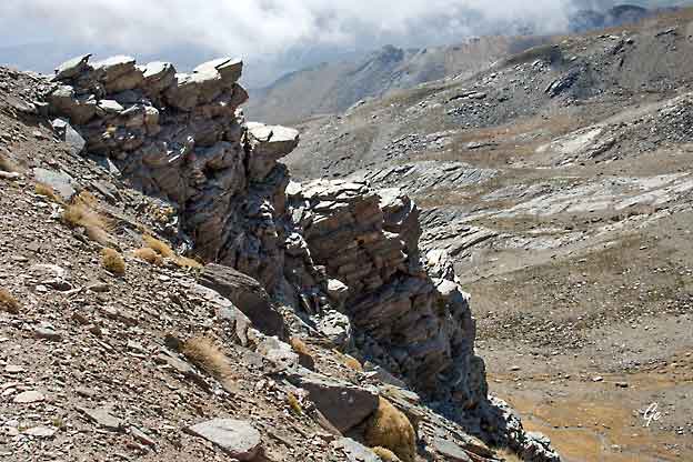
Denne detaljen viser hvorledes frostsprengningen bryter ned fjellet.
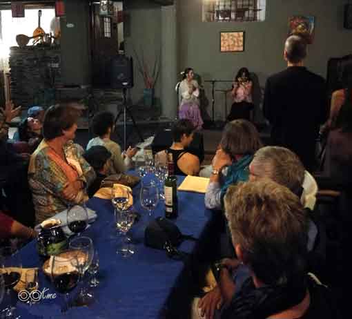
Så er det lørdagskveld på Cortijo Catifalarga, den lokale
kafeen, flamenco! Det var absolutt verdt å se og høre på.
Søndag 17. september 2017
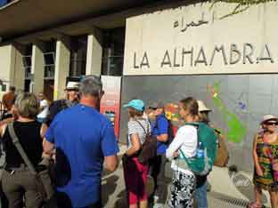
Vi tar farvel med La Alpujarra etter frokost og setter kurs mot Granada i buss.
Alhambra med tilhørende hager er et must når man er på disse kanter, og vi
blir guidet rundt den berømte og vakre borgen fra muslimtiden før vi
vandrer ned og over på den andre høyden, det brosteinsbelagte
araberkvarteret på toppen av Albacin, hvor vi har slående utsikt over
Alhambra og hvor vi inntar lunsjen på Plaza San Nicolas og får smake
varierte spanske retter, og har du ikke stiftet bekjentskap med den spanske
sommerdrikken tinto de verano før, så har du anledning nå!
Vi vandrer nedover og gjennom de trange gatene hvor mye av det vi ser er
marokkansk inspirert, byens mange tehus for eksempel.
Bagasjen er i mellomtiden brakt til hotellet, og det er valgfritt hvordan den
enkelte vil tilbringe ettermiddagen i historiske og vakre Granada.
Vi møtes til felles middag på hyggelig restaurant.
 |
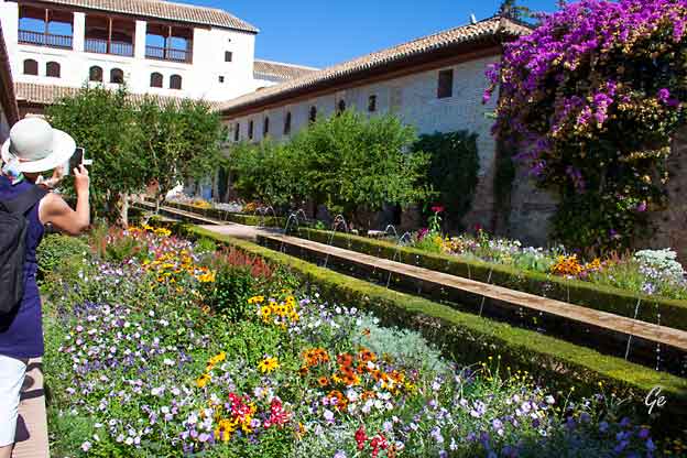
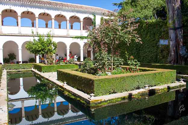
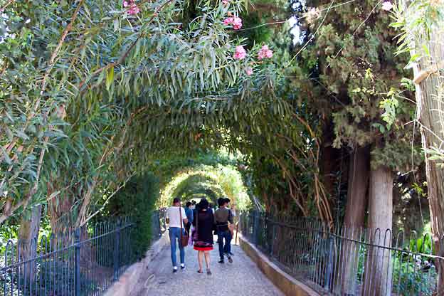
 På Generalife |
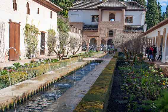
Bilde fra 17. september 2017
Ikke så mye blomster i mars måned. Bildet er tatt 8. mars 2016
The name Alhambra comes from an Arabic root which means "red or crimson castle",
perhaps due to the hue of the towers and walls that surround the entire hill of La
Sabica which by starlight is silver but by sunlight is transformed into gold. But there
is another more poetic version, evoked by the Moslem analysts who speak of the
construction of the Alhambra fortress "by the light of torches", the reflections of
which gave the walls their particular coloration. Created originally for military
purposes, the Alhambra was an "alcazaba" (fortress), an "alcázar" (palace) and a
small "medina" (city), all in one. This triple character helps to explain many
distinctive features of the monument.
http://www.andalucia.com/cities/granada/alhamhistory.htm
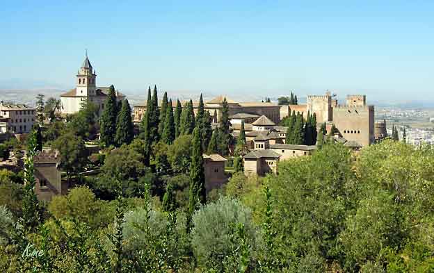
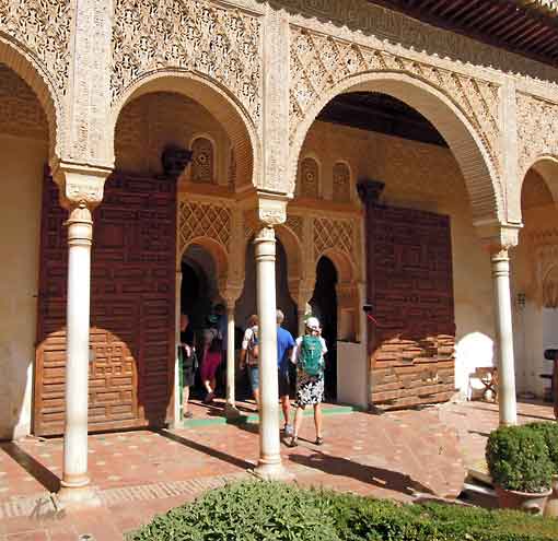
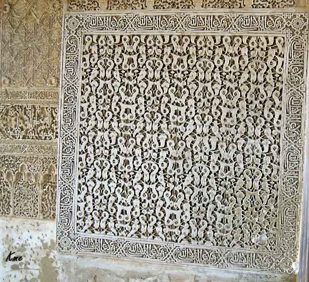
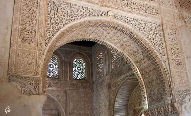
GENERALIFE
The word "Generalife" has been translated as "garden of paradise", "orchard"or "garden of feasts".
After the city was conquered, the Generalife was granted by the Catholic
Monarchs to the Granada Venegas family. The promenade leads to the
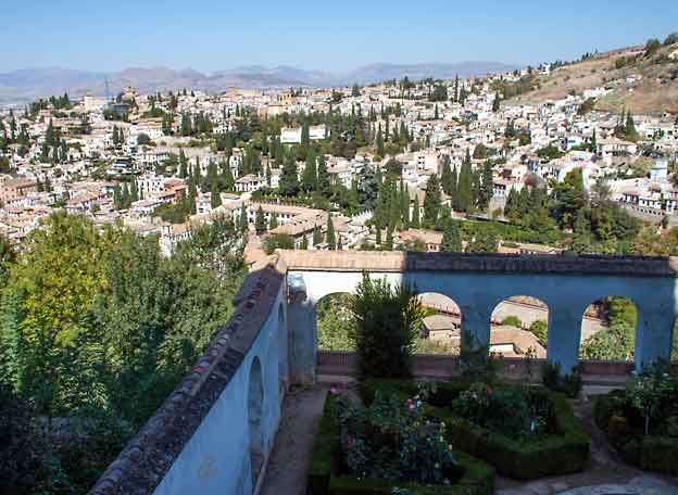
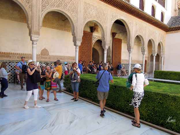
"Patio de la Acequia" which is the most celebrated spot and the heart and
soul of the palace grounds. On the western side there is a gallery of 18 arches.
The northern portico is called the Mirador and has five arches in front,
slender and stylised and three behind made of marble with stalactite
capitals. Through the north portico is the "Patio de los Cipreses",
with a pool in the centre.
http://www.andalucia.com/cities/granada/generalife.htm
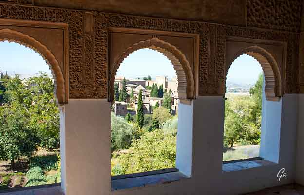
Generalife
Generalife
Generalife
Generalife
Generalife
Generalife
Generalife
Generalife
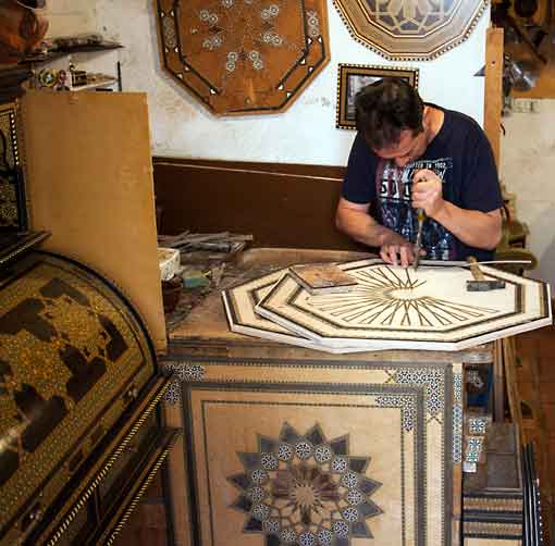 |
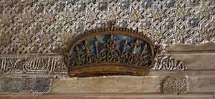
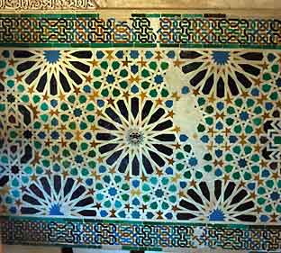
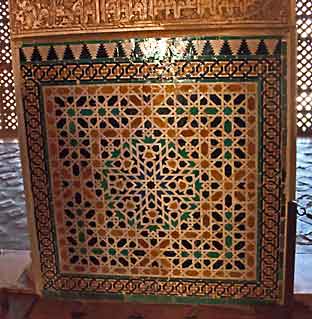
På den loddrette delen av bordet han sitter ved er det ferdige produktet. Dette er presisjonsarbeid! Prisen kan variere enormt på ferdige produkter som, for ukyndige, ser helt like ut. Det er imidlertid, for kjenneren, mulig å se om mønsteret er av plast eller metall, om det er brukt maskiner osv osv. |
 |
 |
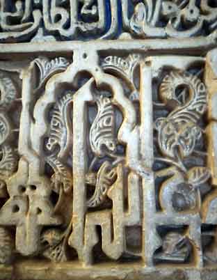 Fisker er religiøst symbol i flere religioner? |
 |
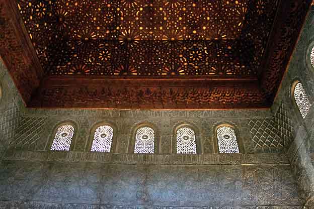
Nasrite alcázares
| The Court of the Lions
is characterised by its profound originality, a harmonious merging of East and West. It has been compared to a grove of 124 palm trees, most with double columns, around the oasis of the central fountain with its twelve lions. The twelve-sided marble fountain rests upon the backs of the lions. Water, so essential as a decorative element acquires here an exceptional importance. It ascends and spills from the basin, which has been compared with the 'sea of bronze' of Solomon's Temple,to the mouths of the lions, from which it is distributed throughout the courtyard. A lovely "qasida" (ode) by Ibn Zamrak circles the rim of the basin. http://www.andalucia.com/cities /granada/casareal.htm |
 The court of Lions |
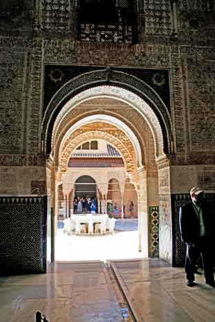
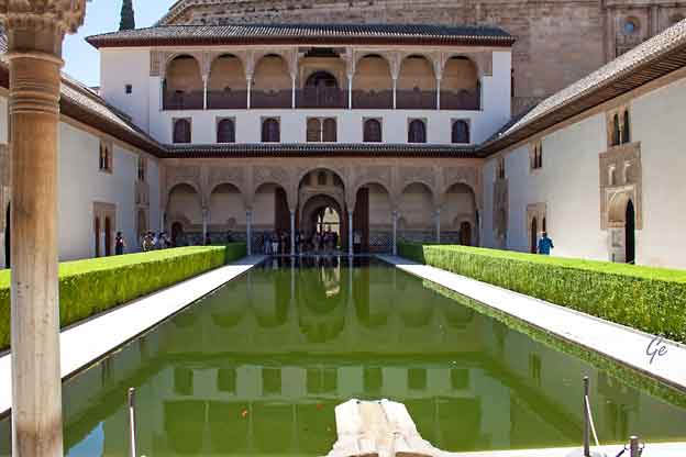
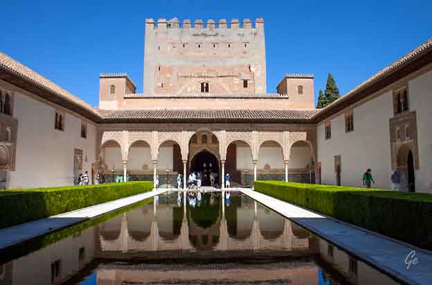
construction of the palaces (called Casa Real Vieja, "old Royal House or Palace") dates
back to the 14th century and is the work of two great kings: Yusuf I and Muhammed V.
It is comprised of several palace groups with a series of courts and structures
surrounding them which were born out of transitory or ornamental necessity. Since the
16th century these "Nasrite alcázares" (palaces) have been designated the "Casa Real
Vieja" (Old Royal House) in order to distinguish them from the Christian buildings.
http://www.andalucia.com/cities/granada/casareal.htm
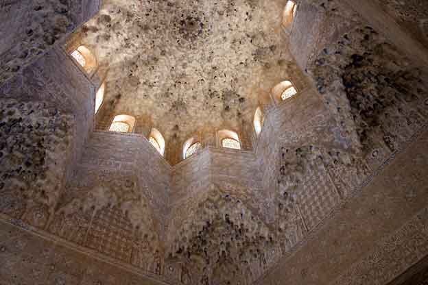
including a reception salon and the royal apartments Chamber of the Lions.
This spectacular chamber is the work of Muhammed V and illustrates the
most beautiful possibilities of Granada Moslem art.
Throughout this chamber a subtle air of femininity and daintiness is sensed,
in keeping with the function of these private apartments, devoted to the
placid enjoyment of home and family life.
http://www.andalucia.com/cities/granada/casareal.htm
Nasrite alcázares
Nasrite alcázares
Nasrite alcázares
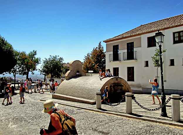
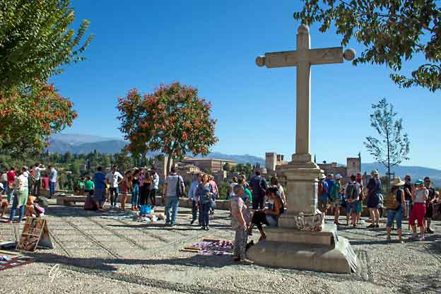
Et torv, på en lite høyde, Albaicin, med kafeen (se under til høyre ).
Søndag ettermiddag, "hele Granada" ute til lunsj.
Bygget med rundt tak er en aljibe.
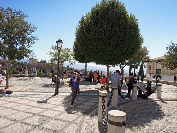
Fra Albaicin er det fin utsikt mot Alhambra
Aljibe is the word for an underground well, a water deposit tank or cistern. In Granada
many of these historic structures can be seen dotted around the Albaicin quarter.
The largest one in the city is the Aljibe del Rey which holds over 79,251 US gallons or
300 cubic metres of water.
At the Aljibe del Rey, Fundacion de Agua is a Centre about the water supply
and history of Granada. Ocasionally they offer guided tours of the Aljibes of
the Albaicin and other related activities. (in Spanish)
https://www.piccavey.com/aljibes-granada/
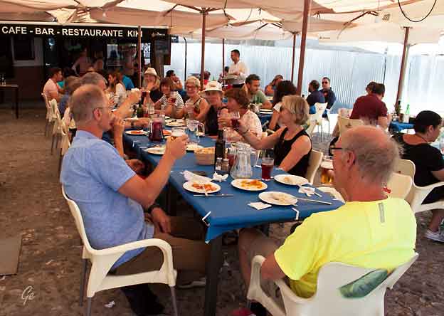
Mat, og særlig drikke, var det nok av. Grete sikrer seg sangriamuggen(e)
Alhambra and there are dramatic views of this area from the palace's famous
rose gardens. The Zirid Monarchs first established their court here in the 11th
century although little remains from this era today, apart from some crumbling
remains of the wall (including the section which used to encircle the Albaicín and
the gates of El Arco de las Pesas, Monaita and Elvira).
Some say that the name Albaicin means "quarter of the falconers", but most
historians prefer "quarter of the people of Baeza". When the Moors were driven
by the Christians out of the city of Baeza, near Jaen, in the 13th century, they
fled to Granada and re-settled on the northern part of the hill, creating a suburb
which took on the name of their former home.
citadel, stretching from the Colegiata del Salvador to the Plaza San Miguel
Bajo. Only the western wall of this fortress still exists (it's best seen from the
Mirador San Cristobal); the castle keep stood on what is now the Plaza
San Nicolás. It was only after the fall of Cordoba, in 1236, that the centre
of Moorish power was transferred to Granada - bringing a massive influx
of nobles, architects and money which led to the construction of a fabulous
new castle on the hill across the river valley: the Alhambra, Calat-Al-Hama
or "The Red Castle", so called for its reddish stone.
http://www.andalucia.com/cities/granada/albaicin.htm
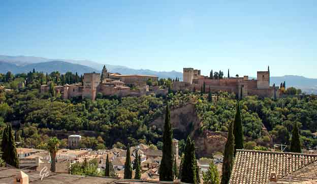
Alhambra fra Albaicin
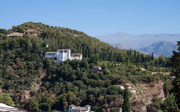
Generalife sett fra Albaicin
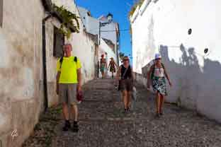 |
Fra
Plaza San Nicolas gikk vi gjennom trange handlegater ned til sentrum. Ingen handling nå. Vi skulle først til hotellet vårt. Der var bagasjen allerede på plass. Etterpå var det tid for å utforske byen på egenhånd |
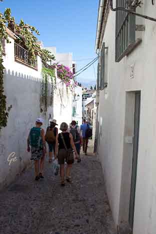 |
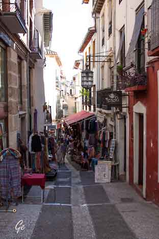 |
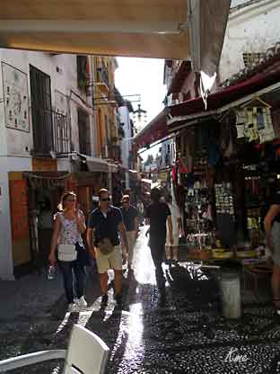 |
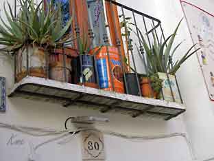 Gjenbruk |
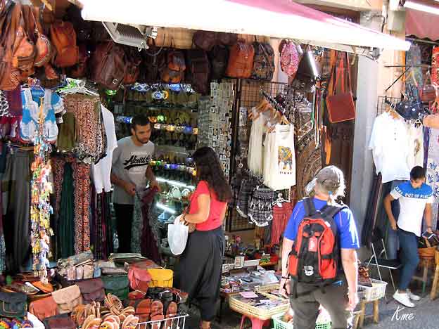
Tja, noe å kjøpe? Det var en rekke basargater, en for hver varekategori .
Heldigvis ikke den masetypen der eieren henger rundt halsen på deg
etter ett sekund
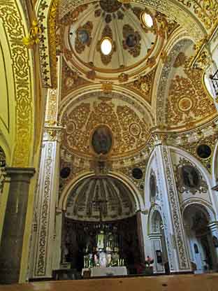 |
Iglesia
del Corpus Christi Modern Age: 16th - 17th Centuries Style: Baroque This church belonged to the old "Hospital de Corpus Christi", a brotherhood founded in Santa Fe to care for the soldiers who took part in the siege of Granada by the Catholic Kings. In the middle of the 17th century it was decided to recontruct and expand the building, resulting in the actual conventional layout and the church where there is an outstanding door designed by Alonso Cano.The interior of the temple has sketched floor similar, |
Alonso de Mena was buried.
Without his hospitable ideals the order of Augustianian Recollets would
have reigned until the early 20th century. (fra skilt utenfor kirken)
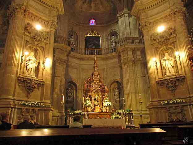
Iglesia del Sagrario
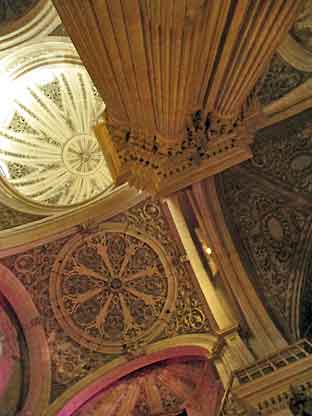 |
The
Renaissance and Baroque city Iglesia del Sagrario Modern Age: 1705-1722 Style Baroque Architects: Francisco Hurtado Izquierdo, Jose de Bada y Navajas It occupies the site where the major Mosque of Granada used to stand. The building follows at a smaller scale the model established by the Basilica of Saint Peter: Greek cross inside a square. The central part is covered by a hemispherical dome and the four sides of the transept by domical vaults. The front, is divided into two, with sculptures by Agustin Vera Moreno in the second part: S. Peter in the middle, flanked by S. John Nepomuceno and S. Ivo (fra skilt ved kirken) |
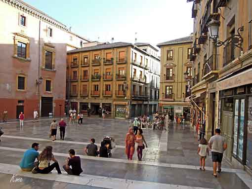
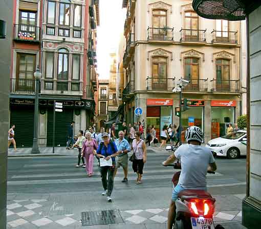
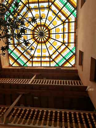
Byen våkner
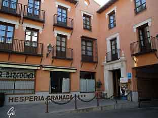 Hotellet vårt Hesperia Granada eller NH Granada Centro |
 |
Hjemreise.
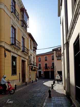
Vi hadde tid til en liten bytur før bussavgang til flyplassen
 |
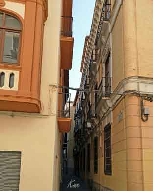 |
Norske byplanleggere oier seg, vil jeg tro.
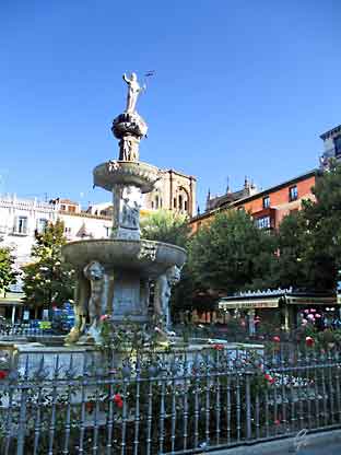 De eldre menn, med verden på sine skuldre. |
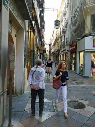 Ut på jobb |
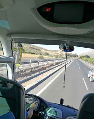 Motorvei, alltid interessant |
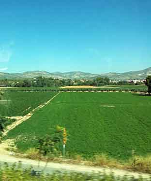 De Andalusiske sletter |
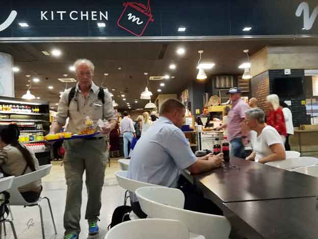
Flyplassjag
